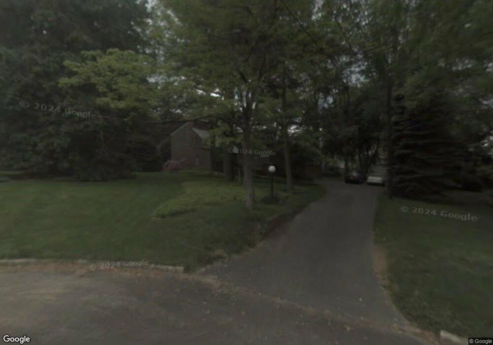
210 Nicholson Dr Moorestown, NJ 08057
Estimated Value: $763,564 - $916,000
Studio
--
Bath
2,674
Sq Ft
$320/Sq Ft
Est. Value
About This Home
This home is located at 210 Nicholson Dr, Moorestown, NJ 08057 and is currently estimated at $854,391, approximately $319 per square foot. 210 Nicholson Dr is a home located in Burlington County with nearby schools including South Valley Elementary School, Moorestown Upper Elementary School, and William Allen Middle School.
Ownership History
Date
Name
Owned For
Owner Type
Purchase Details
Closed on
Apr 26, 1996
Sold by
Serlin Esquire David M and Denbo Sylvia F
Bought by
Simkins Robert W and Simkins Kathleen
Current Estimated Value
Purchase Details
Closed on
Dec 13, 1994
Sold by
Denbo Sidney and Denbo Sylvia F
Bought by
Denbo Sylvia F
Create a Home Valuation Report for This Property
The Home Valuation Report is an in-depth analysis detailing your home's value as well as a comparison with similar homes in the area
Home Values in the Area
Average Home Value in this Area
Purchase History
| Date | Buyer | Sale Price | Title Company |
|---|---|---|---|
| Simkins Robert W | $290,000 | -- | |
| Denbo Sylvia F | -- | -- |
Source: Public Records
Tax History
| Year | Tax Paid | Tax Assessment Tax Assessment Total Assessment is a certain percentage of the fair market value that is determined by local assessors to be the total taxable value of land and additions on the property. | Land | Improvement |
|---|---|---|---|---|
| 2025 | $12,537 | $441,900 | $188,500 | $253,400 |
| 2024 | $12,157 | $441,900 | $188,500 | $253,400 |
| 2023 | $12,157 | $441,900 | $188,500 | $253,400 |
| 2022 | $12,033 | $441,900 | $188,500 | $253,400 |
| 2021 | $10,829 | $441,900 | $188,500 | $253,400 |
| 2020 | $11,799 | $441,900 | $188,500 | $253,400 |
| 2019 | $11,591 | $441,900 | $188,500 | $253,400 |
| 2018 | $11,277 | $441,900 | $188,500 | $253,400 |
| 2017 | $11,375 | $441,900 | $188,500 | $253,400 |
| 2016 | $11,335 | $441,900 | $188,500 | $253,400 |
| 2015 | $11,198 | $441,900 | $188,500 | $253,400 |
| 2014 | $10,632 | $441,900 | $188,500 | $253,400 |
Source: Public Records
Map
Nearby Homes
- 127 Schooley St
- 104 Mount Laurel Rd
- 308 Elm St
- 133 Plum St Unit 6
- 140 E Central Ave
- 396 E Linden St
- 80 E 3rd St
- 205 E Central Ave
- 66 E 3rd St
- 337 E 2nd St
- 500 Chester Ave
- 408 N Stanwick Rd
- 451 E 2nd St
- 526 E Main St
- 129 S Church St
- 437 Windrow Clusters Dr
- 8 S Close Unit 8
- 10 E Close Unit 10EAST
- 22 E Close Unit 22
- 15 W Close Unit 15
- 214 Nicholson Dr
- 206 Nicholson Dr
- 131 Chestnut St
- 127 Chestnut St
- 141 Chestnut St
- 218 Nicholson Dr
- 123 Chestnut St
- 202 Nicholson Dr
- 199 Chestnut St
- 115 Chestnut St
- 222 Nicholson Dr
- 215 E Main St
- 219 Nicholson Dr
- 203 E Main St
- 130 Curtis Ln
- 208 Eastbourne Terrace
- 212 Eastbourne Terrace
- 219 E Main St
- 223 E Main St
- 204 Eastbourne Terrace
Your Personal Tour Guide
Ask me questions while you tour the home.