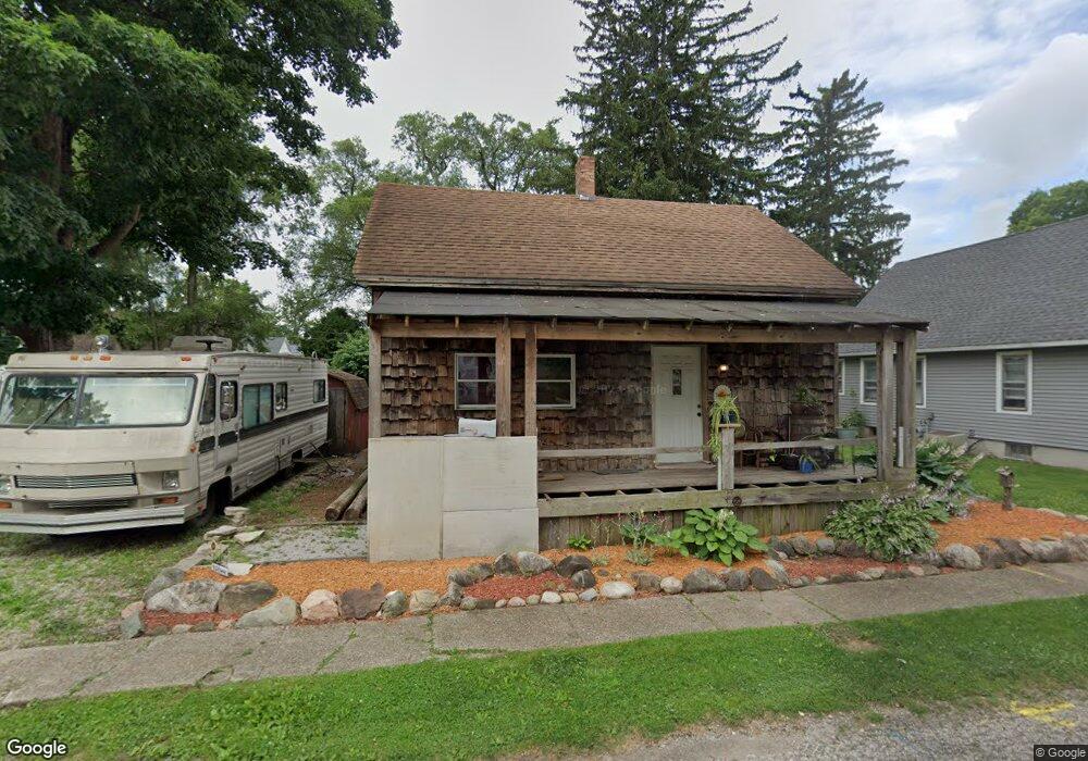
210 Norton St La Porte, IN 46350
Estimated Value: $127,740 - $188,000
2
Beds
1
Bath
1,333
Sq Ft
$122/Sq Ft
Est. Value
About This Home
This home is located at 210 Norton St, La Porte, IN 46350 and is currently estimated at $162,435, approximately $121 per square foot. 210 Norton St is a home located in LaPorte County with nearby schools including Hailmann Elementary School, La Porte High School, and Kesling Intermediate School.
Ownership History
Date
Name
Owned For
Owner Type
Purchase Details
Closed on
Dec 2, 2005
Sold by
Weiss Marilyn E
Bought by
Roberts Christopher L and Roberts Lisa A
Current Estimated Value
Home Financials for this Owner
Home Financials are based on the most recent Mortgage that was taken out on this home.
Original Mortgage
$56,000
Outstanding Balance
$36,849
Interest Rate
9.45%
Mortgage Type
Fannie Mae Freddie Mac
Estimated Equity
$125,586
Purchase Details
Closed on
Jan 7, 2005
Sold by
Weiss Marilyn E
Bought by
Weiss Marilyn E
Create a Home Valuation Report for This Property
The Home Valuation Report is an in-depth analysis detailing your home's value as well as a comparison with similar homes in the area
Home Values in the Area
Average Home Value in this Area
Purchase History
| Date | Buyer | Sale Price | Title Company |
|---|---|---|---|
| Roberts Christopher L | -- | Meridian Title Corp | |
| Weiss Marilyn E | -- | -- |
Source: Public Records
Mortgage History
| Date | Status | Borrower | Loan Amount |
|---|---|---|---|
| Open | Roberts Christopher L | $56,000 |
Source: Public Records
Tax History Compared to Growth
Tax History
| Year | Tax Paid | Tax Assessment Tax Assessment Total Assessment is a certain percentage of the fair market value that is determined by local assessors to be the total taxable value of land and additions on the property. | Land | Improvement |
|---|---|---|---|---|
| 2024 | $983 | $62,900 | $22,100 | $40,800 |
| 2022 | $632 | $67,900 | $18,500 | $49,400 |
| 2021 | $548 | $69,300 | $18,500 | $50,800 |
| 2020 | $534 | $69,300 | $18,500 | $50,800 |
| 2019 | $600 | $71,500 | $17,700 | $53,800 |
| 2018 | $1,306 | $62,900 | $14,200 | $48,700 |
| 2017 | $1,306 | $62,900 | $14,200 | $48,700 |
| 2016 | $1,187 | $56,600 | $16,400 | $40,200 |
| 2014 | $1,038 | $51,600 | $16,400 | $35,200 |
Source: Public Records
Map
Nearby Homes