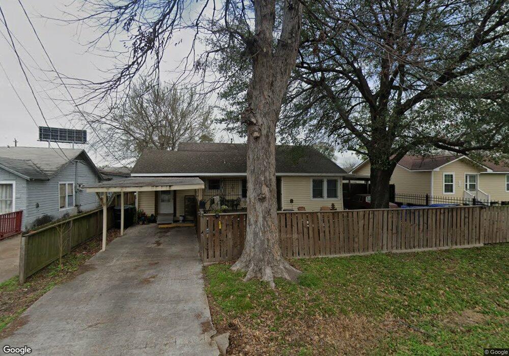
210 Oddo St Houston, TX 77022
Northside-Northline NeighborhoodEstimated Value: $191,345 - $216,000
3
Beds
1
Bath
1,209
Sq Ft
$164/Sq Ft
Est. Value
About This Home
This home is located at 210 Oddo St, Houston, TX 77022 and is currently estimated at $198,336, approximately $164 per square foot. 210 Oddo St is a home located in Harris County with nearby schools including Herrera Elementary School, Burbank Middle School, and Sam Houston Math, Science & Technology Center.
Ownership History
Date
Name
Owned For
Owner Type
Purchase Details
Closed on
Aug 15, 2024
Sold by
Yancy Helen S
Bought by
Ybarra Selia C
Current Estimated Value
Purchase Details
Closed on
Mar 20, 2024
Sold by
Ybarra Selia C
Bought by
Yancy Helen S
Purchase Details
Closed on
Sep 19, 2018
Sold by
Nelsen John Thomas
Bought by
Ybarra Selia C
Purchase Details
Closed on
Aug 31, 2018
Sold by
Ramirez Brandon
Bought by
Ybarra Selia C
Purchase Details
Closed on
Jun 27, 2018
Sold by
Ybarra Armando
Bought by
Ybarra Selia C
Create a Home Valuation Report for This Property
The Home Valuation Report is an in-depth analysis detailing your home's value as well as a comparison with similar homes in the area
Home Values in the Area
Average Home Value in this Area
Purchase History
| Date | Buyer | Sale Price | Title Company |
|---|---|---|---|
| Ybarra Selia C | -- | None Listed On Document | |
| Yancy Helen S | -- | None Listed On Document | |
| Ybarra Selia C | -- | None Available | |
| Ybarra Selia C | -- | None Available | |
| Ybarra Selia C | -- | None Available |
Source: Public Records
Tax History
| Year | Tax Paid | Tax Assessment Tax Assessment Total Assessment is a certain percentage of the fair market value that is determined by local assessors to be the total taxable value of land and additions on the property. | Land | Improvement |
|---|---|---|---|---|
| 2025 | $2,151 | $193,030 | $93,500 | $99,530 |
| 2024 | $2,151 | $193,030 | $93,500 | $99,530 |
| 2023 | $1,775 | $189,630 | $81,125 | $108,505 |
| 2022 | $3,277 | $155,839 | $60,500 | $95,339 |
| 2021 | $3,153 | $135,292 | $60,500 | $74,792 |
| 2020 | $3,043 | $125,657 | $60,500 | $65,157 |
| 2019 | $2,940 | $116,183 | $49,500 | $66,683 |
| 2018 | $2,212 | $87,413 | $34,375 | $53,038 |
| 2017 | $2,210 | $87,413 | $34,375 | $53,038 |
| 2016 | $2,210 | $87,413 | $34,375 | $53,038 |
| 2015 | $96 | $84,023 | $27,500 | $56,523 |
| 2014 | $96 | $73,360 | $19,250 | $54,110 |
Source: Public Records
Map
Nearby Homes
- 206 Oddo St
- 120 Westfield St
- 64 Neyland St
- 104 Foyce St
- 136 Theron St
- 105 Oddo St
- 1315 Neyland St
- 1224 Johnston St
- 1228 Johnston St
- 1222 Johnston St
- 1224 Neyland St
- 0 E 31st St Unit 75519178
- 0 W Hardy St Unit 97848877
- 0 W Hardy St Unit 80694202
- 3111 Eastman St
- 1216 Johnston St Unit A/B
- 0 Yorkshire St Unit 22534906
- 164 Wallace St
- 4129 Rogers St
- 1107 E 40th 1/2 St
Your Personal Tour Guide
Ask me questions while you tour the home.