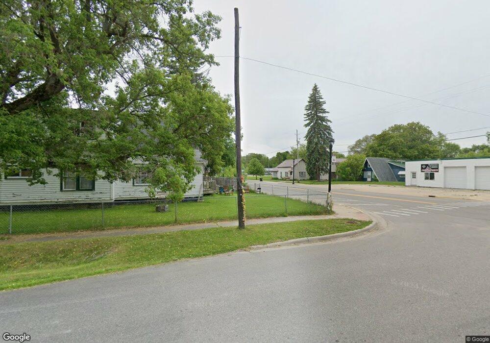
210 Ofarrell St Whittemore, MI 48770
Estimated Value: $137,000 - $205,000
Studio
--
Bath
2,010
Sq Ft
$78/Sq Ft
Est. Value
About This Home
This home is located at 210 Ofarrell St, Whittemore, MI 48770 and is currently estimated at $156,923, approximately $78 per square foot. 210 Ofarrell St is a home located in Iosco County with nearby schools including Whittemore-Prescott Elementary School and Whittemore-Prescott Junior/Senior High School.
Ownership History
Date
Name
Owned For
Owner Type
Purchase Details
Closed on
Jan 28, 2025
Sold by
Cunningham Steven R
Bought by
Cunningham Steven R and Cunningham Kayla
Current Estimated Value
Home Financials for this Owner
Home Financials are based on the most recent Mortgage that was taken out on this home.
Original Mortgage
$148,148
Interest Rate
6.89%
Mortgage Type
FHA
Purchase Details
Closed on
Dec 22, 2020
Sold by
Brurtch Charles W
Bought by
Cunningham Steven R
Home Financials for this Owner
Home Financials are based on the most recent Mortgage that was taken out on this home.
Original Mortgage
$88,636
Interest Rate
2.8%
Mortgage Type
New Conventional
Purchase Details
Closed on
Nov 6, 2012
Sold by
Burtch Charles W and Burtch Shelly R
Bought by
Burtch Charles W
Create a Home Valuation Report for This Property
The Home Valuation Report is an in-depth analysis detailing your home's value as well as a comparison with similar homes in the area
Purchase History
| Date | Buyer | Sale Price | Title Company |
|---|---|---|---|
| Cunningham Steven R | -- | Crossroads Title | |
| Cunningham Steven R | $85,000 | None Available | |
| Burtch Charles W | -- | -- |
Source: Public Records
Mortgage History
| Date | Status | Borrower | Loan Amount |
|---|---|---|---|
| Previous Owner | Cunningham Steven R | $148,148 | |
| Previous Owner | Cunningham Steven R | $88,636 |
Source: Public Records
Tax History
| Year | Tax Paid | Tax Assessment Tax Assessment Total Assessment is a certain percentage of the fair market value that is determined by local assessors to be the total taxable value of land and additions on the property. | Land | Improvement |
|---|---|---|---|---|
| 2025 | $550 | $52,700 | $0 | $52,700 |
| 2024 | $1,507 | $51,700 | $0 | $0 |
| 2023 | $446 | $50,100 | $1,500 | $48,600 |
| 2022 | $1,403 | $42,400 | $1,500 | $40,900 |
| 2021 | $1,020 | $34,300 | $1,500 | $32,800 |
| 2020 | $997 | $34,100 | $1,500 | $32,600 |
| 2019 | $937 | $32,300 | $1,500 | $30,800 |
| 2018 | $918 | $29,100 | $1,500 | $27,600 |
| 2017 | $881 | $30,400 | $30,400 | $0 |
| 2016 | $895 | $30,400 | $0 | $0 |
| 2015 | -- | $30,000 | $0 | $0 |
| 2014 | -- | $30,400 | $0 | $0 |
| 2013 | -- | $34,100 | $0 | $0 |
Source: Public Records
Map
Nearby Homes
- 311 W State St
- 316 S Bullock St
- 1870 Michigan 65
- 100 & 102 S Bullock St
- 6283 Plant Rd
- 5810 Whittemore Rd
- 1831 Kitchen Rd
- 6686 Keystone Rd
- 6824 Keystone Rd
- 5745 Carpenter Rd
- 5363 Keystone Rd
- 10 S Imperial Dr
- 388 W Lagrant Rd
- 4901 Michigan 55
- 77 W Mason Rd
- 4921 Carpenter Rd
- 4861 Carpenter Rd
- N/A Crosby Rd
- VL Old State Rd
- N/A Main St
- 501 W 2nd Street 501 W Second St
- 206 Ofarrell St
- 501 W 2nd St
- 204 Ofarrell St
- 506 W 2nd St
- 205 Dale St
- 205 Dale St
- 301 Dale St
- 309 Dale St
- 405 W 2nd St
- 406 W 2nd St
- 504 S Bullock St
- 500 S Bullock St
- 508 S Bullock St
- 510 S Bullock St
- 300 Dale St
- 313 Dale St
- 418 S Bullock St
- 514 S Bullock St
- 316 W 3rd St
Your Personal Tour Guide
Ask me questions while you tour the home.