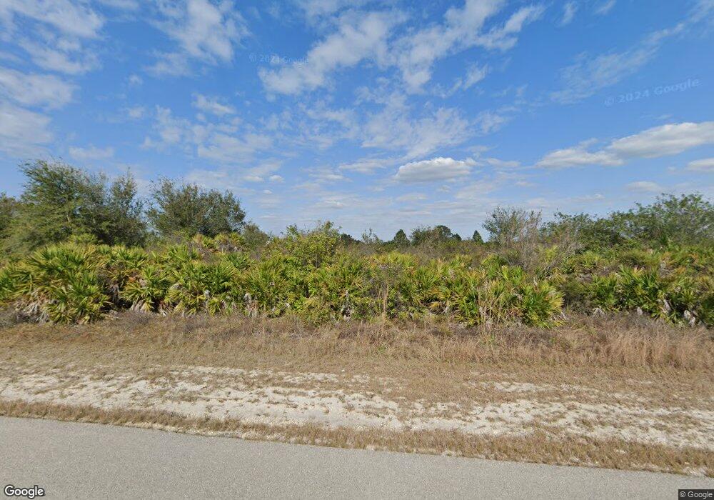
210 Parsons St Lehigh Acres, FL 33974
Alabama NeighborhoodEstimated Value: $16,481 - $329,000
--
Bed
--
Bath
--
Sq Ft
0.29
Acres
About This Home
This home is located at 210 Parsons St, Lehigh Acres, FL 33974 and is currently estimated at $125,160. 210 Parsons St is a home located in Lee County with nearby schools including Lehigh Elementary School, Gateway Elementary School, and The Alva School.
Ownership History
Date
Name
Owned For
Owner Type
Purchase Details
Closed on
Sep 15, 2021
Sold by
Garcia Oriel Yera
Bought by
Bartsch Helmut and Bartsch Family Revocable Trust
Current Estimated Value
Purchase Details
Closed on
Mar 2, 2017
Sold by
Cape Lehigh Llc
Bought by
Garcia Oriel Yera
Purchase Details
Closed on
Sep 30, 2004
Sold by
Usa Real Estate Solutions Llc
Bought by
Cape Lehigh Llc
Purchase Details
Closed on
Mar 16, 2004
Sold by
Leteul Claire
Bought by
Usa Real Estate Solutions Llc
Create a Home Valuation Report for This Property
The Home Valuation Report is an in-depth analysis detailing your home's value as well as a comparison with similar homes in the area
Home Values in the Area
Average Home Value in this Area
Purchase History
| Date | Buyer | Sale Price | Title Company |
|---|---|---|---|
| Bartsch Helmut | $15,000 | Experienced T&E Llc | |
| Garcia Oriel Yera | $3,500 | Blue Marlin Title Corp | |
| Cape Lehigh Llc | $21,000 | Community Title Group Inc | |
| Usa Real Estate Solutions Llc | $12,000 | -- |
Source: Public Records
Tax History Compared to Growth
Tax History
| Year | Tax Paid | Tax Assessment Tax Assessment Total Assessment is a certain percentage of the fair market value that is determined by local assessors to be the total taxable value of land and additions on the property. | Land | Improvement |
|---|---|---|---|---|
| 2025 | $450 | $13,672 | -- | -- |
| 2024 | $450 | $12,429 | -- | -- |
| 2023 | $385 | $11,299 | $0 | $0 |
| 2022 | $343 | $10,272 | $10,272 | $0 |
| 2021 | $285 | $6,000 | $6,000 | $0 |
| 2020 | $277 | $5,000 | $5,000 | $0 |
| 2019 | $132 | $4,800 | $4,800 | $0 |
| 2018 | $120 | $4,500 | $4,500 | $0 |
| 2017 | $109 | $4,441 | $4,441 | $0 |
| 2016 | $100 | $4,000 | $4,000 | $0 |
| 2015 | $93 | $3,300 | $3,300 | $0 |
| 2014 | -- | $2,445 | $2,445 | $0 |
| 2013 | -- | $2,600 | $2,600 | $0 |
Source: Public Records
Map
Nearby Homes
- 210 Pearson St
- 368 Pauline Ave
- 350 Pauline Ave
- 209 Paxton St
- 211 Paxton St
- 213 Paxton St
- 248 Pullman St
- 350-352 Pullman St
- 234 Pullman St
- 155 Pearson St
- 154 Paxton St
- 336 Pennfield St
- 157/159 Pennfield St
- 218 Parsons St
- 326 Pauline Ave
- 211 Parsons St
- 329 Paulcrest Ave
- 433 Paulcrest Ave
- 213 Patio Cir
- 344 Parkman Ave
- 212 Pearson St
- 212 Pullman St
- 210 Pullman St
- 218 Pullman St
- 218 Pullman St
- 214 Pullman St
- 354 Pauline Ave
- 218 Pearson St
- 370 Pauline Ave
- 352 Pauline Ave
- 216 Paxton St
- 224 Pullman St
- 687/689 Alabama Rd S
- 341 Paulcrest Ave
- 218 Paxton St
- 347 Paulcrest Ave
- 226 Pullman St
- 226 Pullman St
- 209 Paxton St Unit 11
