210 Paul Weaver Rd Turtletown, TN 37391
Estimated Value: $423,000 - $455,000
Studio
2
Baths
2,312
Sq Ft
$189/Sq Ft
Est. Value
About This Home
This home is located at 210 Paul Weaver Rd, Turtletown, TN 37391 and is currently estimated at $437,221, approximately $189 per square foot. 210 Paul Weaver Rd is a home located in Polk County.
Ownership History
Date
Name
Owned For
Owner Type
Purchase Details
Closed on
Jul 12, 2006
Sold by
Vernin Robinson Kenneth
Bought by
Vernin Robinson Kenneth
Current Estimated Value
Purchase Details
Closed on
Dec 28, 1994
Bought by
Robinson Kenneth Vernin and Robinson Barbara Jo
Create a Home Valuation Report for This Property
The Home Valuation Report is an in-depth analysis detailing your home's value as well as a comparison with similar homes in the area
Purchase History
| Date | Buyer | Sale Price | Title Company |
|---|---|---|---|
| Vernin Robinson Kenneth | -- | -- | |
| Robinson Kenneth Vernin | $26,100 | -- |
Source: Public Records
Tax History
| Year | Tax Paid | Tax Assessment Tax Assessment Total Assessment is a certain percentage of the fair market value that is determined by local assessors to be the total taxable value of land and additions on the property. | Land | Improvement |
|---|---|---|---|---|
| 2025 | $1,603 | $94,900 | $16,525 | $78,375 |
| 2024 | $1,603 | $94,900 | $16,525 | $78,375 |
| 2023 | $1,603 | $94,900 | $0 | $0 |
| 2022 | $1,554 | $61,875 | $16,525 | $45,350 |
| 2021 | $1,554 | $61,875 | $16,525 | $45,350 |
| 2020 | $1,554 | $61,875 | $16,525 | $45,350 |
| 2019 | $1,554 | $61,875 | $16,525 | $45,350 |
| 2018 | $1,554 | $61,875 | $16,525 | $45,350 |
| 2017 | $1,610 | $63,850 | $17,450 | $46,400 |
| 2016 | $1,534 | $63,850 | $17,450 | $46,400 |
| 2015 | $1,534 | $63,850 | $17,450 | $46,400 |
| 2014 | $1,534 | $63,850 | $0 | $0 |
Source: Public Records
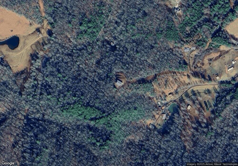
Map
Nearby Homes
- 35AC Ducks Nest Rd
- 254 Padgett Ln
- 115 Calvender Rd
- Lot 32 Calvender Rd
- Lot 53 Calvender Rd
- 156 Elrod Cir
- 1051 Ducks Nest Rd
- LT 28A Sassafras Ridge Rd
- Lot 20 Sassafras Ridge Rd
- 3.5AC Sassafras Ridge Rd
- 385 Elrod Cir
- 217 Beaver Pond Dr
- 29.40 Ac Bethlehem Rd
- 226 Shinbone Mountain Rd
- 0000 Kimsey Dairy Rd
- 00000 Kimsey Dairy Rd
- 0 Stansbury Mountain Rd
- 227 Mcallister Rd
- 1500 Bear Mountain Rd
- TBD Pack Mountain Rd
- 280 Paul Weaver Rd
- 246 Paul Weaver Rd
- 214 Paul Weaver Rd
- 1300 New Stansbury Rd
- 0 Pippin Dr
- 162 Pippin Dr
- 122 Pippin Dr
- 152 Pippin Dr
- 00 Pippin Dr
- 181 Hughes Hollow Rd
- 175 Hughes Hollow Rd
- 1310 New Stansbury Rd
- 573 Ducks Nest Rd
- 100 Ducks Nest Rd
- 7.8 acs Ducks Nest Rd
- LOT 4 Ducks Nest Rd
- 00 Ducks Nest Rd
- 1109 Ducks Nest Rd
- 1305 New Stansbury Rd
- 1299 New Stansbury Rd
Your Personal Tour Guide
Ask me questions while you tour the home.