210 Payne Ln Folkston, GA 31537
Estimated Value: $156,375 - $212,000
3
Beds
2
Baths
1,383
Sq Ft
$133/Sq Ft
Est. Value
About This Home
This home is located at 210 Payne Ln, Folkston, GA 31537 and is currently estimated at $183,844, approximately $132 per square foot. 210 Payne Ln is a home located in Charlton County with nearby schools including Charlton County High School.
Ownership History
Date
Name
Owned For
Owner Type
Purchase Details
Closed on
Aug 31, 2020
Sold by
Walker Greta P
Bought by
Johnson Wesley C and Johnson Amanda M
Current Estimated Value
Home Financials for this Owner
Home Financials are based on the most recent Mortgage that was taken out on this home.
Original Mortgage
$126,852
Outstanding Balance
$112,573
Interest Rate
2.9%
Mortgage Type
VA
Estimated Equity
$71,271
Purchase Details
Closed on
Apr 27, 1993
Bought by
Walker Greta P
Create a Home Valuation Report for This Property
The Home Valuation Report is an in-depth analysis detailing your home's value as well as a comparison with similar homes in the area
Home Values in the Area
Average Home Value in this Area
Purchase History
| Date | Buyer | Sale Price | Title Company |
|---|---|---|---|
| Johnson Wesley C | $124,000 | -- | |
| Walker Greta P | -- | -- |
Source: Public Records
Mortgage History
| Date | Status | Borrower | Loan Amount |
|---|---|---|---|
| Open | Johnson Wesley C | $126,852 |
Source: Public Records
Tax History Compared to Growth
Tax History
| Year | Tax Paid | Tax Assessment Tax Assessment Total Assessment is a certain percentage of the fair market value that is determined by local assessors to be the total taxable value of land and additions on the property. | Land | Improvement |
|---|---|---|---|---|
| 2024 | $997 | $37,400 | $17,040 | $20,360 |
| 2023 | $896 | $31,600 | $14,040 | $17,560 |
| 2022 | $786 | $27,720 | $13,480 | $14,240 |
| 2021 | $942 | $26,440 | $10,080 | $16,360 |
| 2020 | $1,013 | $28,440 | $10,080 | $18,360 |
| 2019 | $334 | $28,440 | $10,080 | $18,360 |
| 2018 | $317 | $27,880 | $9,520 | $18,360 |
| 2017 | $987 | $27,080 | $9,520 | $17,560 |
| 2016 | $255 | $27,080 | $9,520 | $17,560 |
| 2015 | -- | $27,080 | $9,520 | $17,560 |
| 2014 | -- | $27,080 | $9,520 | $17,560 |
| 2013 | -- | $27,080 | $9,520 | $17,560 |
Source: Public Records
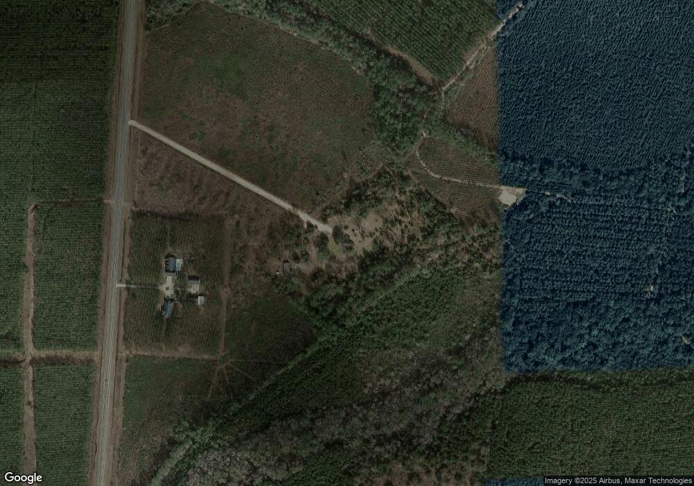
Map
Nearby Homes
- 0 Doc Rider Rd Unit 22152137
- 0 Doc Rider Rd Unit 22150861
- 0 Doc Rider Rd Unit 21994301
- 103 Doc Rider Rd
- 3047 John Burch Rd
- 478 Tracys Ferry Rd
- 551 Tracys Ferry Rd
- 0 Knight Rd 33-4n-23-1637-0002-0000
- 0 Broken Arrow Rd Unit 2061426
- 1000 Quail Ridge Rd
- 265 Traders Hill Rd
- 181 Traders Hill Rd
- 17187 Liller Rd
- 17031 Liller Rd
- 272344 Conner Nelson Rd
- 241834 County Road 121
- 181040 Autumn Rd
- 0 Co Rd 121 Unit 2076819
- 1.5 Acres Trinity Ln
- 28727 Tracy Rd
- 28672 Highway 121
- 28668 Highway 121
- 188 Odum Peacock Rd
- 235 Odum Peacock Rd
- 0 Odum Peacock Rd Unit 20004855
- 125 Odum Peacock Rd
- 446 Odum Peacock Rd
- 1979 Snowden Rd
- 28244 Highway 121
- 131 Snowden Rd
- 591 Snowden Rd
- 36 Snowden Rd
- 62 Snowden Rd
- 134 Snowden Rd
- 518 Snowden Rd
- 246 Snowden Rd
- 528 Snowden Rd
- 958 Jones Rd
- 766 Jones Rd
- 856 Jones Rd