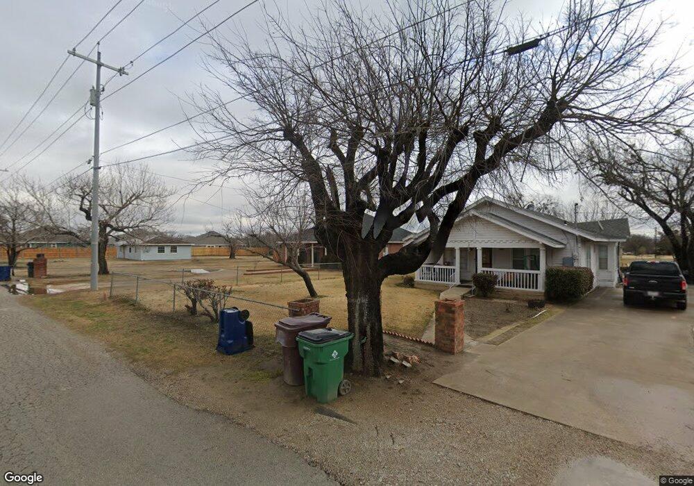
210 Railroad Ave Unit A Sanger, TX 76266
Estimated Value: $281,087 - $347,000
--
Bed
--
Bath
1,617
Sq Ft
$197/Sq Ft
Est. Value
About This Home
This home is located at 210 Railroad Ave Unit A, Sanger, TX 76266 and is currently estimated at $319,022, approximately $197 per square foot. 210 Railroad Ave Unit A is a home located in Denton County with nearby schools including Butterfield Elementary School, Clear Creek Intermediate School, and Sanger Sixth Grade Campus.
Ownership History
Date
Name
Owned For
Owner Type
Purchase Details
Closed on
Jul 11, 2007
Sold by
Jones Donald
Bought by
Jones Donald and Jones Akisha
Current Estimated Value
Home Financials for this Owner
Home Financials are based on the most recent Mortgage that was taken out on this home.
Original Mortgage
$124,950
Interest Rate
6.54%
Mortgage Type
Construction
Create a Home Valuation Report for This Property
The Home Valuation Report is an in-depth analysis detailing your home's value as well as a comparison with similar homes in the area
Home Values in the Area
Average Home Value in this Area
Purchase History
| Date | Buyer | Sale Price | Title Company |
|---|---|---|---|
| Jones Donald | -- | Title Resources |
Source: Public Records
Mortgage History
| Date | Status | Borrower | Loan Amount |
|---|---|---|---|
| Closed | Jones Donald | $124,950 |
Source: Public Records
Tax History Compared to Growth
Tax History
| Year | Tax Paid | Tax Assessment Tax Assessment Total Assessment is a certain percentage of the fair market value that is determined by local assessors to be the total taxable value of land and additions on the property. | Land | Improvement |
|---|---|---|---|---|
| 2025 | $1,810 | $271,879 | $81,652 | $243,348 |
| 2024 | $4,995 | $247,163 | $0 | $0 |
| 2023 | $2,595 | $224,694 | $63,507 | $232,894 |
| 2022 | $4,530 | $204,267 | $52,402 | $192,461 |
| 2021 | $3,903 | $187,134 | $24,454 | $162,680 |
| 2020 | $3,735 | $168,814 | $24,454 | $153,699 |
| 2019 | $3,494 | $153,468 | $24,454 | $155,352 |
| 2018 | $3,193 | $139,516 | $24,454 | $143,673 |
| 2017 | $2,917 | $126,833 | $15,720 | $119,483 |
| 2016 | $2,652 | $115,303 | $15,720 | $99,583 |
| 2015 | -- | $107,946 | $15,720 | $92,226 |
| 2013 | -- | $98,718 | $11,645 | $87,073 |
Source: Public Records
Map
Nearby Homes
- 182 Creekside Dr
- 319 Austin St
- 175 Creekside Dr
- 195 Creekside Dr
- 509 Marshall St
- 189 Creekside Dr
- 191 Creekside Dr
- 37 Pleasant Valley
- 705 Chaparral Rd
- 109 S 5th St
- 505 Houston St
- 10 Covey Ln
- 185 Aster Dr
- 0000 Rector Rd
- 6 Covey Ln
- 4 Covey Ln
- 5 Pheasant Run
- 710 W Willow St
- 136 Creekside Dr
- 109 Colonial Heights
- 210 Railroad Ave
- 208 Railroad Ave
- 104 Arrowhead Dr
- 102 Arrowhead Dr
- 212 Railroad Ave
- 100 Arrowhead Dr
- 106 Arrowhead Dr
- 108 Arrowhead Dr
- 216 Railroad Ave
- 222 Railroad Ave
- 402 S 1st St
- 400 S 1st St
- 110 Arrowhead Dr
- 404 S 1st St
- 304 S 1st St
- 380 Railroad Ave
- 406 S 1st St
- 112 Arrowhead Dr
- 103 Arrowhead Dr
- 302 S 1st St