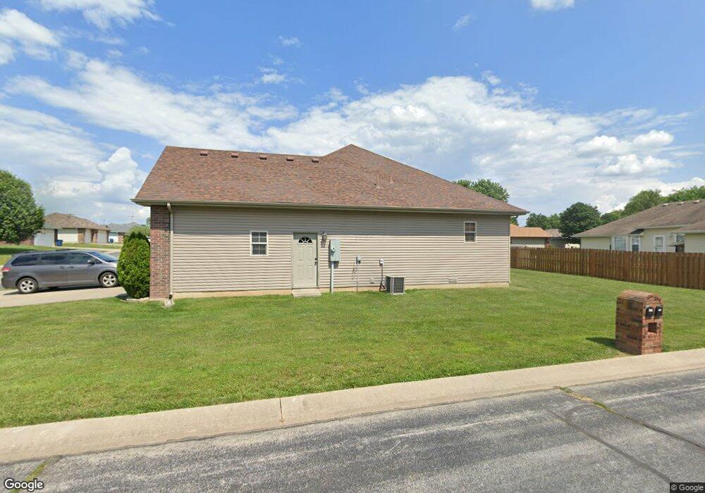
210 Redbud St Sparta, MO 65753
Estimated Value: $250,000 - $270,954
3
Beds
1
Bath
1,880
Sq Ft
$139/Sq Ft
Est. Value
About This Home
This home is located at 210 Redbud St, Sparta, MO 65753 and is currently estimated at $260,739, approximately $138 per square foot. 210 Redbud St is a home with nearby schools including Sparta Elementary School, Sparta Middle School, and Sparta High School.
Ownership History
Date
Name
Owned For
Owner Type
Purchase Details
Closed on
Sep 26, 2025
Sold by
Spies Connie and Spies Joseph
Bought by
Arnold Donald G and Arnold Carol S
Current Estimated Value
Purchase Details
Closed on
Feb 9, 2006
Sold by
Leyland Blake and Leyland Hollie
Bought by
Johnson Erva Lou
Purchase Details
Closed on
Aug 10, 2005
Sold by
Teague Gene and Teague Mary
Bought by
Leyland Blake and Leyland Hollie
Home Financials for this Owner
Home Financials are based on the most recent Mortgage that was taken out on this home.
Original Mortgage
$95,000
Interest Rate
5.61%
Mortgage Type
Construction
Create a Home Valuation Report for This Property
The Home Valuation Report is an in-depth analysis detailing your home's value as well as a comparison with similar homes in the area
Purchase History
| Date | Buyer | Sale Price | Title Company |
|---|---|---|---|
| Arnold Donald G | -- | Meridian Title | |
| Johnson Erva Lou | -- | None Available | |
| Leyland Blake | -- | None Available |
Source: Public Records
Mortgage History
| Date | Status | Borrower | Loan Amount |
|---|---|---|---|
| Previous Owner | Leyland Blake | $95,000 |
Source: Public Records
Tax History
| Year | Tax Paid | Tax Assessment Tax Assessment Total Assessment is a certain percentage of the fair market value that is determined by local assessors to be the total taxable value of land and additions on the property. | Land | Improvement |
|---|---|---|---|---|
| 2025 | $1,776 | $33,460 | -- | -- |
| 2024 | $1,776 | $31,330 | -- | -- |
| 2023 | $1,776 | $31,330 | $0 | $0 |
| 2022 | $1,673 | $29,240 | $0 | $0 |
| 2021 | $1,677 | $29,240 | $0 | $0 |
| 2020 | $1,547 | $26,680 | $0 | $0 |
| 2019 | $1,547 | $26,680 | $0 | $0 |
| 2018 | $1,555 | $26,680 | $0 | $0 |
| 2017 | $1,555 | $26,680 | $0 | $0 |
| 2016 | $1,529 | $26,680 | $0 | $0 |
| 2015 | $1,528 | $26,680 | $26,680 | $0 |
| 2014 | $1,429 | $26,700 | $0 | $0 |
| 2013 | $14 | $26,700 | $0 | $0 |
| 2011 | $14 | $53,400 | $0 | $0 |
Source: Public Records
Map
Nearby Homes
- 338 South Ave
- 332 South Ave
- Tbd Missouri 14
- 000 Missouri 14
- 355 Division St
- 200 Vanilla Bean Rd
- 726 Division St
- Tbd Shortt Ln
- 1814 State Highway 125 S
- 433 Morisset Dr
- Tract 3-R1 Oldfield Rd
- 1928 Oldfield Rd
- 2113 Greene Rd
- 2137 Greene Rd
- 1360 Johnson Rd
- 595 Johns Ford Rd
- 159 Moody Ridge Rd
- 1908 State Highway Jj
- 421 Rochester Rd
- 2211 Reed Rd
Your Personal Tour Guide
Ask me questions while you tour the home.