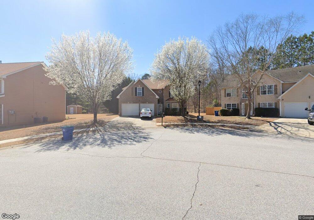
210 Redding Ridge Atlanta, GA 30349
Estimated Value: $341,000 - $360,000
5
Beds
3
Baths
2,953
Sq Ft
$119/Sq Ft
Est. Value
About This Home
This home is located at 210 Redding Ridge, Atlanta, GA 30349 and is currently estimated at $351,667, approximately $119 per square foot. 210 Redding Ridge is a home located in Fulton County with nearby schools including Cliftondale Elementary School, Renaissance Middle School, and Langston Hughes High School.
Ownership History
Date
Name
Owned For
Owner Type
Purchase Details
Closed on
Sep 22, 2010
Sold by
Destin Title & Guaranty Llc
Bought by
Thomas Vilma M
Current Estimated Value
Home Financials for this Owner
Home Financials are based on the most recent Mortgage that was taken out on this home.
Original Mortgage
$93,675
Outstanding Balance
$61,888
Interest Rate
4.45%
Mortgage Type
New Conventional
Estimated Equity
$289,779
Purchase Details
Closed on
May 4, 2010
Sold by
Scott Leon
Bought by
210 Redding Ridge Land Trust
Create a Home Valuation Report for This Property
The Home Valuation Report is an in-depth analysis detailing your home's value as well as a comparison with similar homes in the area
Home Values in the Area
Average Home Value in this Area
Purchase History
| Date | Buyer | Sale Price | Title Company |
|---|---|---|---|
| Thomas Vilma M | -- | -- | |
| Thomas Vilma M | $124,900 | -- | |
| 210 Redding Ridge Land Trust | $75,001 | -- |
Source: Public Records
Mortgage History
| Date | Status | Borrower | Loan Amount |
|---|---|---|---|
| Open | Thomas Vilma M | $93,675 |
Source: Public Records
Tax History Compared to Growth
Tax History
| Year | Tax Paid | Tax Assessment Tax Assessment Total Assessment is a certain percentage of the fair market value that is determined by local assessors to be the total taxable value of land and additions on the property. | Land | Improvement |
|---|---|---|---|---|
| 2025 | $688 | $148,480 | $32,280 | $116,200 |
| 2023 | $4,243 | $150,320 | $33,080 | $117,240 |
| 2022 | $808 | $95,240 | $19,680 | $75,560 |
| 2021 | $795 | $89,760 | $18,120 | $71,640 |
| 2020 | $793 | $88,720 | $17,920 | $70,800 |
| 2019 | $775 | $79,840 | $15,080 | $64,760 |
| 2018 | $921 | $61,760 | $10,960 | $50,800 |
| 2017 | $768 | $51,400 | $10,520 | $40,880 |
| 2016 | $765 | $51,400 | $10,520 | $40,880 |
| 2015 | $1,072 | $51,400 | $10,520 | $40,880 |
| 2014 | $1,447 | $51,400 | $10,520 | $40,880 |
Source: Public Records
Map
Nearby Homes
- 260 Redding Ridge
- 275 Redding Ridge
- 2970 Oxford Rd
- 7198 Glaspie Way
- 2980 Oxford Rd
- 3198 Redwood Run
- 0 W Stubbs Rd Unit (11.4 ACRES)
- 0 W Stubbs Rd Unit 7487198
- 7250 Old Chapel
- 450 Pinevale Ct
- 440 Pinevale Ct
- 315 Amhurst Pkwy
- 7459 Old Chapel
- 7425 Thoreau Cir
- 3185 Highgreen Trail
- 7648 Cole Ln Unit 1C
- 7636 Cole Ln
- 7656 Cole Ln
- 2765 Elkmont Ridge SW
- 220 Redding Ridge
- 3437 Amhurst Pkwy
- 3441 Amhurst Pkwy
- 200 Redding Ridge
- 200 Redding Ridge
- 3445 Amhurst Pkwy Unit 3
- 230 Redding Ridge
- 230 Redding Ridge Unit 230
- 230 Redding Ridge Unit 3
- 230 Redding Ridge
- 235 Redding Ridge
- 0 Redding Ridge Unit 8481215
- 0 Redding Ridge Unit 8678448
- 0 Redding Ridge Unit 8235589
- 0 Redding Ridge Unit 8149703
- 0 Redding Ridge Unit 9028478
- 0 Redding Ridge Unit 7457587
- 0 Redding Ridge Unit 8067528
- 0 Redding Ridge Unit 8400694
- 0 Redding Ridge