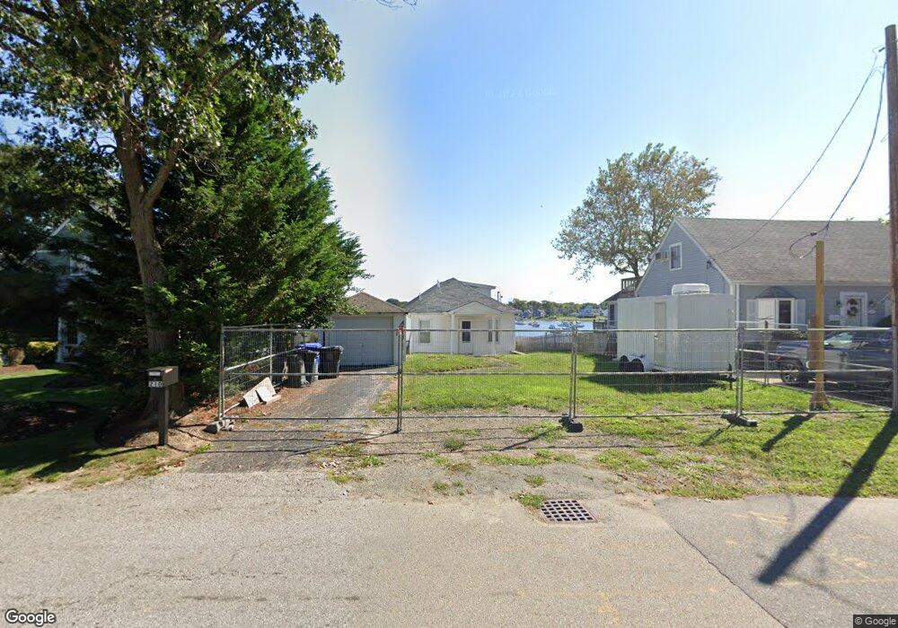
210 Riverside Dr Riverside, RI 02915
Riverside NeighborhoodEstimated Value: $1,116,000 - $1,119,758
2
Beds
1
Bath
1,086
Sq Ft
$1,029/Sq Ft
Est. Value
About This Home
This home is located at 210 Riverside Dr, Riverside, RI 02915 and is currently estimated at $1,117,879, approximately $1,029 per square foot. 210 Riverside Dr is a home located in Providence County with nearby schools including East Providence High School, St Luke Elementary School, and St Mary Academy-Bay View.
Ownership History
Date
Name
Owned For
Owner Type
Purchase Details
Closed on
Sep 5, 2006
Sold by
Decrescenzo Anthony and Decrescenzo Mary
Bought by
Twitchell Kenneth and Twitchell Melanie
Current Estimated Value
Home Financials for this Owner
Home Financials are based on the most recent Mortgage that was taken out on this home.
Original Mortgage
$326,700
Interest Rate
6.83%
Mortgage Type
Purchase Money Mortgage
Purchase Details
Closed on
Oct 19, 2005
Sold by
Santaniello V James
Bought by
Decrescenzo Anthony and Decrescenzo Mary L
Create a Home Valuation Report for This Property
The Home Valuation Report is an in-depth analysis detailing your home's value as well as a comparison with similar homes in the area
Home Values in the Area
Average Home Value in this Area
Purchase History
| Date | Buyer | Sale Price | Title Company |
|---|---|---|---|
| Twitchell Kenneth | $363,000 | -- | |
| Twitchell Kenneth | $363,000 | -- | |
| Decrescenzo Anthony | $294,500 | -- | |
| Decrescenzo Anthony | $294,500 | -- |
Source: Public Records
Mortgage History
| Date | Status | Borrower | Loan Amount |
|---|---|---|---|
| Open | Decrescenzo Anthony | $297,000 | |
| Closed | Decrescenzo Anthony | $333,000 | |
| Closed | Decrescenzo Anthony | $326,700 |
Source: Public Records
Tax History
| Year | Tax Paid | Tax Assessment Tax Assessment Total Assessment is a certain percentage of the fair market value that is determined by local assessors to be the total taxable value of land and additions on the property. | Land | Improvement |
|---|---|---|---|---|
| 2025 | $12,922 | $988,700 | $477,900 | $510,800 |
| 2024 | $6,106 | $398,300 | $398,300 | $0 |
| 2023 | $8,426 | $570,900 | $398,300 | $172,600 |
| 2022 | $8,582 | $392,600 | $279,700 | $112,900 |
| 2021 | $8,441 | $392,600 | $278,000 | $114,600 |
| 2020 | $8,084 | $392,600 | $278,000 | $114,600 |
| 2019 | $7,860 | $392,600 | $278,000 | $114,600 |
| 2018 | $7,550 | $330,000 | $239,300 | $90,700 |
| 2017 | $7,382 | $330,000 | $239,300 | $90,700 |
| 2016 | $8,254 | $370,800 | $265,800 | $105,000 |
| 2015 | $5,783 | $252,000 | $169,600 | $82,400 |
| 2014 | $5,783 | $252,000 | $169,600 | $82,400 |
Source: Public Records
Map
Nearby Homes
- 214 Riverside Dr
- 206 Riverside Dr
- 218 Riverside Dr
- 200 Riverside Dr
- 209 Riverside Dr
- 195 Riverside Dr
- 220 Riverside Dr
- 10 Myra Ave
- 15 Edna Ave
- 9 Myra Ave
- 224 Riverside Dr
- 194 Riverside Dr
- 199 Riverside Dr
- 4 Myra Ave
- 186 Riverside Dr
- 1076 Bullocks Point Ave
- 1080 Bullocks Point Ave
- 5 Edna Ave
- 1096 Bullocks Point Ave
- 18 Edna Ave
Your Personal Tour Guide
Ask me questions while you tour the home.