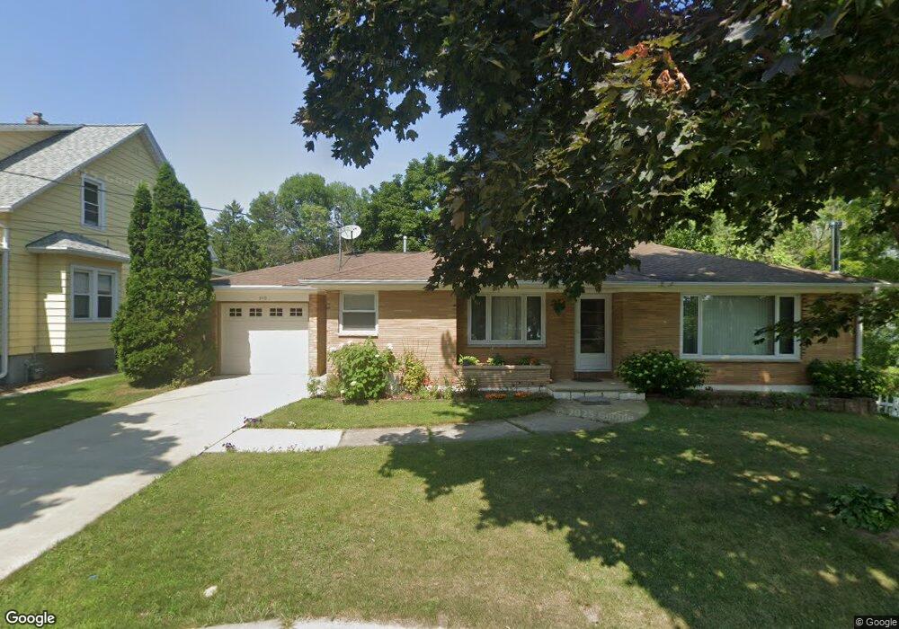
210 Riverview Ave de Pere, WI 54115
Estimated Value: $251,000 - $333,286
3
Beds
1
Bath
1,264
Sq Ft
$234/Sq Ft
Est. Value
About This Home
This home is located at 210 Riverview Ave, de Pere, WI 54115 and is currently estimated at $296,072, approximately $234 per square foot. 210 Riverview Ave is a home located in Brown County with nearby schools including Westwood Elementary School, West De Pere Middle School, and West De Pere High School.
Ownership History
Date
Name
Owned For
Owner Type
Purchase Details
Closed on
Sep 28, 2005
Sold by
Lieuwen John E and Lieuwen Alvira
Bought by
Drake Darrell D and Drake Julia R
Current Estimated Value
Home Financials for this Owner
Home Financials are based on the most recent Mortgage that was taken out on this home.
Original Mortgage
$198,000
Outstanding Balance
$104,236
Interest Rate
5.5%
Mortgage Type
Fannie Mae Freddie Mac
Estimated Equity
$191,836
Create a Home Valuation Report for This Property
The Home Valuation Report is an in-depth analysis detailing your home's value as well as a comparison with similar homes in the area
Home Values in the Area
Average Home Value in this Area
Purchase History
| Date | Buyer | Sale Price | Title Company |
|---|---|---|---|
| Drake Darrell D | $220,000 | Bay Title & Abstract |
Source: Public Records
Mortgage History
| Date | Status | Borrower | Loan Amount |
|---|---|---|---|
| Open | Drake Darrell D | $198,000 |
Source: Public Records
Tax History
| Year | Tax Paid | Tax Assessment Tax Assessment Total Assessment is a certain percentage of the fair market value that is determined by local assessors to be the total taxable value of land and additions on the property. | Land | Improvement |
|---|---|---|---|---|
| 2024 | $4,584 | $306,000 | $192,000 | $114,000 |
| 2023 | $4,609 | $296,500 | $192,000 | $104,500 |
| 2022 | $4,556 | $262,900 | $158,400 | $104,500 |
| 2021 | $4,486 | $236,500 | $132,000 | $104,500 |
| 2020 | $4,762 | $236,500 | $132,000 | $104,500 |
| 2019 | $4,501 | $224,500 | $120,000 | $104,500 |
| 2018 | $4,440 | $215,000 | $120,000 | $95,000 |
| 2017 | $4,278 | $203,000 | $108,000 | $95,000 |
| 2016 | $4,307 | $203,000 | $108,000 | $95,000 |
| 2015 | $4,221 | $194,800 | $108,000 | $86,800 |
| 2014 | $4,223 | $194,800 | $108,000 | $86,800 |
| 2013 | $4,223 | $194,800 | $108,000 | $86,800 |
Source: Public Records
Map
Nearby Homes
- 1109 S 6th St
- 555 Main Ave Unit 111
- 555 Main Ave Unit 206
- 555 Main Ave Unit 113
- 826 Virginia Dr
- 801 S Erie St
- 978 Saint Anthony Dr Unit 2
- 1006 Westwood Dr
- 363 Battery Ave
- 389 Willie Mays Cir
- 399 Battery Ave
- 400 Battery Ave
- 1410 S 7th St
- 1509 S 7th St
- 632 Suburban Dr
- 1004 Gulfstream Ct
- 412 Fort Howard Ave
- 119 S Ontario St
- 318 S Webster Ave
- 1861 Chicago St
- 216 Riverview Ave
- 205 Pleasant Place Unit 2
- 201 Pleasant Place Unit 1
- 215 Pleasant Place
- 220 Riverview Ave
- 217 Pleasant Place
- 213 Riverview Ave
- 221 Riverview Ave
- 717 3rd St
- 715 Third St
- 707 3rd St
- 803 Third St
- 901 Memory Ln
- 807 3rd St
- 701 Third St
- 222 Pleasant Place
- 809 3rd St
- 909 Memory Ln
- 718 Third St
- 813 Third St
Your Personal Tour Guide
Ask me questions while you tour the home.