210 Roanoke Dr Unit 75 Kill Devil Hills, NC 27948
Colington NeighborhoodEstimated Value: $475,353 - $592,000
3
Beds
4
Baths
1,835
Sq Ft
$293/Sq Ft
Est. Value
About This Home
This home is located at 210 Roanoke Dr Unit 75, Kill Devil Hills, NC 27948 and is currently estimated at $537,838, approximately $293 per square foot. 210 Roanoke Dr Unit 75 is a home located in Dare County with nearby schools including Nags Head Elementary School, First Flight Middle School, and First Flight High School.
Ownership History
Date
Name
Owned For
Owner Type
Purchase Details
Closed on
Apr 13, 2021
Sold by
Bryant Linwood Carroll and Bryant Evelyn Pope
Bought by
Bryant Linwood Carroll and Bryant Evelyn Pope
Current Estimated Value
Purchase Details
Closed on
Aug 27, 2010
Sold by
Gateway Bank & Trust Company
Bought by
Bryant Linwood Carroll and Bryant Evelyn Pope
Purchase Details
Closed on
Apr 27, 2010
Sold by
Peterson Tammy E and Peterson Matthew A
Bought by
Gateway Bank & Trust Company
Create a Home Valuation Report for This Property
The Home Valuation Report is an in-depth analysis detailing your home's value as well as a comparison with similar homes in the area
Home Values in the Area
Average Home Value in this Area
Purchase History
| Date | Buyer | Sale Price | Title Company |
|---|---|---|---|
| Bryant Linwood Carroll | -- | None Available | |
| Bryant Linwood Carroll | $45,000 | None Available | |
| Gateway Bank & Trust Company | $39,600 | None Available |
Source: Public Records
Tax History
| Year | Tax Paid | Tax Assessment Tax Assessment Total Assessment is a certain percentage of the fair market value that is determined by local assessors to be the total taxable value of land and additions on the property. | Land | Improvement |
|---|---|---|---|---|
| 2025 | $525 | $482,100 | $83,400 | $398,700 |
| 2024 | $506 | $323,600 | $43,200 | $280,400 |
| 2023 | $1,011 | $323,600 | $43,200 | $280,400 |
| 2022 | $1,990 | $323,600 | $43,200 | $280,400 |
| 2021 | $458 | $323,600 | $43,200 | $280,400 |
| 2020 | $1,953 | $323,600 | $43,200 | $280,400 |
| 2019 | $1,654 | $232,300 | $38,500 | $193,800 |
| 2018 | $1,154 | $232,300 | $38,500 | $193,800 |
| 2017 | $1,654 | $232,300 | $38,500 | $193,800 |
| 2016 | $1,561 | $232,300 | $38,500 | $193,800 |
| 2014 | $1,515 | $232,300 | $38,500 | $193,800 |
Source: Public Records
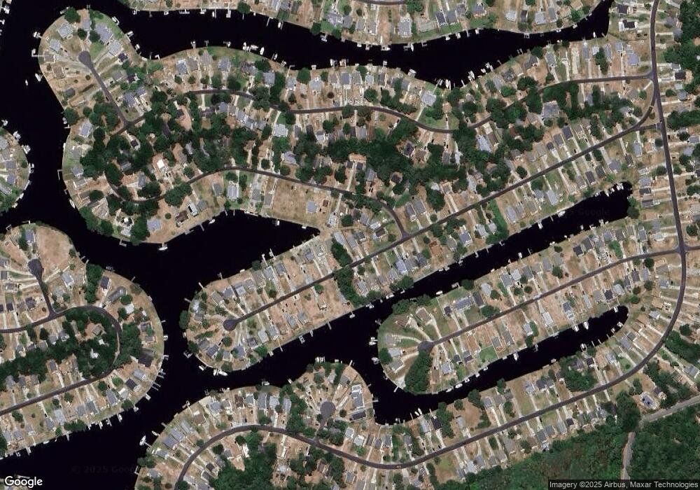
Map
Nearby Homes
- 139 Roanoke Dr Unit 30
- 1101 Harbour View Dr Unit Lot 46
- 121 Roanoke Dr Unit Lot 39
- 120 Roanoke Dr Unit lot 105
- 456 Harbour View Dr Unit Lot 106
- 451 Harbour View Dr Unit Lot 123
- 104 King William Ct Unit Lot 39
- 538 Harbour View Dr Unit 61
- 422 Harbour View Dr Unit Lot 91
- 209 Old Holly Ln Unit Lot 46
- 119 Craigy Ct Unit lot 61R
- 1408 Harbour View Dr Unit Lot20&PT19
- 113 Old Holly Ln Unit Lot 68
- 110 Lenwood Ct Unit 45
- 125 Tower Ln Unit 7
- 125 Tower Ln
- 109 Harbour View Dr Unit Lot48
- 103 Eagle Dr Unit Lot 21
- 708 Harbour View Dr Unit Lot 106
- 204 Soundview Dr Unit Lot 74
- 208 Roanoke Dr
- 212 Roanoke Dr
- 214 Roanoke Dr Unit 77
- 214 Roanoke Dr
- 370 Sir Chandler Dr
- 374 Sir Chandler Dr
- 376 Sir Chandler Dr
- 378 Sir Chandler Dr
- 366 Sir Chandler Dr
- 216 Roanoke Dr
- 364 Sir Chandler Dr
- 218 Roanoke Dr
- 207 Roanoke Dr Unit 23
- 207 Roanoke Dr
- 110 Sir Chandler Dr Unit Lot: 46
- 110 Sir Chandler Dr
- 209 Roanoke Dr
- 211 Roanoke Dr
- 205 Roanoke Dr
- 360 Sir Chandler Dr
Your Personal Tour Guide
Ask me questions while you tour the home.