210 S 450 W Boulder, UT 84716
Estimated Value: $178,122 - $702,000
Studio
--
Bath
550
Sq Ft
$899/Sq Ft
Est. Value
About This Home
This home is located at 210 S 450 W, Boulder, UT 84716 and is currently estimated at $494,374, approximately $898 per square foot. 210 S 450 W is a home.
Create a Home Valuation Report for This Property
The Home Valuation Report is an in-depth analysis detailing your home's value as well as a comparison with similar homes in the area
Tax History
| Year | Tax Paid | Tax Assessment Tax Assessment Total Assessment is a certain percentage of the fair market value that is determined by local assessors to be the total taxable value of land and additions on the property. | Land | Improvement |
|---|---|---|---|---|
| 2025 | $777 | $127,597 | $44,210 | $83,387 |
| 2024 | $610 | $104,820 | $34,042 | $70,778 |
| 2023 | $554 | $95,489 | $30,950 | $64,539 |
| 2022 | $444 | $65,000 | $29,000 | $36,000 |
| 2021 | $504 | $65,000 | $29,000 | $36,000 |
| 2020 | $452 | $65,000 | $29,000 | $36,000 |
| 2019 | $456 | $65,000 | $29,000 | $36,000 |
| 2018 | $443 | $46,460 | $0 | $0 |
| 2017 | $382 | $46,460 | $0 | $0 |
| 2016 | $382 | $46,460 | $0 | $0 |
| 2015 | $395 | $46,460 | $0 | $0 |
| 2012 | $395 | $46,480 | $0 | $0 |
Source: Public Records
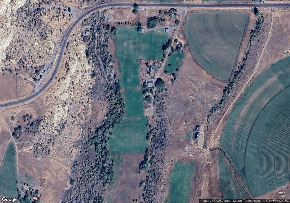
Map
Nearby Homes
- 2405 S Lower Boulder Rd
- 2606 S Lower Boulder Rd
- 1690 S Lower Boulder Rd
- 2277 E Broken Branch West Dr Unit 28
- 1049 Utah 12
- 1345 S 1070 E
- 316 N Pinion Branch Dr N Unit 12B
- 1061 E Heritage Ln
- 416 E Main St
- 355 Utah 12
- 0 Parcel 11-002-0189 Highway 12
- 0 Parcel 11-0024-0189 Unit 25-264542
- 385 N 200 W
- 135 N 100 W
- 20 S 200 W
- 533 W 325 N
- 370 W 100 N
- 579 W 325 N
- 355 W Highway 12
- 585 S Center St
- 160 S 450 W
- 135 S 450 St W
- 95 S 450 W
- 245 N Highway 12
- 50 S 450 W
- 831 W Utah State Highway 12
- 10 S 450 W
- 840 W Utah State Highway 12
- 905 N Highway 12
- 325 N Highway 12
- 1.07 acres Tax#02-0005-0255
- 710 N Highway 12
- 640 N Highway 12
- 410 N Highway 12
- 959 N Highway 12
- 240 N Highway 12
- 105 N Highway 12
- 169 N Flake Ranch Rd
- 90 N Highway 12
- 75 N Highway 12
Your Personal Tour Guide
Ask me questions while you tour the home.