210 S Broadway St Lake Orion, MI 48362
Estimated Value: $551,000 - $1,105,396
4
Beds
5
Baths
3,573
Sq Ft
$245/Sq Ft
Est. Value
About This Home
This home is located at 210 S Broadway St, Lake Orion, MI 48362 and is currently estimated at $876,349, approximately $245 per square foot. 210 S Broadway St is a home located in Oakland County with nearby schools including Orion Oaks Elementary School, Oakview Middle School, and Lake Orion Community High School.
Ownership History
Date
Name
Owned For
Owner Type
Purchase Details
Closed on
Aug 16, 2022
Sold by
Doane and Linda
Bought by
Doane Thomas and Doane Linda
Current Estimated Value
Home Financials for this Owner
Home Financials are based on the most recent Mortgage that was taken out on this home.
Original Mortgage
$290,000
Outstanding Balance
$245,472
Interest Rate
4.59%
Estimated Equity
$630,877
Purchase Details
Closed on
Mar 20, 2018
Sold by
Campbell Craig
Bought by
Doane Thomas and Doane Linda
Create a Home Valuation Report for This Property
The Home Valuation Report is an in-depth analysis detailing your home's value as well as a comparison with similar homes in the area
Home Values in the Area
Average Home Value in this Area
Purchase History
| Date | Buyer | Sale Price | Title Company |
|---|---|---|---|
| Doane Thomas | -- | -- | |
| Doane Thomas | $372,500 | None Available |
Source: Public Records
Mortgage History
| Date | Status | Borrower | Loan Amount |
|---|---|---|---|
| Open | Doane Thomas | $290,000 |
Source: Public Records
Tax History Compared to Growth
Tax History
| Year | Tax Paid | Tax Assessment Tax Assessment Total Assessment is a certain percentage of the fair market value that is determined by local assessors to be the total taxable value of land and additions on the property. | Land | Improvement |
|---|---|---|---|---|
| 2024 | $14,855 | $473,370 | $0 | $0 |
| 2023 | $14,180 | $430,750 | $0 | $0 |
| 2022 | $16,580 | $368,210 | $0 | $0 |
| 2021 | $16,139 | $362,760 | $0 | $0 |
| 2020 | $13,315 | $359,500 | $0 | $0 |
| 2019 | $3,148 | $63,010 | $0 | $0 |
| 2018 | $6,362 | $153,420 | $0 | $0 |
| 2017 | $6,678 | $153,420 | $0 | $0 |
| 2016 | $6,071 | $137,260 | $0 | $0 |
| 2015 | -- | $129,590 | $0 | $0 |
| 2014 | -- | $117,030 | $0 | $0 |
| 2011 | -- | $94,550 | $0 | $0 |
Source: Public Records
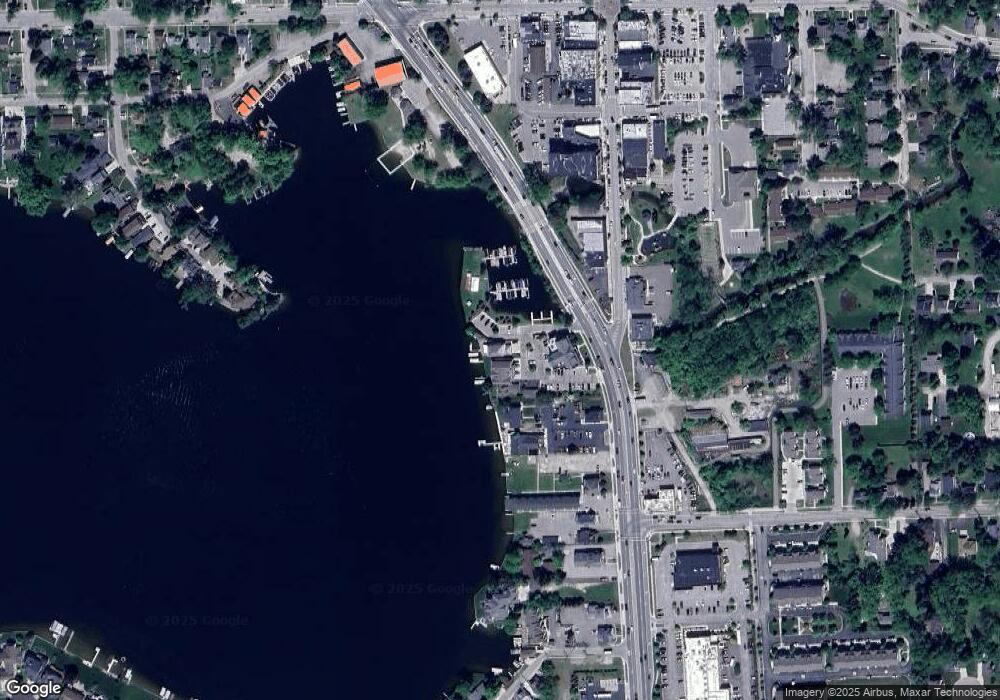
Map
Nearby Homes
- 328 S Broadway St
- 160 Darling Dr
- 229 W Flint St
- 34 N Andrews St
- 225 E Shadbolt St
- 332 Newton Dr
- 418 Converse Ct
- 00 Heights Rd
- 471 Algene St
- 0000 Garden Dr
- 0 Susan Marie St
- 00 Indianwood Rd
- 285 Franklin Wright Blvd
- 293 Clairemont Dr
- 411 Heights Rd
- 305 Goldengate St
- 769 Markdale St
- 599 Westpointe Ct
- 481 Heights Rd
- 800 Kimberly
- 210 S Broadway St
- 214 S Broadway St Unit 120
- 214 S Broadway St Unit 1
- 214 S Broadway St Unit 2
- 214 S Broadway St Unit 4
- 214 S Broadway St Unit 3
- 214 S Broadway St Unit 115
- 214 S Broadway St Unit 110
- 214 S Broadway St Unit 300
- 214 S Broadway St
- 214 S Broadway St
- 214 S Broadway St Unit 200
- 214 S Broadway St Unit 220
- 222 S Broadway St Unit 1
- 220 S Broadway St Unit 2
- 218 S Broadway St Unit 3
- 218 S Broadway St
- 220 S Broadway St
- 226 S Broadway St
- 232 S Broadway St