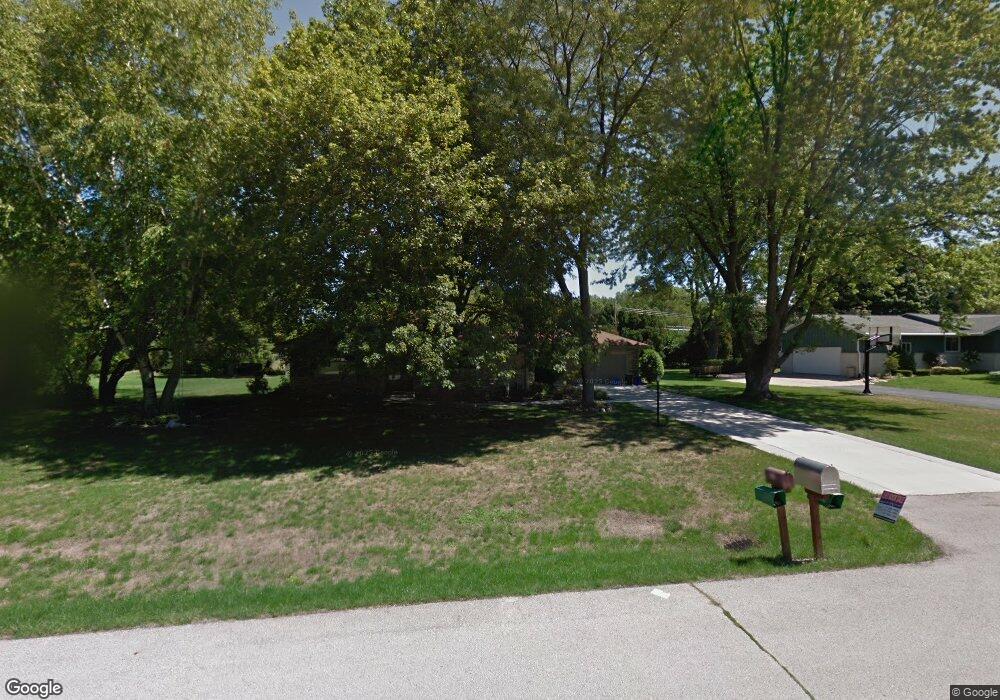
210 S Rolland Rd Brookfield, WI 53005
Estimated Value: $381,000 - $432,000
2
Beds
3
Baths
1,609
Sq Ft
$255/Sq Ft
Est. Value
About This Home
This home is located at 210 S Rolland Rd, Brookfield, WI 53005 and is currently estimated at $410,124, approximately $254 per square foot. 210 S Rolland Rd is a home located in Waukesha County with nearby schools including Swanson Elementary School, Wisconsin Hills Middle School, and Brookfield Central High School.
Ownership History
Date
Name
Owned For
Owner Type
Purchase Details
Closed on
Sep 27, 2001
Sold by
Heun Mary A
Bought by
Roberts David and Roberts Louise
Current Estimated Value
Home Financials for this Owner
Home Financials are based on the most recent Mortgage that was taken out on this home.
Original Mortgage
$130,000
Outstanding Balance
$51,258
Interest Rate
6.99%
Mortgage Type
Purchase Money Mortgage
Estimated Equity
$358,866
Create a Home Valuation Report for This Property
The Home Valuation Report is an in-depth analysis detailing your home's value as well as a comparison with similar homes in the area
Home Values in the Area
Average Home Value in this Area
Purchase History
| Date | Buyer | Sale Price | Title Company |
|---|---|---|---|
| Roberts David | $172,000 | -- |
Source: Public Records
Mortgage History
| Date | Status | Borrower | Loan Amount |
|---|---|---|---|
| Open | Roberts David | $130,000 |
Source: Public Records
Tax History Compared to Growth
Tax History
| Year | Tax Paid | Tax Assessment Tax Assessment Total Assessment is a certain percentage of the fair market value that is determined by local assessors to be the total taxable value of land and additions on the property. | Land | Improvement |
|---|---|---|---|---|
| 2024 | $3,873 | $353,200 | $125,000 | $228,200 |
| 2023 | $3,868 | $353,200 | $125,000 | $228,200 |
| 2022 | $3,949 | $281,800 | $110,000 | $171,800 |
| 2021 | $4,177 | $281,800 | $110,000 | $171,800 |
| 2020 | $4,379 | $281,800 | $110,000 | $171,800 |
| 2019 | $4,198 | $281,800 | $110,000 | $171,800 |
| 2018 | $3,583 | $235,300 | $110,000 | $125,300 |
| 2017 | $3,599 | $235,300 | $110,000 | $125,300 |
| 2016 | $3,651 | $235,300 | $110,000 | $125,300 |
| 2015 | $3,637 | $235,300 | $110,000 | $125,300 |
| 2014 | $3,772 | $235,300 | $110,000 | $125,300 |
| 2013 | $3,772 | $235,300 | $110,000 | $125,300 |
Source: Public Records
Map
Nearby Homes
- 16645 Tanglewood Dr
- 730 Lois Ave
- 17525 Tremont St
- 17460 Burnet St
- 17020 Lake Rd Unit A
- 1135 Forest Ln
- 920 Oakwood Ln Unit B
- 1035 Oakwood Ln
- 845 Lake Rd Unit D
- 1255 Apple Tree Ln
- 18290 Prairie Falcon Ln
- 18107 W Wisconsin Ave Unit 201
- 18575 Brookfield Lake Dr Unit 61
- 1421 S 168th St
- 18625 Emerald Cir Unit G
- 18740 Emerald Cir Unit E
- 18525 Emerald Cir
- 18415 W Wisconsin Ave Unit 18415
- 18705 Follett Dr
- 18600 Brookfield Lake Dr Unit 53
- 180 S Rolland Rd
- 240 S Rolland Rd
- 225 Joanne Dr
- 185 Joanne Dr
- 205 S Rolland Rd
- 235 S Rolland Rd
- 150 S Rolland Rd
- 16870 Deer Park Dr
- 175 S Rolland Rd
- 16950 Deer Park Dr
- 155 Joanne Dr
- 265 S Rolland Rd
- 210 Betty Ln
- 210 Joanne Dr
- 230 Betty Ln
- 145 S Rolland Rd
- 180 Joanne Dr
- 160 Betty Ln
- 100 S Rolland Rd
- 250 Joanne Dr