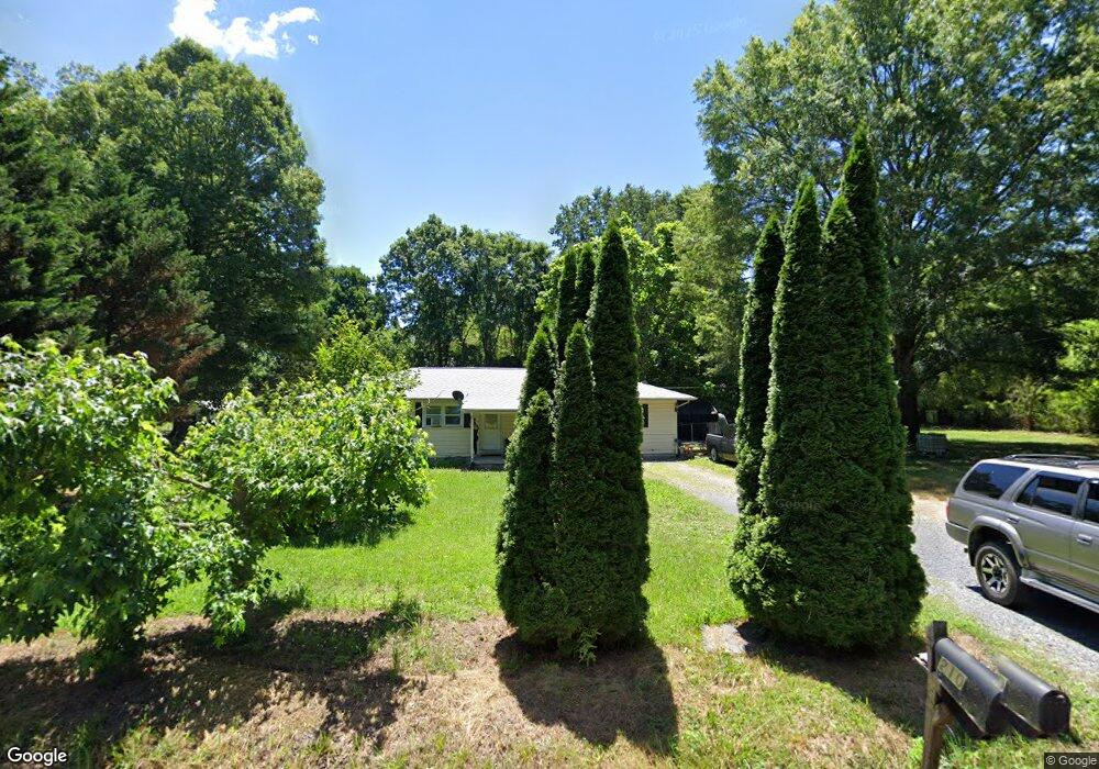
210 Shady Dr Dalton, GA 30720
Estimated Value: $161,733 - $203,000
4
Beds
2
Baths
1,296
Sq Ft
$137/Sq Ft
Est. Value
About This Home
This home is located at 210 Shady Dr, Dalton, GA 30720 and is currently estimated at $177,683, approximately $137 per square foot. 210 Shady Dr is a home located in Whitfield County with nearby schools including Antioch Elementary School, Eastbrook Middle School, and Southeast Whitfield County High School.
Ownership History
Date
Name
Owned For
Owner Type
Purchase Details
Closed on
Mar 12, 2010
Sold by
Federal Home Loan Mortgage Corporation
Bought by
Hurtado Nunez Heriberto
Current Estimated Value
Purchase Details
Closed on
Apr 25, 2006
Sold by
Medrano Alejandro
Bought by
Pascual Juan Diego
Home Financials for this Owner
Home Financials are based on the most recent Mortgage that was taken out on this home.
Original Mortgage
$104,760
Interest Rate
6.33%
Mortgage Type
New Conventional
Purchase Details
Closed on
Jun 30, 2004
Sold by
Medrano Alejandro
Bought by
Medrano Esmeralda and Medrano Alejandro
Purchase Details
Closed on
Mar 2, 2000
Sold by
Corbin Michael A
Bought by
Medrano Alejandro
Purchase Details
Closed on
Apr 1, 1999
Bought by
Corbin Michael A
Create a Home Valuation Report for This Property
The Home Valuation Report is an in-depth analysis detailing your home's value as well as a comparison with similar homes in the area
Home Values in the Area
Average Home Value in this Area
Purchase History
| Date | Buyer | Sale Price | Title Company |
|---|---|---|---|
| Hurtado Nunez Heriberto | $52,000 | -- | |
| Pascual Juan Diego | $108,000 | -- | |
| Medrano Esmeralda | -- | -- | |
| Medrano Alejandro | $79,900 | -- | |
| Corbin Michael A | $32,500 | -- |
Source: Public Records
Mortgage History
| Date | Status | Borrower | Loan Amount |
|---|---|---|---|
| Previous Owner | Pascual Juan Diego | $104,760 | |
| Previous Owner | Pascual Juan Diego | $3,240 |
Source: Public Records
Tax History Compared to Growth
Tax History
| Year | Tax Paid | Tax Assessment Tax Assessment Total Assessment is a certain percentage of the fair market value that is determined by local assessors to be the total taxable value of land and additions on the property. | Land | Improvement |
|---|---|---|---|---|
| 2024 | $975 | $64,141 | $7,000 | $57,141 |
| 2023 | $975 | $39,545 | $3,400 | $36,145 |
| 2022 | $809 | $27,442 | $3,400 | $24,042 |
| 2021 | $810 | $27,442 | $3,400 | $24,042 |
| 2020 | $837 | $27,442 | $3,400 | $24,042 |
| 2019 | $851 | $27,442 | $3,400 | $24,042 |
| 2018 | $865 | $27,442 | $3,400 | $24,042 |
| 2017 | $865 | $27,442 | $3,400 | $24,042 |
| 2016 | $777 | $25,636 | $3,675 | $21,961 |
| 2014 | $690 | $25,636 | $3,675 | $21,961 |
| 2013 | -- | $25,636 | $3,675 | $21,960 |
Source: Public Records
Map
Nearby Homes
- 144 Lillian Dr
- 303 Shady Dr
- 107 Green Rd
- 120 Foothill Dr
- 107 Hill Cir
- 506 Lavista Rd
- 512 Dalewood Dr
- 514 Callahan Rd SE
- 511 Lesley Dr
- 719 Cavender Rd SE
- 3061 Five Springs Rd SE
- 805 Willeve Dr
- 809 Willeve Dr
- 0 Shannon Dr Unit 131263
- 315 Summit Cir SW
- 807 Peek Rd SE
- 6 Harrison Ln
- 5 Harrison Ln
- 4 Harrison Ln
- 3016 E Brookhaven Cir