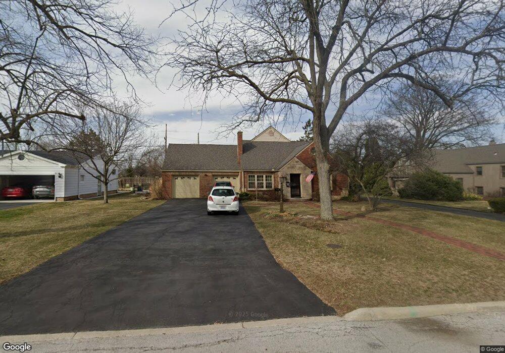
210 Sherman Dr Findlay, OH 45840
Estimated Value: $274,039 - $306,000
3
Beds
1
Bath
2,002
Sq Ft
$145/Sq Ft
Est. Value
About This Home
This home is located at 210 Sherman Dr, Findlay, OH 45840 and is currently estimated at $291,260, approximately $145 per square foot. 210 Sherman Dr is a home located in Hancock County with nearby schools including Jefferson Elementary School, Chamberlin Hill Elementary School, and Donnell Middle School.
Ownership History
Date
Name
Owned For
Owner Type
Purchase Details
Closed on
Oct 15, 2010
Sold by
Wonderly Richard L
Bought by
Scasny Robert A
Current Estimated Value
Purchase Details
Closed on
Mar 2, 1987
Bought by
Scasney Robert A and Scasney Lauren
Create a Home Valuation Report for This Property
The Home Valuation Report is an in-depth analysis detailing your home's value as well as a comparison with similar homes in the area
Home Values in the Area
Average Home Value in this Area
Purchase History
| Date | Buyer | Sale Price | Title Company |
|---|---|---|---|
| Scasny Robert A | $21,266 | Golden Key Title Agency | |
| Scasney Robert A | $67,000 | -- |
Source: Public Records
Tax History
| Year | Tax Paid | Tax Assessment Tax Assessment Total Assessment is a certain percentage of the fair market value that is determined by local assessors to be the total taxable value of land and additions on the property. | Land | Improvement |
|---|---|---|---|---|
| 2024 | $2,979 | $83,860 | $9,940 | $73,920 |
| 2023 | $2,984 | $83,860 | $9,940 | $73,920 |
| 2022 | $2,973 | $83,860 | $9,940 | $73,920 |
| 2021 | $2,611 | $64,150 | $9,920 | $54,230 |
| 2020 | $2,611 | $64,150 | $9,920 | $54,230 |
| 2019 | $2,558 | $64,150 | $9,920 | $54,230 |
| 2018 | $2,427 | $55,790 | $8,630 | $47,160 |
| 2017 | $1,213 | $55,790 | $8,630 | $47,160 |
| 2016 | $2,390 | $55,790 | $8,630 | $47,160 |
| 2015 | $1,990 | $45,500 | $8,630 | $36,870 |
| 2014 | $1,990 | $45,500 | $8,630 | $36,870 |
| 2012 | $2,411 | $54,720 | $8,630 | $46,090 |
Source: Public Records
Map
Nearby Homes
- 216 Sherman Dr
- 202 Sherman Dr
- 1517 Parkway Dr
- 1520 Grant Blvd
- 130 Sherman Dr
- 1523 Parkway Dr
- 224 Sherman Dr
- 1532 Grant Blvd
- 1527 Parkway Dr
- 1522 Parkway Dr
- 118 Sherman Dr
- 1410 Douglas Pkwy
- 1536 Grant Blvd
- 1548 Parkway Dr
- 1601 Parkway Dr
- 1527 Grant Blvd
- 1602 Grant Blvd
- 1605 Parkway Dr
- 1535 Grant Blvd
- 1516 S Main St
Your Personal Tour Guide
Ask me questions while you tour the home.