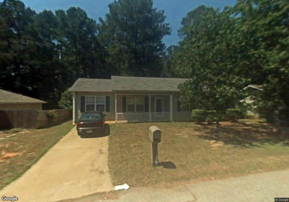
210 Sherwood Loop McDonough, GA 30253
Estimated Value: $196,000 - $222,000
4
Beds
2
Baths
1,475
Sq Ft
$146/Sq Ft
Est. Value
About This Home
This home is located at 210 Sherwood Loop, McDonough, GA 30253 and is currently estimated at $214,849, approximately $145 per square foot. 210 Sherwood Loop is a home located in Henry County with nearby schools including Oakland Elementary School, Eagle's Landing Middle School, and Eagle's Landing High School.
Ownership History
Date
Name
Owned For
Owner Type
Purchase Details
Closed on
Sep 9, 2002
Sold by
Johnson Pamela
Bought by
Brown Beverly A
Current Estimated Value
Home Financials for this Owner
Home Financials are based on the most recent Mortgage that was taken out on this home.
Original Mortgage
$91,756
Outstanding Balance
$37,881
Interest Rate
6.21%
Mortgage Type
FHA
Estimated Equity
$176,968
Purchase Details
Closed on
Apr 1, 1999
Sold by
Crowther David G and Crowther Patricia G
Bought by
Johnson Pamela
Home Financials for this Owner
Home Financials are based on the most recent Mortgage that was taken out on this home.
Original Mortgage
$70,963
Interest Rate
6.85%
Mortgage Type
New Conventional
Create a Home Valuation Report for This Property
The Home Valuation Report is an in-depth analysis detailing your home's value as well as a comparison with similar homes in the area
Home Values in the Area
Average Home Value in this Area
Purchase History
| Date | Buyer | Sale Price | Title Company |
|---|---|---|---|
| Brown Beverly A | $93,200 | -- | |
| Johnson Pamela | $71,000 | -- |
Source: Public Records
Mortgage History
| Date | Status | Borrower | Loan Amount |
|---|---|---|---|
| Open | Brown Beverly A | $91,756 | |
| Previous Owner | Johnson Pamela | $70,963 |
Source: Public Records
Tax History Compared to Growth
Tax History
| Year | Tax Paid | Tax Assessment Tax Assessment Total Assessment is a certain percentage of the fair market value that is determined by local assessors to be the total taxable value of land and additions on the property. | Land | Improvement |
|---|---|---|---|---|
| 2025 | $521 | $91,680 | $12,000 | $79,680 |
| 2024 | $521 | $77,480 | $8,000 | $69,480 |
| 2023 | $305 | $71,760 | $6,000 | $65,760 |
| 2022 | $450 | $56,040 | $6,000 | $50,040 |
| 2021 | $450 | $44,200 | $6,000 | $38,200 |
| 2020 | $450 | $41,080 | $6,000 | $35,080 |
| 2019 | $354 | $32,040 | $4,000 | $28,040 |
| 2018 | $295 | $28,040 | $4,000 | $24,040 |
| 2016 | $263 | $25,920 | $4,000 | $21,920 |
| 2015 | $254 | $24,520 | $4,000 | $20,520 |
| 2014 | $126 | $18,480 | $4,000 | $14,480 |
Source: Public Records
Map
Nearby Homes
- 50 Silver Tip Ct
- 715 Quail Cir
- 161 Swindon Dr
- 0 0 Unit 7692876
- 0 0 Unit 10658203
- 150 Spyglass Cir
- 300 Ashton Place
- 3324 Baylor Cir
- 645 Stadler Pointe Unit 75
- Aster Plan at Kendall Grove - Single Family Homes
- Splendor Plan at Kendall Grove - Single Family Homes
- Radiance Plan at Kendall Grove - Single Family Homes
- Echo Plan at Kendall Grove - Townhomes
- Beacon Plan at Kendall Grove - Single Family Homes
- Triton Plan at Kendall Grove - Townhomes
- Spectra Plan at Kendall Grove - Single Family Homes
- 235 London Dr
- 361 Navigator Ln
- 352 Navigator Ln
- 348 Navigator Ln
- 208 Sherwood Loop
- 212 Sherwood Loop
- 214 Sherwood Loop
- 120 W Independence Cir
- 101 Fir Dr
- 213 Sherwood Loop
- 216 Sherwood Loop
- 103 Fir Dr
- 118 W Independence Cir
- 100 Fir Dr
- 215 Sherwood Loop
- 202 Sherwood Loop
- 104 Fir Dr
- 50 Silver Tip Ct Unit 106
- 105 Fir Dr
- 116 W Independence Cir
- 360 Toffee Ct
- 54 Silver Tip Ct
- 10 Pinecone Ct
- 365 Toffee Ct