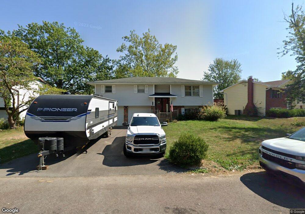
210 Snead Dr Columbia, MO 65202
Estimated Value: $203,000 - $245,300
4
Beds
3
Baths
1,765
Sq Ft
$123/Sq Ft
Est. Value
About This Home
This home is located at 210 Snead Dr, Columbia, MO 65202 and is currently estimated at $217,100, approximately $123 per square foot. 210 Snead Dr is a home located in Boone County with nearby schools including Eliot Battle Elementary School, John B. Lange Middle School, and Muriel W. Battle High School.
Ownership History
Date
Name
Owned For
Owner Type
Purchase Details
Closed on
Jan 31, 2007
Sold by
Hawkins Calvin and Hawkins Norma
Bought by
Crites Monroe and Crites Allisha
Current Estimated Value
Home Financials for this Owner
Home Financials are based on the most recent Mortgage that was taken out on this home.
Original Mortgage
$76,000
Outstanding Balance
$51,356
Interest Rate
8.6%
Mortgage Type
Adjustable Rate Mortgage/ARM
Estimated Equity
$165,744
Create a Home Valuation Report for This Property
The Home Valuation Report is an in-depth analysis detailing your home's value as well as a comparison with similar homes in the area
Purchase History
| Date | Buyer | Sale Price | Title Company |
|---|---|---|---|
| Crites Monroe | -- | None Available |
Source: Public Records
Mortgage History
| Date | Status | Borrower | Loan Amount |
|---|---|---|---|
| Open | Crites Monroe | $76,000 |
Source: Public Records
Tax History
| Year | Tax Paid | Tax Assessment Tax Assessment Total Assessment is a certain percentage of the fair market value that is determined by local assessors to be the total taxable value of land and additions on the property. | Land | Improvement |
|---|---|---|---|---|
| 2025 | $1,307 | $18,582 | $2,850 | $15,732 |
| 2024 | $1,344 | $18,582 | $2,850 | $15,732 |
| 2023 | $1,332 | $18,582 | $2,850 | $15,732 |
| 2022 | $1,331 | $18,582 | $2,850 | $15,732 |
| 2021 | $1,333 | $18,582 | $2,850 | $15,732 |
| 2020 | $1,309 | $17,214 | $2,850 | $14,364 |
| 2019 | $1,309 | $17,214 | $2,850 | $14,364 |
| 2018 | $1,317 | $0 | $0 | $0 |
| 2017 | $1,302 | $17,214 | $2,850 | $14,364 |
| 2016 | $1,300 | $17,214 | $2,850 | $14,364 |
| 2015 | $1,200 | $17,214 | $2,850 | $14,364 |
| 2014 | -- | $17,214 | $2,850 | $14,364 |
Source: Public Records
Map
Nearby Homes
- 1209-1211 Player Place
- 6007 E Saint Charles Rd
- 6003 E St Charles Rd
- 1312 N Lake of the Woods Rd
- 1312 N Lake of the Wood
- 223 Sarazen Ct
- 2530 N Lake of the Wood Rd
- 5385 E Trikalla Dr
- 5675 Waterfront Dr S
- 5675 Waterfront Dr N
- 680 N Shiloh Ave
- 5800 Oswago Cir
- LOT 7 Tarkio Ct
- 5804 Vero Way
- LOT 6 Tarkio Ct
- LOT 5 Tarkio Ct
- 601 N Shenandoah Dr
- LOT 1 Tarkio Ct
- LOT 3 Tarkio Ct
- LOT 2 Tarkio Ct
Your Personal Tour Guide
Ask me questions while you tour the home.