K
Seller's Agent in 2020
Kim Shupe
Coldwell Banker Upchurch Realty
Estimated Value: $534,131 - $706,000
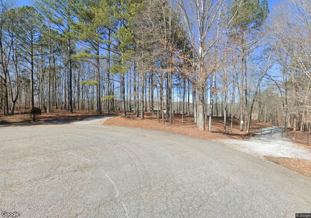
Looking for that perfect lake house yet convenient to everything? Look no more! This gorgeous 2019 custom built home offers well appointed living spaces with panoramic views of a 25+ac water shed lake. Situated on almost 5 acres, this private retreat offers plenty of upgraded space for a large family, entertaining, or possibly an in-law suite/apt. With 2 complete kitchens, 2 living rooms, bathrooms on both levels, the possibilities are endless. Construction details include a 4 zoned HVAC system, architectural shingles, 44 x 12 Trex deck overlooking the lake, plus a 36 x 24 workshop with power and water accessible. But that's not all ~ all appliances stay (both kitchens and washing machine/dryer), pool table stays too! Spratlin Pointe is a great one street neighborhood & horses are welcome. This property is approved for a floating dock and motorized boats are permitted. Conveniently located close to Madison County Award Winning Schools, ACS, Athens Tech & UGA. A must see!
Last Agent to Sell the Property
Kim Shupe
Coldwell Banker Upchurch Realty License #239084 Listed on: 01/20/2020
Last Buyer's Agent
Teresa Hartford
Keller Williams Greater Athens License #258409
| Date | Buyer | Sale Price | Title Company |
|---|---|---|---|
| Ruscitti Michael C | $390,000 | -- | |
| Power Katelin M | $67,500 | -- | |
| Bettis Marvin N | $52,000 | -- | |
| Byram John W | -- | -- |
| Date | Event | Price | List to Sale | Price per Sq Ft |
|---|---|---|---|---|
| 03/04/2020 03/04/20 | Sold | $398,000 | -10.6% | $125 / Sq Ft |
| 02/03/2020 02/03/20 | Pending | -- | -- | -- |
| 01/20/2020 01/20/20 | For Sale | $445,000 | -- | $139 / Sq Ft |
| Year | Tax Paid | Tax Assessment Tax Assessment Total Assessment is a certain percentage of the fair market value that is determined by local assessors to be the total taxable value of land and additions on the property. | Land | Improvement |
|---|---|---|---|---|
| 2024 | $3,488 | $144,000 | $23,901 | $120,099 |
| 2023 | $2,997 | $143,168 | $23,901 | $119,267 |
| 2022 | $3,673 | $143,168 | $23,901 | $119,267 |
| 2021 | $3,379 | $120,697 | $23,901 | $96,796 |
| 2020 | $3,623 | $117,846 | $23,901 | $93,945 |
| 2019 | $3,618 | $116,349 | $23,901 | $92,448 |
| 2018 | $745 | $23,901 | $23,901 | $0 |
| 2017 | $688 | $23,901 | $23,901 | $0 |
| 2016 | $686 | $23,901 | $23,901 | $0 |
| 2015 | $686 | $23,901 | $23,901 | $0 |
| 2014 | $691 | $23,901 | $23,901 | $0 |
| 2013 | -- | $23,901 | $23,901 | $0 |
K
Seller's Agent in 2020
Kim Shupe
Coldwell Banker Upchurch Realty
T
Buyer's Agent in 2020
Teresa Hartford
Keller Williams Greater Athens
Source: Savannah Multi-List Corporation
MLS Number: CM973204
APN: 0045-006-H
Disclaimer: Certain information contained herein is derived from information provided by parties other than Homes.com. All information provided is deemed reliable, but is not guaranteed to be accurate and should be independently verified.
![]() IDX information is provided exclusively for personal, non-commercial use, and may not be used for any purpose other than to identify prospective properties consumers may be interested in purchasing.
IDX information is provided exclusively for personal, non-commercial use, and may not be used for any purpose other than to identify prospective properties consumers may be interested in purchasing.
Information is deemed reliable but not guaranteed.