210 Stow Rd Harvard, MA 01451
Estimated Value: $622,000 - $891,000
2
Beds
3
Baths
1,638
Sq Ft
$439/Sq Ft
Est. Value
About This Home
This home is located at 210 Stow Rd, Harvard, MA 01451 and is currently estimated at $719,654, approximately $439 per square foot. 210 Stow Rd is a home located in Worcester County.
Ownership History
Date
Name
Owned For
Owner Type
Purchase Details
Closed on
Jan 20, 2016
Sold by
Burnett David W and Meyer Barbara J
Bought by
Int Burnett-Meyer and Meyer Barbara J
Current Estimated Value
Purchase Details
Closed on
Jan 16, 1985
Bought by
Burnett David W and Meyer Barbara J
Create a Home Valuation Report for This Property
The Home Valuation Report is an in-depth analysis detailing your home's value as well as a comparison with similar homes in the area
Home Values in the Area
Average Home Value in this Area
Purchase History
| Date | Buyer | Sale Price | Title Company |
|---|---|---|---|
| Int Burnett-Meyer | -- | -- | |
| Burnett David W | $139,900 | -- |
Source: Public Records
Mortgage History
| Date | Status | Borrower | Loan Amount |
|---|---|---|---|
| Previous Owner | Burnett David W | $42,500 | |
| Previous Owner | Burnett David W | $196,000 | |
| Previous Owner | Burnett David W | $75,000 | |
| Previous Owner | Burnett David W | $25,000 |
Source: Public Records
Tax History Compared to Growth
Tax History
| Year | Tax Paid | Tax Assessment Tax Assessment Total Assessment is a certain percentage of the fair market value that is determined by local assessors to be the total taxable value of land and additions on the property. | Land | Improvement |
|---|---|---|---|---|
| 2025 | $7,919 | $506,000 | $229,500 | $276,500 |
| 2024 | $7,539 | $506,000 | $229,500 | $276,500 |
| 2023 | $7,837 | $471,800 | $220,000 | $251,800 |
| 2022 | $7,927 | $442,600 | $236,000 | $206,600 |
| 2021 | $12,969 | $419,900 | $236,000 | $183,900 |
| 2020 | $0 | $392,800 | $236,000 | $156,800 |
| 2019 | $6,858 | $393,700 | $236,000 | $157,700 |
| 2018 | $4,947 | $411,700 | $236,000 | $175,700 |
| 2017 | $6,695 | $369,900 | $196,000 | $173,900 |
| 2016 | $6,532 | $361,900 | $196,000 | $165,900 |
| 2015 | $6,241 | $350,800 | $192,000 | $158,800 |
| 2014 | $5,995 | $350,800 | $192,000 | $158,800 |
Source: Public Records
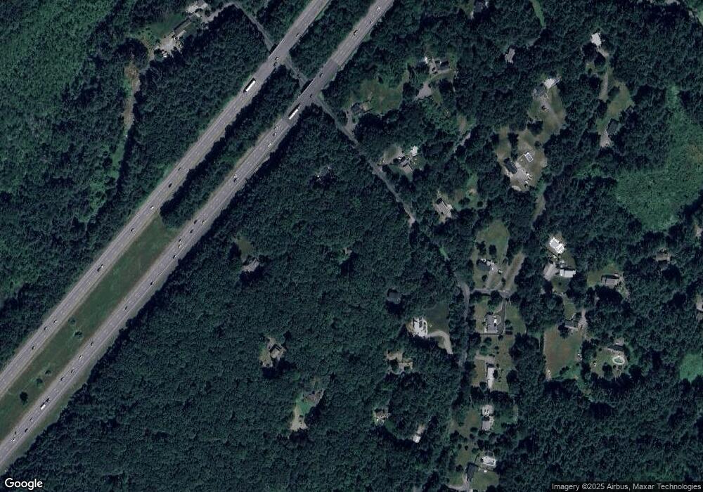
Map
Nearby Homes
- 13 Pine Hill Way
- 14 Pine Hill Way
- 16 A Pine Hill Way Unit 16AA
- 18 B Pine Hill Way Unit BB
- 310 Codman Hill Rd Unit 35D
- 19 Partridge Hill Rd
- 1155 Burroughs Rd
- 90 Corn Rd
- 19 Barton Rd
- 176 Swanson Rd Unit 309
- 53 Swanson Ct Unit 36C
- 220 Swanson Rd Unit 605
- 220 Swanson Rd Unit 606
- 220 Swanson Rd Unit 604
- 42 Swanson Ct Unit 14A
- 58 Spencer Rd Unit 18K
- 50 Spencer Rd Unit 36
- 21 Woodside Rd
- 184 Old Bolton Rd
- 76 Bolton Woods Way