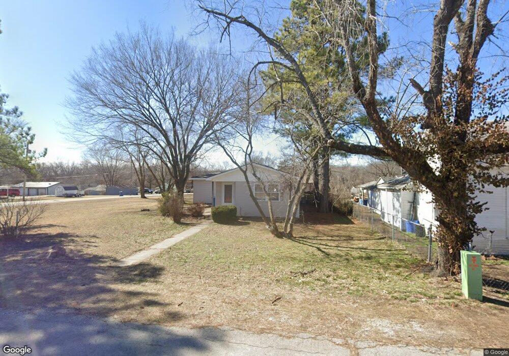
210 Summit St Carl Junction, MO 64834
Estimated Value: $190,000 - $240,000
3
Beds
2
Baths
1,487
Sq Ft
$137/Sq Ft
Est. Value
About This Home
This home is located at 210 Summit St, Carl Junction, MO 64834 and is currently estimated at $203,956, approximately $137 per square foot. 210 Summit St is a home located in Jasper County with nearby schools including Carl Junction Primary School (K-1), Carl Junction Intermediate School, and Carl Junction Primary School (2-3).
Ownership History
Date
Name
Owned For
Owner Type
Purchase Details
Closed on
Jul 14, 2021
Sold by
Adams Corey
Bought by
Mellinger Shannon and Mellinger Regina
Current Estimated Value
Home Financials for this Owner
Home Financials are based on the most recent Mortgage that was taken out on this home.
Original Mortgage
$145,454
Outstanding Balance
$130,892
Interest Rate
2.93%
Mortgage Type
Stand Alone Refi Refinance Of Original Loan
Estimated Equity
$73,064
Purchase Details
Closed on
Dec 23, 2020
Sold by
Johnson Amber and Johnson Michael
Bought by
Adams Corey
Home Financials for this Owner
Home Financials are based on the most recent Mortgage that was taken out on this home.
Original Mortgage
$70,500
Interest Rate
2.7%
Mortgage Type
FHA
Create a Home Valuation Report for This Property
The Home Valuation Report is an in-depth analysis detailing your home's value as well as a comparison with similar homes in the area
Purchase History
| Date | Buyer | Sale Price | Title Company |
|---|---|---|---|
| Mellinger Shannon | -- | None Available | |
| Adams Corey | -- | None Available |
Source: Public Records
Mortgage History
| Date | Status | Borrower | Loan Amount |
|---|---|---|---|
| Open | Mellinger Shannon | $145,454 | |
| Previous Owner | Adams Corey | $70,500 |
Source: Public Records
Tax History
| Year | Tax Paid | Tax Assessment Tax Assessment Total Assessment is a certain percentage of the fair market value that is determined by local assessors to be the total taxable value of land and additions on the property. | Land | Improvement |
|---|---|---|---|---|
| 2025 | $1,064 | $20,480 | $2,090 | $18,390 |
| 2024 | $1,070 | $18,180 | $2,090 | $16,090 |
| 2023 | $1,070 | $18,180 | $2,090 | $16,090 |
| 2022 | $836 | $14,170 | $2,090 | $12,080 |
| 2021 | $718 | $14,170 | $2,090 | $12,080 |
| 2020 | $674 | $13,080 | $2,090 | $10,990 |
| 2019 | $640 | $13,080 | $2,090 | $10,990 |
| 2018 | $614 | $12,590 | $0 | $0 |
| 2017 | $616 | $12,590 | $0 | $0 |
| 2016 | $610 | $12,590 | $0 | $0 |
| 2015 | $598 | $12,590 | $0 | $0 |
| 2014 | $598 | $12,590 | $0 | $0 |
Source: Public Records
Map
Nearby Homes
- 604 Pennell St
- 720 Sheridan Ave
- TBD Temple St
- 608 Valley View St
- 503 S Main St
- 501 S Cowgill St
- 809 Aberdeen Ave
- 901 Aberdeen Ave
- 120 Concord St
- 410 Walton St
- 505 N Broadway Ave
- 304 Belgian Blue Blvd
- 509 W Gault St
- 900 Aberdeen Ave
- 805 Aberdeen Ave
- 804 Aberdeen Ave
- 104 Cambridge Dr
- 806 Aberdeen Ave
- 808 Aberdeen Ave
- 903 Aberdeen Ave
Your Personal Tour Guide
Ask me questions while you tour the home.