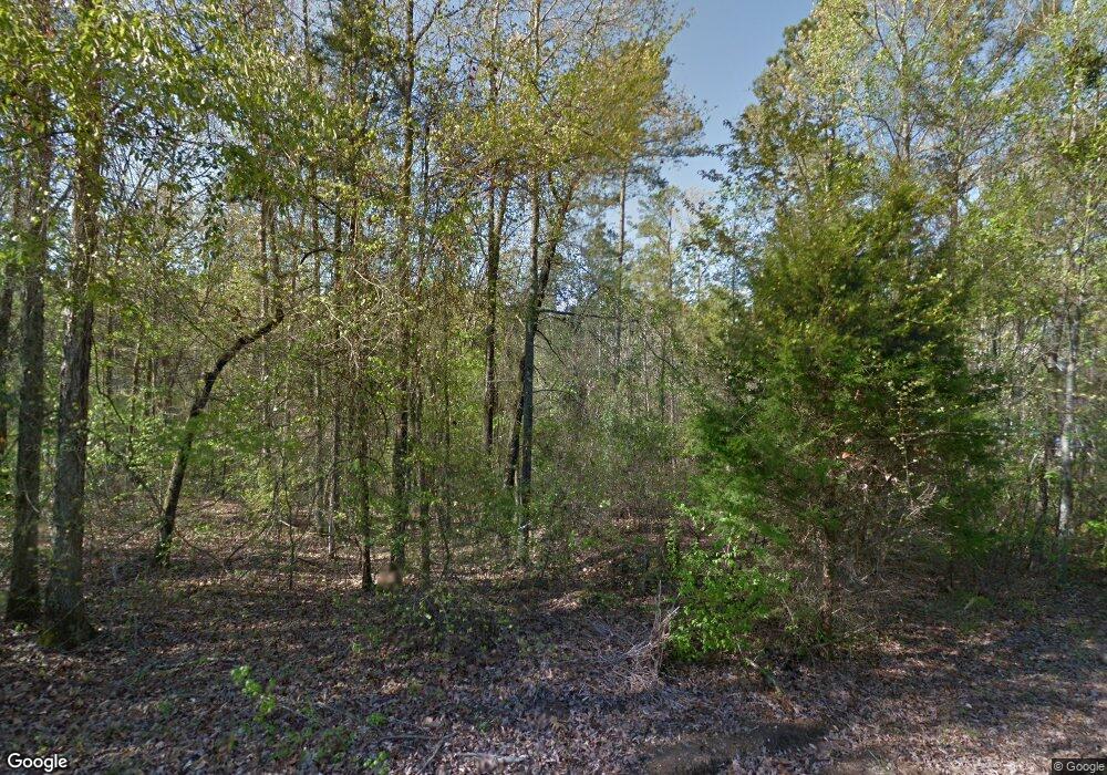
210 Talmadge Dr Fulton, MI 38843
Estimated Value: $181,000 - $427,000
3
Beds
3
Baths
1,894
Sq Ft
$155/Sq Ft
Est. Value
About This Home
This home is located at 210 Talmadge Dr, Fulton, MI 38843 and is currently estimated at $293,595, approximately $155 per square foot. 210 Talmadge Dr is a home located in Itawamba County.
Ownership History
Date
Name
Owned For
Owner Type
Purchase Details
Closed on
Nov 23, 2020
Sold by
Bryowsky Joseph and Bryowsky Vickey
Bought by
Stevenson Christopher Allen and Stevenson Jessi Parker
Current Estimated Value
Home Financials for this Owner
Home Financials are based on the most recent Mortgage that was taken out on this home.
Original Mortgage
$205,000
Outstanding Balance
$182,421
Interest Rate
2.8%
Mortgage Type
New Conventional
Estimated Equity
$111,174
Purchase Details
Closed on
Aug 19, 2020
Sold by
Bryowsky Joseph
Bought by
Sheffield Justin David and Sheffield Whitney Camille
Create a Home Valuation Report for This Property
The Home Valuation Report is an in-depth analysis detailing your home's value as well as a comparison with similar homes in the area
Home Values in the Area
Average Home Value in this Area
Purchase History
| Date | Buyer | Sale Price | Title Company |
|---|---|---|---|
| Stevenson Christopher Allen | -- | None Available | |
| Sheffield Justin David | -- | None Available |
Source: Public Records
Mortgage History
| Date | Status | Borrower | Loan Amount |
|---|---|---|---|
| Open | Stevenson Christopher Allen | $205,000 |
Source: Public Records
Tax History Compared to Growth
Tax History
| Year | Tax Paid | Tax Assessment Tax Assessment Total Assessment is a certain percentage of the fair market value that is determined by local assessors to be the total taxable value of land and additions on the property. | Land | Improvement |
|---|---|---|---|---|
| 2024 | $1,689 | $14,649 | $0 | $0 |
| 2023 | $1,650 | $14,655 | $0 | $0 |
| 2022 | $1,582 | $14,524 | $0 | $0 |
| 2021 | $1,403 | $13,143 | $0 | $0 |
| 2020 | $1,337 | $12,635 | $0 | $0 |
| 2019 | $1,281 | $12,489 | $0 | $0 |
| 2018 | $1,281 | $12,493 | $0 | $0 |
| 2017 | $1,239 | $12,725 | $0 | $0 |
| 2015 | $1,197 | $121,180 | $28,680 | $92,500 |
| 2014 | $1,197 | $117,920 | $28,620 | $89,300 |
| 2013 | -- | $116,460 | $28,580 | $87,880 |
Source: Public Records
Map
Nearby Homes
- 112 Old Beaver Lake Rd
- 12 Old Beaver Lake Cove
- Lot 8 Old Beaver Lake Rd
- Lot 5A Arrowhead Dr
- 0 Beaver Lake Rd
- 0
- 0 0 Scott Senter Road (30 Ac)
- Lot 2 Dogwood Estates
- Lot 8 Dogwood Estates
- Lot 1 Dogwood Estates Rd
- 107 River Shore Rd
- 549 Lake Dr
- 0 0 Scott Senter Road (170 Ac)
- 0 Possum Trot Rd
- 0 Burntfields Rd
- 0 0 Scott Senter Road (185 Ac)
- 2635 Joe Wheeler Brown Rd
- 645 Footney Brown Rd
- 245 Ferguson Lake Rd
- 597 Taylor Rd N
- 210 Talmadge Dr
- 0 Rd Unit 23-3877
- 10 Blaylock Dr
- 2 Blaylock Dr
- 5 Blaylock Dr
- 200 Talmadge Dr
- 200 Talmadge Dr
- 63 Blaylock Dr
- 180 Talmadge Dr
- 120 Talmadge Dr
- 69 Blaylock Dr
- 294 Old Beaver Lake Rd
- 151 Coggins Blaylock Dr
- 23 Pedenwood Cove
- 55 Pedenwood Cove
- 101 Pedenwood Cove
- 55 Pedenwood Cove
- 150 Pedenwood Cove
- 360 Pedenwood Cove
- 348 Blaylock Dr
