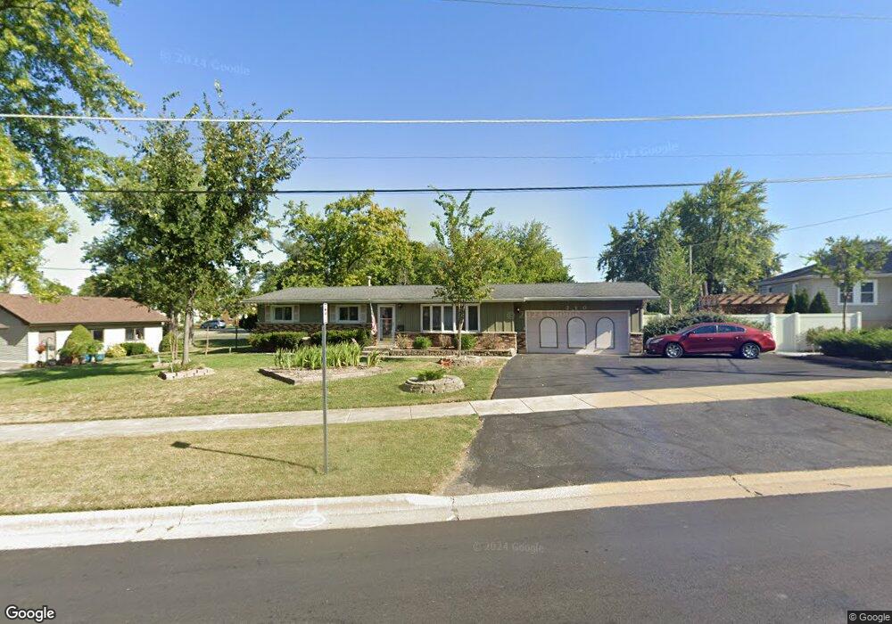
210 Thornton St Lockport, IL 60441
Estimated Value: $272,000 - $336,000
3
Beds
--
Bath
--
Sq Ft
0.25
Acres
About This Home
This home is located at 210 Thornton St, Lockport, IL 60441 and is currently estimated at $305,817. 210 Thornton St is a home located in Will County with nearby schools including Ludwig Elementary School, Walsh Elementary School, and Reed Elementary School.
Ownership History
Date
Name
Owned For
Owner Type
Purchase Details
Closed on
Apr 7, 2005
Sold by
Osullivan Michael J and Osullivan Carolyn R
Bought by
Severson Charles T
Current Estimated Value
Home Financials for this Owner
Home Financials are based on the most recent Mortgage that was taken out on this home.
Original Mortgage
$218,601
Outstanding Balance
$114,778
Interest Rate
6.05%
Mortgage Type
VA
Estimated Equity
$191,039
Purchase Details
Closed on
Feb 5, 2004
Sold by
Osullivan Michael J and Osullivan Carolyn R
Bought by
Osullivan Michael J and Osullivan Carolyn R
Purchase Details
Closed on
Apr 27, 2000
Sold by
Kociolek Antoni P and Kociolek Aleksandra K
Bought by
Osullivan Michael J and Kruchten Carolyn R
Home Financials for this Owner
Home Financials are based on the most recent Mortgage that was taken out on this home.
Original Mortgage
$132,050
Interest Rate
8.24%
Create a Home Valuation Report for This Property
The Home Valuation Report is an in-depth analysis detailing your home's value as well as a comparison with similar homes in the area
Home Values in the Area
Average Home Value in this Area
Purchase History
| Date | Buyer | Sale Price | Title Company |
|---|---|---|---|
| Severson Charles T | $214,000 | Stewart Title Company | |
| Osullivan Michael J | -- | -- | |
| Osullivan Michael J | $139,000 | -- |
Source: Public Records
Mortgage History
| Date | Status | Borrower | Loan Amount |
|---|---|---|---|
| Open | Severson Charles T | $218,601 | |
| Previous Owner | Osullivan Michael J | $132,050 |
Source: Public Records
Tax History Compared to Growth
Tax History
| Year | Tax Paid | Tax Assessment Tax Assessment Total Assessment is a certain percentage of the fair market value that is determined by local assessors to be the total taxable value of land and additions on the property. | Land | Improvement |
|---|---|---|---|---|
| 2024 | $7,226 | $94,986 | $25,594 | $69,392 |
| 2023 | $7,226 | $85,273 | $22,977 | $62,296 |
| 2022 | $5,869 | $72,774 | $19,609 | $53,165 |
| 2021 | $5,514 | $68,390 | $18,428 | $49,962 |
| 2020 | $5,362 | $66,141 | $17,822 | $48,319 |
| 2019 | $5,049 | $62,693 | $16,893 | $45,800 |
| 2018 | $4,943 | $60,265 | $16,239 | $44,026 |
| 2017 | $4,705 | $56,891 | $15,330 | $41,561 |
| 2016 | $4,180 | $50,492 | $13,606 | $36,886 |
| 2015 | $3,475 | $45,322 | $12,213 | $33,109 |
| 2014 | $3,475 | $41,580 | $11,205 | $30,375 |
| 2013 | $3,475 | $41,580 | $11,205 | $30,375 |
Source: Public Records
Map
Nearby Homes
- 118 N State St
- 120 N State St
- 219 S Washington St
- 134 S Jefferson St
- 101 Market St
- 327 S State St
- 540 E 4th St
- 247 E North St
- 613 Katherine St
- 814 S Washington St
- 800 Madison St Unit 2C
- 1009 Mccameron Ave Unit 1
- 609 Oak St
- 807 Valley Ln
- 1108 E 9th St
- 1006 S Jefferson St
- 1016 S State St
- 805 Maryknoll Dr
- 200 E 11th St
- 1102 E Treeline Dr
- 118 N Hamilton St
- 200 Thornton St
- 220 Thornton St
- 122 N Hamilton St
- 226 Thornton St
- 217 Thornton St
- 101 S Washington St
- 102 S Hamilton St
- 128 N Hamilton St
- 232 Thornton St
- 111 N Washington St
- 103 S Washington St
- 132 N Hamilton St
- 108 Thornton St
- 104 S Hamilton St
- 117 N Washington St
- 107 N Hamilton St
- 111 N Hamilton St
- 115 S Washington St
- 117 N Hamilton St