210 Tower Cir Mineral Bluff, GA 30559
Estimated Value: $586,000 - $1,050,000
--
Bed
4
Baths
1,911
Sq Ft
$443/Sq Ft
Est. Value
About This Home
This home is located at 210 Tower Cir, Mineral Bluff, GA 30559 and is currently estimated at $846,795, approximately $443 per square foot. 210 Tower Cir is a home with nearby schools including Fannin County High School.
Ownership History
Date
Name
Owned For
Owner Type
Purchase Details
Closed on
Apr 30, 2021
Sold by
Krhc Inc
Bought by
Evans Isabella and Evans Todd
Current Estimated Value
Home Financials for this Owner
Home Financials are based on the most recent Mortgage that was taken out on this home.
Original Mortgage
$548,000
Outstanding Balance
$496,625
Interest Rate
3.1%
Mortgage Type
New Conventional
Estimated Equity
$350,170
Purchase Details
Closed on
Jan 17, 2020
Sold by
Yardas William D
Bought by
Krhc Inc
Create a Home Valuation Report for This Property
The Home Valuation Report is an in-depth analysis detailing your home's value as well as a comparison with similar homes in the area
Home Values in the Area
Average Home Value in this Area
Purchase History
| Date | Buyer | Sale Price | Title Company |
|---|---|---|---|
| Evans Isabella | $760,000 | -- | |
| Krhc Inc | $65,000 | -- |
Source: Public Records
Mortgage History
| Date | Status | Borrower | Loan Amount |
|---|---|---|---|
| Open | Evans Isabella | $548,000 |
Source: Public Records
Tax History Compared to Growth
Tax History
| Year | Tax Paid | Tax Assessment Tax Assessment Total Assessment is a certain percentage of the fair market value that is determined by local assessors to be the total taxable value of land and additions on the property. | Land | Improvement |
|---|---|---|---|---|
| 2024 | $3,285 | $358,467 | $4,225 | $354,242 |
| 2023 | $2,913 | $285,682 | $4,225 | $281,457 |
| 2022 | $2,941 | $288,505 | $4,225 | $284,280 |
| 2021 | $38 | $2,722 | $2,722 | $0 |
| 2020 | $39 | $2,722 | $2,722 | $0 |
| 2019 | $40 | $2,722 | $2,722 | $0 |
| 2018 | $34 | $2,232 | $2,232 | $0 |
| 2017 | $39 | $2,232 | $2,232 | $0 |
| 2016 | $38 | $2,232 | $2,232 | $0 |
| 2015 | $40 | $2,232 | $2,232 | $0 |
| 2014 | $117 | $6,602 | $6,602 | $0 |
| 2013 | -- | $6,601 | $6,601 | $0 |
Source: Public Records
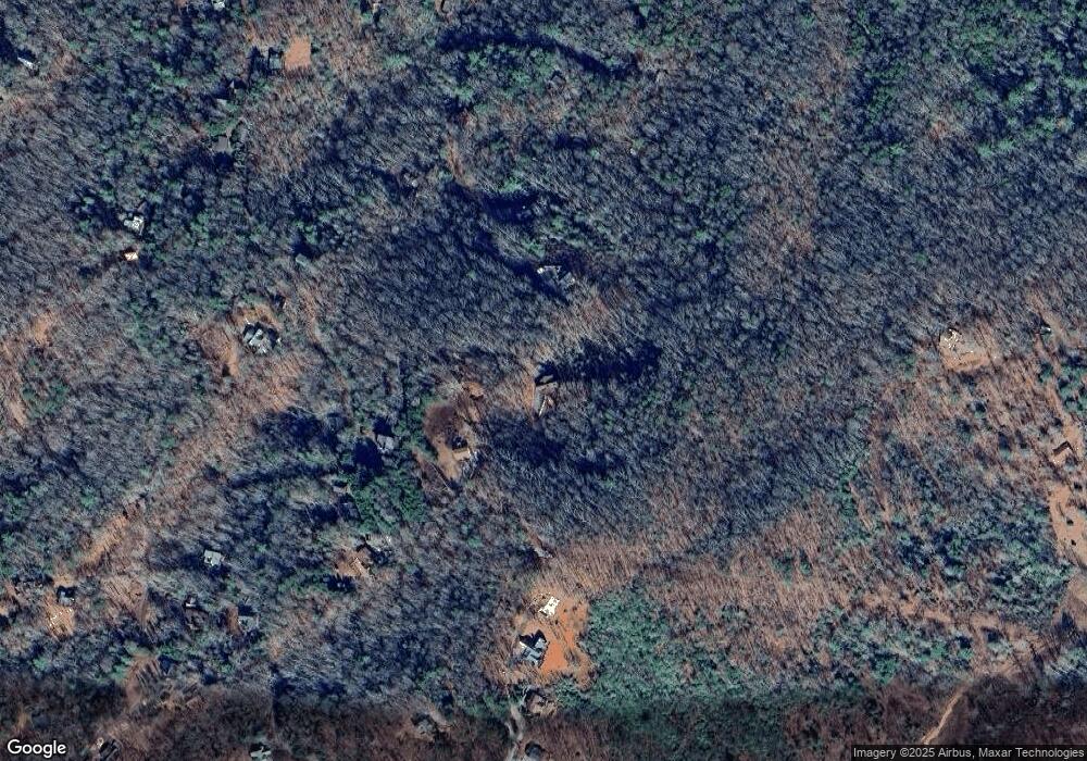
Map
Nearby Homes
- 100 Wintermute Dr
- 530 Tower Rd Unit 3
- 530 Tower Rd
- 506 Tower Rd
- 506 Tower Rd Unit 3
- 705 Hickory Dr
- 313 Spruce Cir
- Lot 12A Oak Loop
- 437 Spruce Cir
- 437 Spruce Cir Unit G
- 433 Spruce Cir
- 588 Tower Rd
- 1.34 AC Laurel Springs Rd
- 421 Salem Valley Rd
- 60 Jackies Bluff Rd
- 2461 Salem Rd
- 2400 Hardscrabble Rd
- 138 Oakwood Trail
- 6 Gilliam Rd
- 425 Rhonda Ln
- 310 Tower Cir
- 0 Oak Loop Unit 10366645
- 0 Oak Loop
- 129 Tower Cir
- 276 Tower Cir
- 257 Oak Loop
- 257 Oak Loop Unit 7
- 227 Wintermute Dr
- 170 Tower Cir
- 360 Tower Cir
- 00 Oak Loop
- 400 Tower Cir
- 798 Hickory Dr
- 61 Packard's View Dr
- 61 Packards View Dr
- 61 Packards View Dr
- 780 Spruce Cir
- 890 Hickory Dr
- 890 Hickory Dr Unit LOT B
- 890 Hickory Dr Unit 3