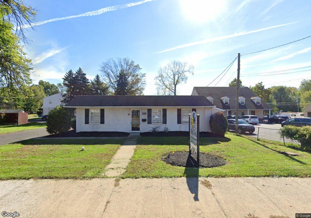
210 W Broad St Hatfield, PA 19440
Estimated Value: $382,987
--
Bed
2
Baths
1,280
Sq Ft
$299/Sq Ft
Est. Value
About This Home
This home is located at 210 W Broad St, Hatfield, PA 19440 and is currently estimated at $382,987, approximately $299 per square foot. 210 W Broad St is a home located in Montgomery County with nearby schools including Hatfield Elementary School, Pennfield Middle School, and North Penn Senior High School.
Ownership History
Date
Name
Owned For
Owner Type
Purchase Details
Closed on
Sep 29, 2017
Sold by
Tinsmith James
Bought by
M & Z Development Lp
Current Estimated Value
Home Financials for this Owner
Home Financials are based on the most recent Mortgage that was taken out on this home.
Original Mortgage
$184,000
Outstanding Balance
$153,692
Interest Rate
3.82%
Mortgage Type
New Conventional
Estimated Equity
$233,113
Purchase Details
Closed on
Jun 21, 1977
Bought by
Tinsmith James
Create a Home Valuation Report for This Property
The Home Valuation Report is an in-depth analysis detailing your home's value as well as a comparison with similar homes in the area
Home Values in the Area
Average Home Value in this Area
Purchase History
| Date | Buyer | Sale Price | Title Company |
|---|---|---|---|
| M & Z Development Lp | $230,000 | -- | |
| Tinsmith James | $54,000 | -- |
Source: Public Records
Mortgage History
| Date | Status | Borrower | Loan Amount |
|---|---|---|---|
| Open | M & Z Development Lp | $184,000 |
Source: Public Records
Tax History Compared to Growth
Tax History
| Year | Tax Paid | Tax Assessment Tax Assessment Total Assessment is a certain percentage of the fair market value that is determined by local assessors to be the total taxable value of land and additions on the property. | Land | Improvement |
|---|---|---|---|---|
| 2025 | $3,639 | $95,580 | $63,690 | $31,890 |
| 2024 | $3,639 | $95,580 | $63,690 | $31,890 |
| 2023 | $3,474 | $95,580 | $63,690 | $31,890 |
| 2022 | $3,355 | $95,580 | $63,690 | $31,890 |
| 2021 | $3,159 | $95,580 | $63,690 | $31,890 |
| 2020 | $3,053 | $95,580 | $63,690 | $31,890 |
| 2019 | $2,997 | $95,580 | $63,690 | $31,890 |
| 2018 | $559 | $95,580 | $63,690 | $31,890 |
| 2017 | $2,871 | $95,580 | $63,690 | $31,890 |
| 2016 | $2,834 | $95,580 | $63,690 | $31,890 |
| 2015 | $2,613 | $95,580 | $63,690 | $31,890 |
| 2014 | $2,613 | $95,580 | $63,690 | $31,890 |
Source: Public Records
Map
Nearby Homes
- 24 S Wayne Ave
- 302 W Broad St
- 105 S Main St
- 142 Orchard Ln
- 2801 Denbeigh Dr
- 3 Diamond St
- 113 Hickory Dr
- 480 Bentwood Dr
- 109 Hickory Dr
- 138 Diamond St Unit 31
- 1744 Lydia Dr
- 1520 Fairgrounds Rd
- 36 N Maple Ave
- 2713 Beech St
- 2031 Oak Ave
- 2921 Cowpath Rd
- 829 Alexander Dr
- 2821 N Ford Dr
- 2805 N Ford Dr
- 1306 W Orvilla Rd
- 202 W Broad St
- 16 Columbia Ave
- 24 Columbia Ave
- 234 W Broad St Unit STE B
- 215 W Broad St
- 819 Stephenie Ct
- 203 W Broad St
- 32 Columbia Ave
- 120 W Broad St
- 133 W Broad St
- 211 W Broad St
- 209 W Broad St
- 531 Stephenie Ct
- 25 Columbia Ave
- 219 W Broad St
- 38 Columbia Ave
- 127 W Broad St
- 118 W Broad St
- 31 Columbia Ave
- 44 Columbia Ave