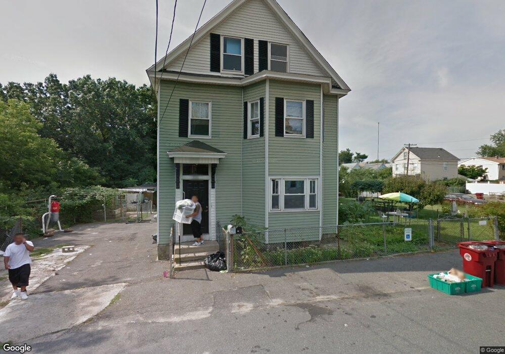
210 W Manchester St Lowell, MA 01852
Sacred Heart NeighborhoodEstimated Value: $633,000 - $757,538
6
Beds
3
Baths
3,169
Sq Ft
$223/Sq Ft
Est. Value
About This Home
This home is located at 210 W Manchester St, Lowell, MA 01852 and is currently estimated at $705,885, approximately $222 per square foot. 210 W Manchester St is a home located in Middlesex County with nearby schools including Abraham Lincoln Elementary School, Moody Elementary School, and Greenhalge Elementary School.
Ownership History
Date
Name
Owned For
Owner Type
Purchase Details
Closed on
Oct 7, 2010
Sold by
Turcotte Virginia M
Bought by
Pertus Aaron
Current Estimated Value
Home Financials for this Owner
Home Financials are based on the most recent Mortgage that was taken out on this home.
Original Mortgage
$170,100
Outstanding Balance
$112,362
Interest Rate
4.37%
Mortgage Type
Purchase Money Mortgage
Estimated Equity
$593,523
Purchase Details
Closed on
Apr 28, 2006
Sold by
Mello Elizabeth L
Bought by
Turcotte Virginia M
Create a Home Valuation Report for This Property
The Home Valuation Report is an in-depth analysis detailing your home's value as well as a comparison with similar homes in the area
Home Values in the Area
Average Home Value in this Area
Purchase History
| Date | Buyer | Sale Price | Title Company |
|---|---|---|---|
| Pertus Aaron | $253,000 | -- | |
| Pertus Aaron | $253,000 | -- | |
| Turcotte Virginia M | -- | -- | |
| Turcotte Virginia M | -- | -- |
Source: Public Records
Mortgage History
| Date | Status | Borrower | Loan Amount |
|---|---|---|---|
| Open | Pertus Aaron | $170,100 | |
| Closed | Turcotte Virginia M | $170,100 | |
| Previous Owner | Turcotte Virginia M | $25,000 |
Source: Public Records
Tax History Compared to Growth
Tax History
| Year | Tax Paid | Tax Assessment Tax Assessment Total Assessment is a certain percentage of the fair market value that is determined by local assessors to be the total taxable value of land and additions on the property. | Land | Improvement |
|---|---|---|---|---|
| 2025 | $8,256 | $719,200 | $167,200 | $552,000 |
| 2024 | $7,658 | $643,000 | $156,200 | $486,800 |
| 2023 | $7,122 | $573,400 | $135,900 | $437,500 |
| 2022 | $6,589 | $519,200 | $123,600 | $395,600 |
| 2021 | $6,108 | $453,800 | $107,500 | $346,300 |
| 2020 | $5,630 | $421,400 | $102,200 | $319,200 |
| 2019 | $5,082 | $362,000 | $94,700 | $267,300 |
| 2018 | $4,742 | $329,500 | $90,200 | $239,300 |
| 2017 | $4,482 | $300,400 | $82,000 | $218,400 |
| 2016 | $4,396 | $290,000 | $71,600 | $218,400 |
| 2015 | $4,033 | $260,500 | $71,600 | $188,900 |
| 2013 | $3,601 | $239,900 | $80,000 | $159,900 |
Source: Public Records
Map
Nearby Homes
- 255 Plain St
- 131 London St
- 59 Boston Rd
- 29 Marriner St
- 433 Lincoln St
- 31 Waite St
- 15 Carter Ave
- 59 Livingston St
- 60 Liberty St Unit 3
- 58 Fay St Unit 2
- 15 Barclay St
- 122 Swan St Unit 102
- 35 Prospect St
- 106 Lundberg St Unit 6
- 1000 Central St
- 17 Cedar Ct
- 52 Bigelow St
- 8 Cedar Ct
- 43 Cedar St
- 201 Thorndike St Unit 1-23
- 120 Main St
- 215 W Manchester St Unit 2
- 213 W Manchester St Unit 2
- 213 W Manchester St
- 126 Main St
- 113 Main St
- 201 W Manchester St
- 119 Main St
- 223 W Manchester St
- 232 W Manchester St
- 132 Main St
- 95 Main St
- 91 Montreal St
- 238 W Manchester St
- 1 Waldo St
- 134 Main St
- 89 Main St
- 10 Montreal St
- 86 Montreal St
- 86 Main St