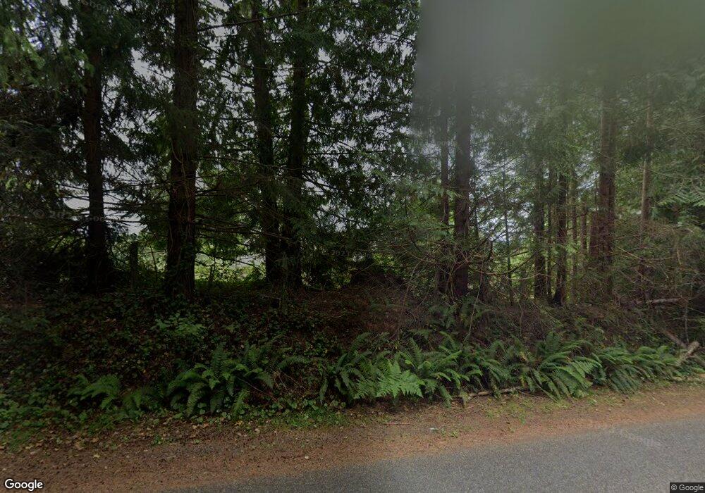
210 W Mcbryde Ave Montesano, WA 98563
Estimated Value: $556,000 - $734,000
3
Beds
3
Baths
1,602
Sq Ft
$396/Sq Ft
Est. Value
About This Home
This home is located at 210 W Mcbryde Ave, Montesano, WA 98563 and is currently estimated at $634,591, approximately $396 per square foot. 210 W Mcbryde Ave is a home located in Grays Harbor County with nearby schools including Beacon Avenue Elementary School, Simpson Avenue Elementary School, and Montesano Junior/Senior High School.
Ownership History
Date
Name
Owned For
Owner Type
Purchase Details
Closed on
Sep 1, 2010
Sold by
Bryson Clint R
Bought by
Bryson Clint R and Bryson Nancy E
Current Estimated Value
Home Financials for this Owner
Home Financials are based on the most recent Mortgage that was taken out on this home.
Original Mortgage
$242,000
Interest Rate
4.51%
Mortgage Type
New Conventional
Create a Home Valuation Report for This Property
The Home Valuation Report is an in-depth analysis detailing your home's value as well as a comparison with similar homes in the area
Home Values in the Area
Average Home Value in this Area
Purchase History
| Date | Buyer | Sale Price | Title Company |
|---|---|---|---|
| Bryson Clint R | -- | Coast Title |
Source: Public Records
Mortgage History
| Date | Status | Borrower | Loan Amount |
|---|---|---|---|
| Closed | Bryson Clint R | $242,000 |
Source: Public Records
Tax History Compared to Growth
Tax History
| Year | Tax Paid | Tax Assessment Tax Assessment Total Assessment is a certain percentage of the fair market value that is determined by local assessors to be the total taxable value of land and additions on the property. | Land | Improvement |
|---|---|---|---|---|
| 2025 | $5,366 | $580,433 | $114,700 | $465,733 |
| 2023 | $5,214 | $728,598 | $91,471 | $637,127 |
| 2022 | $4,962 | $458,594 | $67,749 | $390,845 |
| 2021 | $5,408 | $458,594 | $67,749 | $390,845 |
| 2020 | $5,510 | $454,483 | $60,490 | $393,993 |
| 2019 | $4,728 | $446,593 | $52,600 | $393,993 |
| 2018 | $5,581 | $417,408 | $52,600 | $364,808 |
| 2017 | $4,987 | $386,623 | $45,000 | $341,623 |
| 2016 | $4,826 | $370,355 | $45,000 | $325,355 |
| 2014 | -- | $364,080 | $45,000 | $319,080 |
| 2013 | -- | $364,350 | $45,000 | $319,350 |
Source: Public Records
Map
Nearby Homes
- 357 N Sylvia St
- 621 N 6th St
- 312 E Wilder Hill Ln
- 504 N 8th St
- 434 N 8th St
- 530 W Spruce Ave
- 122 S 3rd St
- 132 S Fleet St
- 124 N Chehalis St
- 404 W Marcy Ave
- 126 S Chehalis St
- 418 E Pioneer Ave
- 527 S 5th St
- 335 S 11th St
- 535 Meadow Loop
- 180 Hemlock St
- 23 Garden Tracts Rd
- 0 Val Vista Dr
- 921 Val Vista Dr
- 436 Highland Dr
- 314 W Mcbryde Ave
- 0 E Mcbryde Ave
- 313 W Mcbryde Ave
- 903 Nevills Place
- 108 W Mcbryde Ave
- 719 N 1st St
- 723 N 1st St
- 206 W Mcbryde Ave
- 315 W Mcbryde Ave
- 726 N 1st St
- 709 N 1st St
- 909 Nevills Ln
- 907 Nevills Place
- 412 W Mcbryde Ave
- 825 Wildwood Ct
- 815 Wildwood Ct
- 835 Wildwood Ct
- 224 W Kennaston Ave
- 905 Nevills Place
- 706 N 3rd St
