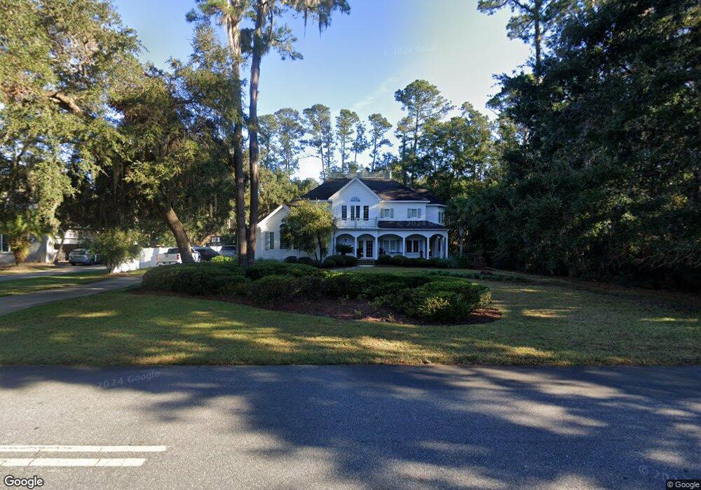
210 W Point Dr Saint Simons Island, GA 31522
Estimated Value: $889,938 - $1,055,000
4
Beds
4
Baths
3,675
Sq Ft
$267/Sq Ft
Est. Value
About This Home
This home is located at 210 W Point Dr, Saint Simons Island, GA 31522 and is currently estimated at $979,735, approximately $266 per square foot. 210 W Point Dr is a home located in Glynn County with nearby schools including Oglethorpe Point Elementary School, Glynn Middle School, and Glynn Academy.
Ownership History
Date
Name
Owned For
Owner Type
Purchase Details
Closed on
Feb 24, 2010
Sold by
Montgomery Bank & Trust
Bought by
Mccaskill George L and Mccaskill Mandy
Current Estimated Value
Home Financials for this Owner
Home Financials are based on the most recent Mortgage that was taken out on this home.
Original Mortgage
$417,000
Outstanding Balance
$275,154
Interest Rate
4.97%
Mortgage Type
New Conventional
Estimated Equity
$704,581
Purchase Details
Closed on
Dec 9, 2008
Sold by
Garner Jerry M
Bought by
Montgomery Bank & Trust
Purchase Details
Closed on
Mar 30, 2005
Sold by
Golden Isles Investments I
Bought by
Garner Jerry M
Create a Home Valuation Report for This Property
The Home Valuation Report is an in-depth analysis detailing your home's value as well as a comparison with similar homes in the area
Home Values in the Area
Average Home Value in this Area
Purchase History
| Date | Buyer | Sale Price | Title Company |
|---|---|---|---|
| Mccaskill George L | $445,900 | -- | |
| Montgomery Bank & Trust | -- | -- | |
| Garner Jerry M | $162,500 | -- |
Source: Public Records
Mortgage History
| Date | Status | Borrower | Loan Amount |
|---|---|---|---|
| Open | Mccaskill George L | $417,000 |
Source: Public Records
Tax History Compared to Growth
Tax History
| Year | Tax Paid | Tax Assessment Tax Assessment Total Assessment is a certain percentage of the fair market value that is determined by local assessors to be the total taxable value of land and additions on the property. | Land | Improvement |
|---|---|---|---|---|
| 2025 | $6,542 | $260,840 | $47,240 | $213,600 |
| 2024 | $6,391 | $254,840 | $47,240 | $207,600 |
| 2023 | $4,058 | $254,840 | $47,240 | $207,600 |
| 2022 | $4,530 | $195,520 | $47,240 | $148,280 |
| 2021 | $4,667 | $192,840 | $47,240 | $145,600 |
| 2020 | $4,710 | $192,840 | $47,240 | $145,600 |
| 2019 | $4,268 | $163,720 | $47,240 | $116,480 |
| 2018 | $4,268 | $163,720 | $47,240 | $116,480 |
| 2017 | $4,078 | $156,440 | $47,240 | $109,200 |
| 2016 | $3,769 | $156,440 | $47,240 | $109,200 |
| 2015 | $3,293 | $136,040 | $47,240 | $88,800 |
| 2014 | $3,293 | $136,040 | $47,240 | $88,800 |
Source: Public Records
Map
Nearby Homes
- 413 Mimosa Dr
- 437 Mimosa Dr
- 136 W Point Pkwy
- 126 Point Ln
- 122 Robertson Cir
- 123 Plemmons Dr
- 339 Pikes Bluff Dr
- 316 Pikes Bluff Dr
- 106 Telford Ln
- 49 Hatton Ln
- 134 Telford Ln
- 521 Clement Cir
- 317 Commons Rd
- 125 E Commons Dr
- 171 W Commons Dr
- 103 Bellrain Ln
- 143 Kirkaldy Ln
- 107 Saint Annies Ln
- 2002 Sea Palms West Dr
- 2203 Grand View Dr
- Lot 102 Middleton Plantation
- 212 W Point Dr
- Lot 115 James Lane Middleton Plant
- 217 W Point Dr
- 101 Middleton Place
- 301 Flanders Landing
- 214 W Point Dr
- 219 W Point Dr
- 213 West Point
- 213 W Point Dr
- 102 Middleton Place
- 103 Middleton Place
- 221 W Point Dr
- 32 Jackson Rd
- 305 Flanders Landing
- 103 Hart Dr
- 30 Jackson Ct
- 211 W Point Dr
- 102 Jackson Ct
- 303 Flanders Landing