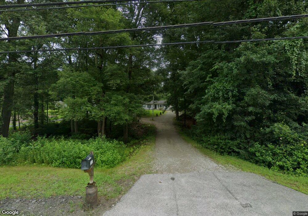
210 Wauregan Rd Danielson, CT 06239
Estimated Value: $306,000 - $337,000
3
Beds
1
Bath
1,056
Sq Ft
$306/Sq Ft
Est. Value
About This Home
This home is located at 210 Wauregan Rd, Danielson, CT 06239 and is currently estimated at $323,583, approximately $306 per square foot. 210 Wauregan Rd is a home located in Windham County with nearby schools including Killingly Central School, Killingly Memorial School, and Killingly Intermediate School.
Ownership History
Date
Name
Owned For
Owner Type
Purchase Details
Closed on
Sep 25, 2020
Sold by
Eithier Steven A
Bought by
Ethier Jessica
Current Estimated Value
Purchase Details
Closed on
Jan 31, 2001
Sold by
Stewart Douglas J
Bought by
Ethier Steven A
Purchase Details
Closed on
Dec 8, 2000
Sold by
Department Of Housing & Urban Dev
Bought by
Stewart Douglas K
Purchase Details
Closed on
Sep 25, 1998
Sold by
Coutant Jeffrey L and Coutant Deborah J
Bought by
Corders Gregory C and Borders Jessica A
Create a Home Valuation Report for This Property
The Home Valuation Report is an in-depth analysis detailing your home's value as well as a comparison with similar homes in the area
Home Values in the Area
Average Home Value in this Area
Purchase History
| Date | Buyer | Sale Price | Title Company |
|---|---|---|---|
| Ethier Jessica | -- | None Available | |
| Ethier Jessica | -- | None Available | |
| Ethier Steven A | $107,000 | -- | |
| Ethier Steven A | $107,000 | -- | |
| Stewart Douglas K | $70,000 | -- | |
| Stewart Douglas K | $70,000 | -- | |
| Corders Gregory C | $93,500 | -- | |
| Corders Gregory C | $93,500 | -- |
Source: Public Records
Mortgage History
| Date | Status | Borrower | Loan Amount |
|---|---|---|---|
| Previous Owner | Corders Gregory C | $140,000 | |
| Previous Owner | Corders Gregory C | $33,000 |
Source: Public Records
Tax History Compared to Growth
Tax History
| Year | Tax Paid | Tax Assessment Tax Assessment Total Assessment is a certain percentage of the fair market value that is determined by local assessors to be the total taxable value of land and additions on the property. | Land | Improvement |
|---|---|---|---|---|
| 2025 | $4,059 | $174,660 | $36,520 | $138,140 |
| 2024 | $3,862 | $174,660 | $36,520 | $138,140 |
| 2023 | $3,522 | $121,170 | $29,820 | $91,350 |
| 2022 | $3,312 | $121,170 | $29,820 | $91,350 |
| 2021 | $3,301 | $121,170 | $29,820 | $91,350 |
| 2020 | $3,240 | $121,170 | $29,820 | $91,350 |
| 2019 | $3,291 | $121,170 | $29,820 | $91,350 |
| 2017 | $2,842 | $98,980 | $23,520 | $75,460 |
| 2016 | $2,842 | $98,980 | $23,520 | $75,460 |
| 2015 | $2,842 | $98,980 | $23,520 | $75,460 |
| 2014 | $2,763 | $98,980 | $23,520 | $75,460 |
Source: Public Records
Map
Nearby Homes
- 69 Wauregan Rd
- 43 Fall Brook Rd
- 359 South St
- 147 South St
- 405 South St
- 478 Wauregan Rd
- 72 Dyer St
- 54 Ventura Dr
- 53 Ventura Dr
- 247 Green Hollow Rd
- 53 Proulx St
- 80 Ventura Dr
- 24 Ventura Dr
- 110 Franklin St
- 35 S Main St
- 53 S Main St
- 53 Carol Ave
- 0 Providence Rd Unit 24080985
- 37 Katherine Ave
- 0 Allen Hill Rd Unit 24140370
- 204 Wauregan Rd
- 220 Wauregan Rd
- 200 Wauregan Rd
- 207 Wauregan Rd
- 224 Wauregan Rd
- 52 Shepard Hill Rd
- 230 Wauregan Rd
- 221 Wauregan Rd
- 190 Wauregan Rd
- 229 Wauregan Rd
- 236 Wauregan Rd
- 239 Wauregan Rd
- 179 Wauregan Rd
- 77B Shepard Hill Rd
- 77A Shepard Hill Rd
- 77LOT1 Shepard Hill Rd
- 77LOT2 Shepard Hill Rd
- 77 Shepard Hill Rd
- 81 Shepard Hill Rd
- 45 Shepard Hill Rd