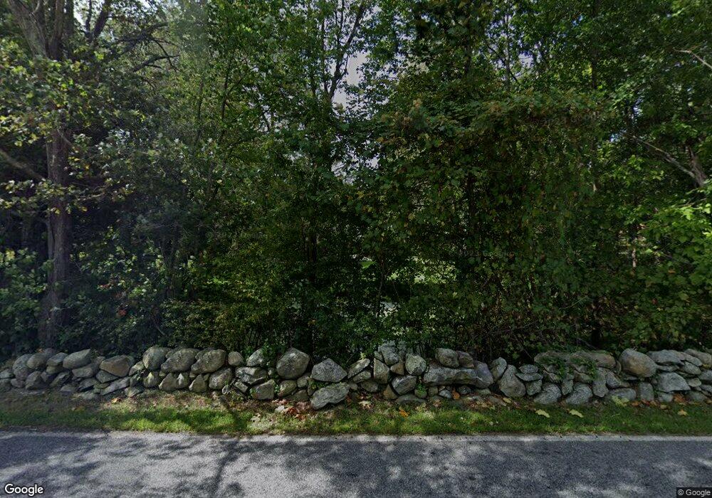
210 Western Ave Sherborn, MA 01770
Estimated Value: $773,000 - $1,156,000
3
Beds
2
Baths
1,895
Sq Ft
$476/Sq Ft
Est. Value
About This Home
This home is located at 210 Western Ave, Sherborn, MA 01770 and is currently estimated at $902,238, approximately $476 per square foot. 210 Western Ave is a home located in Middlesex County with nearby schools including Pine Hill Elementary School, Dover-Sherborn Regional Middle School, and Dover-Sherborn Regional High School.
Ownership History
Date
Name
Owned For
Owner Type
Purchase Details
Closed on
Aug 25, 2014
Sold by
Bethoney Joseph N and Bethoney Joseph N
Bought by
Dianne Polizzi Ret and Polizzi Dianne
Current Estimated Value
Purchase Details
Closed on
Jan 27, 1995
Sold by
Walsh Elizabeth L
Bought by
Bethoney Joseph N and Polizzi Diane
Create a Home Valuation Report for This Property
The Home Valuation Report is an in-depth analysis detailing your home's value as well as a comparison with similar homes in the area
Home Values in the Area
Average Home Value in this Area
Purchase History
| Date | Buyer | Sale Price | Title Company |
|---|---|---|---|
| Dianne Polizzi Ret | -- | -- | |
| Bethoney Joseph N | $250,000 | -- | |
| Dianne Polizzi Ret | -- | -- | |
| Bethoney Joseph N | $250,000 | -- |
Source: Public Records
Mortgage History
| Date | Status | Borrower | Loan Amount |
|---|---|---|---|
| Previous Owner | Bethoney Joseph N | $130,000 | |
| Previous Owner | Bethoney Joseph N | $227,000 | |
| Previous Owner | Bethoney Joseph N | $231,000 |
Source: Public Records
Tax History Compared to Growth
Tax History
| Year | Tax Paid | Tax Assessment Tax Assessment Total Assessment is a certain percentage of the fair market value that is determined by local assessors to be the total taxable value of land and additions on the property. | Land | Improvement |
|---|---|---|---|---|
| 2025 | $11,445 | $690,300 | $349,800 | $340,500 |
| 2024 | $11,414 | $673,400 | $292,300 | $381,100 |
| 2023 | $11,586 | $643,300 | $292,300 | $351,000 |
| 2022 | $11,066 | $581,500 | $265,700 | $315,800 |
| 2021 | $18,035 | $493,300 | $265,700 | $227,600 |
| 2020 | $9,352 | $480,600 | $265,700 | $214,900 |
| 2019 | $8,933 | $455,300 | $265,700 | $189,600 |
| 2018 | $8,421 | $436,300 | $265,700 | $170,600 |
| 2017 | $8,337 | $407,500 | $255,100 | $152,400 |
| 2016 | $8,382 | $407,500 | $255,100 | $152,400 |
| 2015 | $7,957 | $391,600 | $239,100 | $152,500 |
| 2014 | $7,172 | $352,600 | $212,600 | $140,000 |
Source: Public Records
Map
Nearby Homes
- 6 Brook St
- 151 Mohawk Path
- 18 Wildwood Dr
- 61 Old Orchard Rd
- 131 Jennings Rd
- 195 High St
- 95 Brooksmont Dr Unit 26
- 133 Brooksmont Dr Unit 43
- 2 Adams Rd Unit 2
- 1 Adams Rd
- 306 Trailside Way
- 9 Adams Rd
- 67 Spyglass Hill Dr
- 32 Colonial Way
- 59 Turner Rd
- 84 E Bluff Rd
- 63 Trailside Way Unit 63
- 147 Turner Rd Unit 80
- 56 Roy Ave
- 152 Turner Rd Unit 43
- 204 Western Ave
- 198 Western Ave
- 226 Western Ave
- 46 Pleasant St
- 46 Pleasant St
- 230 Western Ave
- 240 Western Ave
- 240 Western Ave Unit 1
- 190 Western Ave
- 234 Western Ave
- 32 Pleasant St
- 28 Pleasant St
- 236 Western Ave
- 180 Western Ave
- 18 Pleasant St
- 242 Western Ave
- 238 Western Ave
- 177 Maple St
- 24 Pleasant St
- 176 Western Ave
