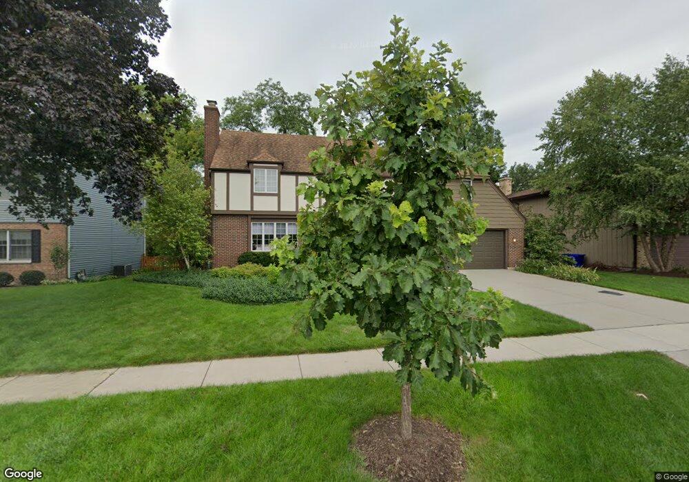
210 White Oak Dr Wheaton, IL 60187
West Wheaton NeighborhoodEstimated Value: $522,117 - $640,000
Studio
1
Bath
2,042
Sq Ft
$283/Sq Ft
Est. Value
About This Home
This home is located at 210 White Oak Dr, Wheaton, IL 60187 and is currently estimated at $578,029, approximately $283 per square foot. 210 White Oak Dr is a home located in DuPage County with nearby schools including Emerson Elementary School, Monroe Middle School, and Wheaton North High School.
Ownership History
Date
Name
Owned For
Owner Type
Purchase Details
Closed on
Sep 11, 2003
Sold by
Graber Terry and Graber Renee M
Bought by
Daniell Timothy H and Daniell Jean M
Current Estimated Value
Home Financials for this Owner
Home Financials are based on the most recent Mortgage that was taken out on this home.
Original Mortgage
$190,000
Outstanding Balance
$89,351
Interest Rate
6.44%
Mortgage Type
Purchase Money Mortgage
Estimated Equity
$488,678
Create a Home Valuation Report for This Property
The Home Valuation Report is an in-depth analysis detailing your home's value as well as a comparison with similar homes in the area
Home Values in the Area
Average Home Value in this Area
Purchase History
| Date | Buyer | Sale Price | Title Company |
|---|---|---|---|
| Daniell Timothy H | $371,000 | First American Title |
Source: Public Records
Mortgage History
| Date | Status | Borrower | Loan Amount |
|---|---|---|---|
| Open | Daniell Timothy H | $190,000 |
Source: Public Records
Tax History
| Year | Tax Paid | Tax Assessment Tax Assessment Total Assessment is a certain percentage of the fair market value that is determined by local assessors to be the total taxable value of land and additions on the property. | Land | Improvement |
|---|---|---|---|---|
| 2024 | $9,546 | $164,112 | $27,356 | $136,756 |
| 2023 | $9,127 | $151,060 | $25,180 | $125,880 |
| 2022 | $9,473 | $142,780 | $23,810 | $118,970 |
| 2021 | $9,441 | $139,390 | $23,240 | $116,150 |
| 2020 | $9,411 | $138,090 | $23,020 | $115,070 |
| 2019 | $9,195 | $134,440 | $22,410 | $112,030 |
| 2018 | $9,068 | $131,200 | $21,120 | $110,080 |
| 2017 | $8,933 | $126,360 | $20,340 | $106,020 |
| 2016 | $8,814 | $121,320 | $19,530 | $101,790 |
| 2015 | $8,746 | $115,740 | $18,630 | $97,110 |
| 2014 | $7,862 | $102,960 | $16,570 | $86,390 |
| 2013 | $7,660 | $103,270 | $16,620 | $86,650 |
Source: Public Records
Map
Nearby Homes
- 107 N Pierce Ave
- 615 Polo Dr
- 833 Parkside Dr
- 1478 Timber Trail Unit 15C
- 1474 Timber Trail Unit D
- 0N049 Page St
- 26W548 Prairie Ave
- 1110 S Gables Blvd
- 1974 Wexford Cir Unit 123
- 536 W Evergreen St
- 405 W Front St Unit 3207
- 0N105 Lot 1 Nepil Ave
- 0N105 Lot 2 Nepil Ave
- 1021 Greenwood Dr
- 522 S West St
- 27W073 Jewell Rd
- 1s050 Shaffner Rd
- 2043 Spring Green Dr
- 520 S Wheaton Ave
- 0S579 Robbins St
- 1762 Manchester Rd
- 206 White Oak Dr
- 214 White Oak Dr
- 1766 Manchester Rd
- 209 White Oak Dr
- 1745 Maple Leaf Ct
- 213 White Oak Dr
- 1725 Maple Leaf Ct
- 217 White Oak Dr
- 205 White Oak Dr
- 1770 Manchester Rd
- 1765 Maple Leaf Ct
- 201 White Oak Dr
- 1608 Manchester Rd
- 1830 Manchester Rd
- 210 N Pierce Ave
- 1810 Manchester Rd
- 135 White Oak Dr
- 206 N Pierce Ave
- 202 N Pierce Ave
Your Personal Tour Guide
Ask me questions while you tour the home.