2100 32nd St Port Huron, MI 48060
Estimated Value: $127,159
--
Bed
--
Bath
5,988
Sq Ft
$21/Sq Ft
Est. Value
About This Home
This home is located at 2100 32nd St, Port Huron, MI 48060 and is currently estimated at $127,159, approximately $21 per square foot. 2100 32nd St is a home located in St. Clair County with nearby schools including Michigamme Elementary School, Central Middle School, and Port Huron High School.
Ownership History
Date
Name
Owned For
Owner Type
Purchase Details
Closed on
Jan 9, 2024
Sold by
Blue Water Commercial Realty Investors L
Bought by
Jakubowski Dominic
Current Estimated Value
Purchase Details
Closed on
Feb 10, 2022
Sold by
Port Huron & Detroit Railroad Historical
Bought by
Blue Water Commercial Realty Investors Llc
Purchase Details
Closed on
Nov 19, 2008
Sold by
Frantz Ted C
Bought by
Dutrott Port Hurton and Port Huron Detroit Railroad Historical S
Purchase Details
Closed on
Apr 11, 2008
Sold by
Frantz Peter
Bought by
Frantz Ted C
Create a Home Valuation Report for This Property
The Home Valuation Report is an in-depth analysis detailing your home's value as well as a comparison with similar homes in the area
Home Values in the Area
Average Home Value in this Area
Purchase History
| Date | Buyer | Sale Price | Title Company |
|---|---|---|---|
| Jakubowski Dominic | $110,000 | None Listed On Document | |
| Blue Water Commercial Realty Investors Llc | $69,900 | Huron Title | |
| Dutrott Port Hurton | -- | Huron Title Company | |
| Frantz Ted C | -- | Huron Title Company |
Source: Public Records
Tax History Compared to Growth
Tax History
| Year | Tax Paid | Tax Assessment Tax Assessment Total Assessment is a certain percentage of the fair market value that is determined by local assessors to be the total taxable value of land and additions on the property. | Land | Improvement |
|---|---|---|---|---|
| 2025 | $2,204 | $54,300 | $0 | $0 |
| 2024 | $1,515 | $44,900 | $0 | $0 |
| 2023 | $1,420 | $39,300 | $0 | $0 |
| 2022 | $1,444 | $33,000 | $0 | $0 |
| 2021 | $1,342 | $32,100 | $0 | $0 |
| 2020 | $1,342 | $33,400 | $5,800 | $27,600 |
| 2019 | $740 | $13,000 | $0 | $0 |
| 2018 | $541 | $13,000 | $0 | $0 |
| 2017 | $529 | $11,000 | $0 | $0 |
| 2016 | $362 | $11,000 | $0 | $0 |
| 2015 | -- | $4,000 | $4,000 | $0 |
| 2014 | -- | $3,800 | $3,800 | $0 |
| 2013 | -- | $3,900 | $0 | $0 |
Source: Public Records
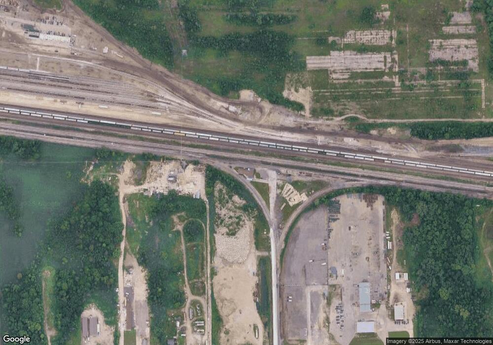
Map
Nearby Homes
- 2411 26th St
- Lot 3 24th St
- 1709 24th St
- 2023 23rd St
- 2203 VL Railroad St
- 2200 VL Railroad St
- 1811 23rd St
- 0 Dove Rd Unit G31368528
- 1502 23rd St
- 2627 24th St
- 3369 Dove Rd
- 1403 22nd St
- 3548 Cleveland St
- 1815 Griswold St
- 1424 19th St
- 1425 18th St
- VACANT Howard St
- 1426 18th St
- 9999 Cleveland Ave
- 1610 16th St
- 3302 Petit St
- 3212 Petit St
- 3290 Petit St
- 3308 Petit St
- 2931 Petit St
- 2931 Petit St
- 3360 Petit St
- 3382 Petit St
- 0 Petit St Unit R214012383
- 0 Petit St Unit R213004936
- 2724 Upton St
- 2722 Minnie St
- 2708 Upton St
- 2721 Minnie St
- V/L Griswold Rd
- VL Griswold Rd
- 2801 Petit St
- 2115 27th St
- 2717 Minnie St
- 2155 27th St