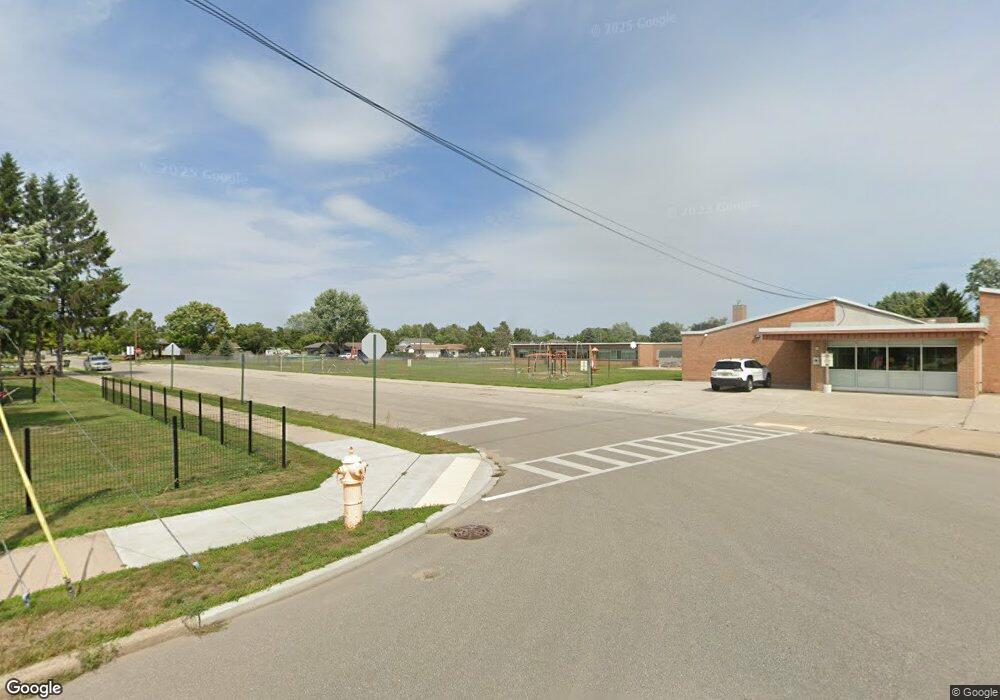
2100 7th Ave S Escanaba, MI 49829
Estimated Value: $117,000 - $185,000
3
Beds
1
Bath
1,332
Sq Ft
$107/Sq Ft
Est. Value
About This Home
This home is located at 2100 7th Ave S, Escanaba, MI 49829 and is currently estimated at $142,492, approximately $106 per square foot. 2100 7th Ave S is a home located in Delta County with nearby schools including Escanaba Jr./Sr. High School, Holy Name Catholic School, and Escanaba Sda School.
Ownership History
Date
Name
Owned For
Owner Type
Purchase Details
Closed on
Feb 18, 2009
Sold by
Green Tree Servicing Llc
Bought by
Brewster Timothy M
Current Estimated Value
Purchase Details
Closed on
Feb 22, 2008
Sold by
James James
Bought by
Green Tree Servicing L L C and Conseco Finance Servicing Corp
Purchase Details
Closed on
Dec 24, 1975
Sold by
Bourdeau James V and Bourdeau Margaret J
Bought by
Wendt Richard J and Wendt Sandra
Purchase Details
Closed on
Feb 9, 1973
Sold by
Bean Gordon K and Bean Dolores M
Bought by
Bourdeau James and Bourdeau Margaret J
Create a Home Valuation Report for This Property
The Home Valuation Report is an in-depth analysis detailing your home's value as well as a comparison with similar homes in the area
Home Values in the Area
Average Home Value in this Area
Purchase History
| Date | Buyer | Sale Price | Title Company |
|---|---|---|---|
| Brewster Timothy M | $26,000 | Minnesota Title Agency | |
| Green Tree Servicing L L C | $45,810 | -- | |
| Wendt Richard J | $19,000 | -- | |
| Bourdeau James | -- | -- |
Source: Public Records
Tax History Compared to Growth
Tax History
| Year | Tax Paid | Tax Assessment Tax Assessment Total Assessment is a certain percentage of the fair market value that is determined by local assessors to be the total taxable value of land and additions on the property. | Land | Improvement |
|---|---|---|---|---|
| 2025 | $1,402 | $41,100 | $0 | $0 |
| 2024 | $1,066 | $37,300 | $0 | $0 |
| 2023 | $1,016 | $34,200 | $0 | $0 |
| 2022 | $1,297 | $30,600 | $0 | $0 |
| 2021 | $1,295 | $36,600 | $0 | $0 |
| 2020 | $1,282 | $36,400 | $0 | $0 |
| 2019 | $1,242 | $29,700 | $0 | $0 |
| 2018 | $1,244 | $30,100 | $0 | $0 |
| 2017 | $908 | $29,441 | $0 | $0 |
| 2016 | $1,193 | $30,329 | $0 | $0 |
| 2014 | $870 | $28,465 | $0 | $0 |
| 2013 | $870 | $28,219 | $0 | $0 |
Source: Public Records
Map
Nearby Homes
- 2125 5th Ave S
- 1824 9th Ave S
- 1020 S 18th St
- 413 S 19th St
- 624 S 16th St
- E4639 E State Highway M35
- 308 S 19th St
- 2016 13th Ave S
- 514-516 S 15th
- 1930 S 22nd St
- 204 S 17th St
- 2414 Ludington St
- 1125 30th St S
- 0 E State Highway M35
- 615 S 31st St
- 201 N 16th St
- 1020 7th Ave S
- 513 S 32nd St
- 3215 6th Ave S
- 1407 1st Ave N
