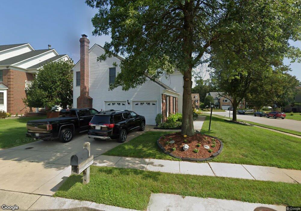
2100 Brink Ct Odenton, MD 21113
Estimated Value: $674,000 - $733,000
--
Bed
3
Baths
2,953
Sq Ft
$236/Sq Ft
Est. Value
About This Home
This home is located at 2100 Brink Ct, Odenton, MD 21113 and is currently estimated at $696,499, approximately $235 per square foot. 2100 Brink Ct is a home located in Anne Arundel County with nearby schools including Seven Oaks Elementary School, MacArthur Middle School, and Meade High School.
Ownership History
Date
Name
Owned For
Owner Type
Purchase Details
Closed on
Feb 16, 2001
Sold by
Homeside Lending Inc
Bought by
Hill Ronald and Hill Marguerite D
Current Estimated Value
Purchase Details
Closed on
Oct 20, 1999
Sold by
Lewis William C
Bought by
Homeside Lending Inc
Purchase Details
Closed on
Jun 17, 1992
Sold by
Winchester Homes Inc
Bought by
Lewis William C
Home Financials for this Owner
Home Financials are based on the most recent Mortgage that was taken out on this home.
Original Mortgage
$244,800
Interest Rate
8.54%
Create a Home Valuation Report for This Property
The Home Valuation Report is an in-depth analysis detailing your home's value as well as a comparison with similar homes in the area
Home Values in the Area
Average Home Value in this Area
Purchase History
| Date | Buyer | Sale Price | Title Company |
|---|---|---|---|
| Hill Ronald | $220,000 | -- | |
| Homeside Lending Inc | $211,500 | -- | |
| Lewis William C | $272,800 | -- |
Source: Public Records
Mortgage History
| Date | Status | Borrower | Loan Amount |
|---|---|---|---|
| Previous Owner | Lewis William C | $244,800 |
Source: Public Records
Tax History Compared to Growth
Tax History
| Year | Tax Paid | Tax Assessment Tax Assessment Total Assessment is a certain percentage of the fair market value that is determined by local assessors to be the total taxable value of land and additions on the property. | Land | Improvement |
|---|---|---|---|---|
| 2025 | $502 | $550,700 | $167,800 | $382,900 |
| 2024 | $502 | $516,600 | $0 | $0 |
| 2023 | $474 | $482,500 | $0 | $0 |
| 2022 | $430 | $448,400 | $146,100 | $302,300 |
| 2021 | $861 | $441,200 | $0 | $0 |
| 2020 | $4,927 | $434,000 | $0 | $0 |
| 2019 | $4,856 | $426,800 | $119,300 | $307,500 |
| 2018 | $4,228 | $417,000 | $0 | $0 |
| 2017 | $4,532 | $407,200 | $0 | $0 |
| 2016 | -- | $397,400 | $0 | $0 |
| 2015 | -- | $397,400 | $0 | $0 |
| 2014 | -- | $397,400 | $0 | $0 |
Source: Public Records
Map
Nearby Homes
- 2008 Bunker Hill Ct
- 2104 Commissary Cir
- 2139 Commissary Cir
- 2110 Commodore Ct
- 106 Pinecove Ave
- 178 Pinecove Ave
- 2242 Commissary Cir
- 2240 Canteen Cir
- 116 Langdon Farm Cir
- 146 Langdon Farm Cir
- 1937 Artillery Ln
- 322 Timberbrook Ct
- 330 Timberbrook Ct
- 224 Arcadia Shores Cir
- 1822 Dove Ct
- 319-F Eagles Landing Ct Unit 319F
- 1823 Graybird Ct
- 8311 Jacobs Rd W
- 1823 Jaybird Ct
- 8228 Monaegan Ct
- 2102 Brink Ct
- 2025 Brigadier Blvd
- 2027 Brigadier Blvd
- 2104 Brink Ct
- 105 Bunker Hill Ln
- 103 Bunker Hill Ln
- 2101 Brink Ct
- 2103 Brink Ct
- 2029 Brigadier Blvd
- 2023 Brigadier Blvd
- 107 Bunker Hill Ln
- 2106 Brink Ct
- 2105 Brink Ct
- 109 Bunker Hill Ln
- 110 Bunker Hill Ln
- 2000 Bunker Hill Ct
- 2031 Brigadier Blvd
- 2017 Brigadier Blvd
- 2108 Brink Ct
- 2107 Brink Ct