2100 Carroll Ln Dillon, MT 59725
Estimated Value: $380,000 - $700,475
2
Beds
2
Baths
1,843
Sq Ft
$293/Sq Ft
Est. Value
About This Home
This home is located at 2100 Carroll Ln, Dillon, MT 59725 and is currently estimated at $540,238, approximately $293 per square foot. 2100 Carroll Ln is a home located in Beaverhead County with nearby schools including Parkview School, Dillon Middle School, and Beaverhead Co High School.
Ownership History
Date
Name
Owned For
Owner Type
Purchase Details
Closed on
Jun 29, 2021
Sold by
Ehrenfried Daniel
Bought by
Box S Llc
Current Estimated Value
Home Financials for this Owner
Home Financials are based on the most recent Mortgage that was taken out on this home.
Original Mortgage
$362,500
Interest Rate
2.9%
Create a Home Valuation Report for This Property
The Home Valuation Report is an in-depth analysis detailing your home's value as well as a comparison with similar homes in the area
Purchase History
| Date | Buyer | Sale Price | Title Company |
|---|---|---|---|
| Box S Llc | -- | First American Title | |
| Box S Llc | -- | First American Title |
Source: Public Records
Mortgage History
| Date | Status | Borrower | Loan Amount |
|---|---|---|---|
| Closed | Box S Llc | $362,500 | |
| Closed | Box S Llc | $375,000 |
Source: Public Records
Tax History
| Year | Tax Paid | Tax Assessment Tax Assessment Total Assessment is a certain percentage of the fair market value that is determined by local assessors to be the total taxable value of land and additions on the property. | Land | Improvement |
|---|---|---|---|---|
| 2025 | $1,860 | $367,537 | $0 | $0 |
| 2024 | $2,579 | $382,193 | $0 | $0 |
| 2023 | $2,611 | $382,193 | $0 | $0 |
| 2022 | $2,218 | $255,666 | $0 | $0 |
| 2021 | $2,261 | $255,666 | $0 | $0 |
| 2020 | $3,154 | $244,401 | $0 | $0 |
| 2019 | $3,116 | $244,401 | $0 | $0 |
| 2018 | $2,083 | $223,079 | $0 | $0 |
| 2017 | -- | $223,079 | $0 | $0 |
| 2016 | -- | $222,897 | $0 | $0 |
| 2015 | -- | $222,897 | $0 | $0 |
| 2014 | -- | $133,791 | $0 | $0 |
Source: Public Records
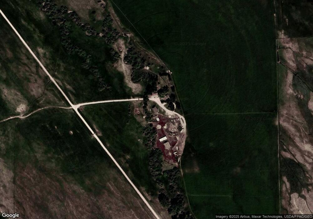
Map
Nearby Homes
- 4001 Adam's Ln
- TBD Bridger Ln
- 880 Chreston Ln
- 4237 Mt Highway 91 S Unit A-D
- 1070 Lovers Leap Rd
- 531 S Rife St
- 600 Blue Ribbon Ln
- 923 S Washington St
- 1325 Lovers Leap Rd
- 355 Meriwether Ln
- Blacktail Rd
- 325 S Railroad Ave
- 305 S Railroad Ave
- 315 S Railroad Ave
- 211 W Sebree St
- 710 Gamblers Run
- 434 E Dillon St
- 335 Expedition Dr
- 35 E Bannack St
- 606 S Arizona St
Your Personal Tour Guide
Ask me questions while you tour the home.