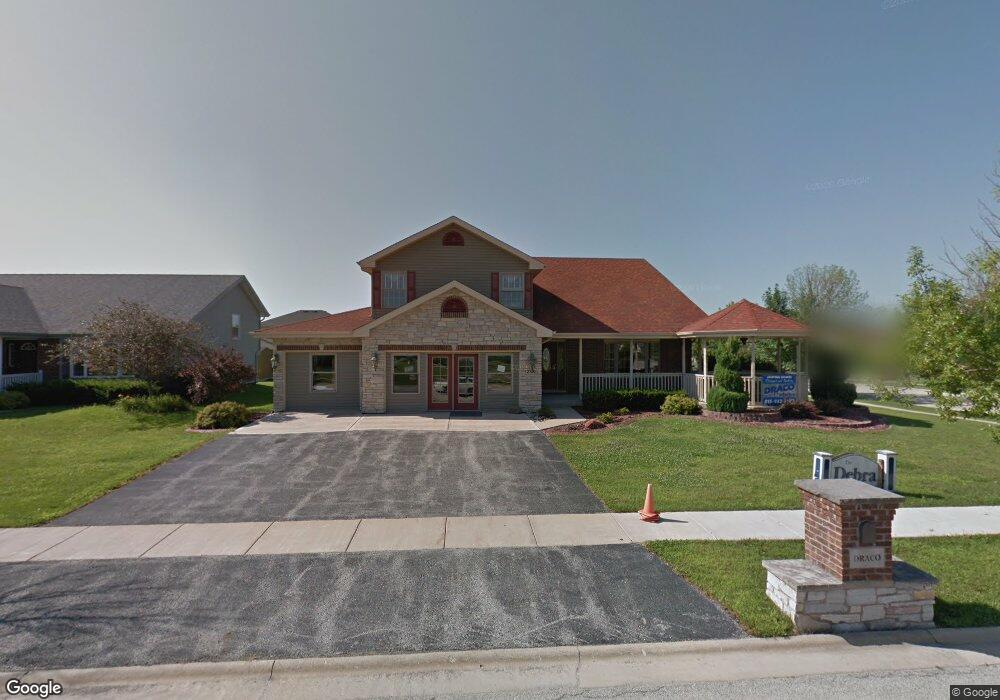
2100 Debra Ct Bourbonnais, IL 60914
Bradley AreaEstimated Value: $386,000 - $406,708
About This Home
This home is located at 2100 Debra Ct, Bourbonnais, IL 60914 and is currently estimated at $400,427, approximately $162 per square foot. 2100 Debra Ct is a home located in Kankakee County with nearby schools including St George Elementary School, Bradley-Bourbonnais Community High School, and Kankakee Valley Montessori School.
Ownership History
We collect this data history from publicly available records. To have your information removed, we recommend requesting removal directly through your county’s website.
Purchase Details
Purchase Details
Home Financials for this Owner
Home Financials are based on the most recent Mortgage that was taken out on this home.Home Values in the Area
Average Home Value in this Area
Purchase History
We collect this data history from publicly available records. To have your information removed, we recommend requesting removal directly through your county’s website.
| Date | Buyer | Sale Price | Title Company |
|---|---|---|---|
| $358,000 | Standard Title | ||
| $300,000 | Kankakee County Title |
Mortgage History
We collect this data history from publicly available records. To have your information removed, we recommend requesting removal directly through your county’s website.
| Date | Status | Borrower | Loan Amount |
|---|---|---|---|
| Previous Owner | $290,000 |
Tax History
We collect this data history from publicly available records. To have your information removed, we recommend requesting removal directly through your county’s website.
| Year | Tax Paid | Tax Assessment Tax Assessment Total Assessment is a certain percentage of the fair market value that is determined by local assessors to be the total taxable value of land and additions on the property. | Land | Improvement |
|---|---|---|---|---|
| 2025 | $7,865 | $119,496 | $9,276 | $110,220 |
| 2024 | $7,865 | $109,703 | $8,751 | $100,952 |
| 2023 | $7,659 | $101,577 | $8,103 | $93,474 |
| 2022 | $8,033 | $95,699 | $8,658 | $87,041 |
| 2021 | $7,904 | $91,924 | $8,467 | $83,457 |
| 2020 | $7,418 | $87,870 | $8,240 | $79,630 |
| 2019 | $7,114 | $79,432 | $7,443 | $71,989 |
| 2018 | $616 | $77,759 | $6,834 | $70,925 |
| 2017 | $629 | $76,368 | $6,834 | $69,534 |
| 2016 | $626 | $76,368 | $6,834 | $69,534 |
| 2015 | $624 | $74,262 | $6,766 | $67,496 |
| 2014 | $604 | $74,262 | $6,766 | $67,496 |
Map
- 1873 Claire Dr
- 2254 Trappers Ln
- 1706 Terramere Dr
- 1683 Arbor Dr
- 1682 Bridle Ct
- 1684 Derby Dr
- 1626 Amhurst Way
- 1602 Amhurst Way
- 100 Northbrooke Dr
- 1572 Cardinal Dr
- 1486 Bradley Way
- 1478 Bradley Way
- 1353 Georgetown Dr
- 2359 E 5000n Rd
- 1331 Potomac Place
- 1085 Mallard Dr
- 1521 Lady Brunetta Rd
- 1511 Lady Brunetta Rd
- 1325 N Arthur Burch Dr Unit B10
- 1325 N Arthur Burch Dr Unit C10
- 2128 Debra Ct
- 2124 Debra Ct
- 2129 Willow Brook Dr
- 2117 Willow Brook Dr
- 2120 Debra Ct
- 2104 Debra Ct
- 2105 Willow Brook Dr
- 2093 Willow Brook Dr
- 2108 Debra Ct
- 2116 Debra Ct
- 2096 Laura Ct
- 2092 Laura Ct
- 2081 Willow Brook Dr
- 2112 Debra Ct
- 2088 Laura Ct
- 2068 Laura Ct
- 2036 Laura Ct
- 2626 E 4000n Rd
- 2059 Willow Brook Dr
- 2040 Laura Ct
Ask me questions while you tour the home.