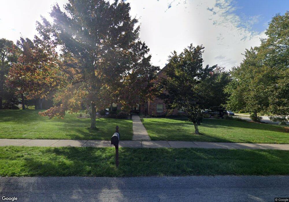
2100 Farm View Dr Coraopolis, PA 15108
Estimated Value: $559,000 - $824,000
4
Beds
3
Baths
2,340
Sq Ft
$268/Sq Ft
Est. Value
About This Home
This home is located at 2100 Farm View Dr, Coraopolis, PA 15108 and is currently estimated at $627,697, approximately $268 per square foot. 2100 Farm View Dr is a home located in Allegheny County with nearby schools including Moon Area High School, Montessori Children's Community, and St James Elementary School.
Ownership History
Date
Name
Owned For
Owner Type
Purchase Details
Closed on
Aug 30, 2008
Sold by
Lynch Robert Dale
Bought by
Ashcroft David
Current Estimated Value
Home Financials for this Owner
Home Financials are based on the most recent Mortgage that was taken out on this home.
Original Mortgage
$300,000
Outstanding Balance
$199,733
Interest Rate
6.54%
Mortgage Type
New Conventional
Estimated Equity
$427,964
Purchase Details
Closed on
Jan 21, 1999
Sold by
Makoroff Stanley G and Disante Anthony F
Bought by
Lynch Robert Dale and Lynch Anne D
Purchase Details
Closed on
Jan 1, 1900
Create a Home Valuation Report for This Property
The Home Valuation Report is an in-depth analysis detailing your home's value as well as a comparison with similar homes in the area
Home Values in the Area
Average Home Value in this Area
Purchase History
| Date | Buyer | Sale Price | Title Company |
|---|---|---|---|
| Ashcroft David | $375,000 | -- | |
| Lynch Robert Dale | $255,000 | -- | |
| -- | -- | -- |
Source: Public Records
Mortgage History
| Date | Status | Borrower | Loan Amount |
|---|---|---|---|
| Open | Ashcroft David | $300,000 |
Source: Public Records
Tax History Compared to Growth
Tax History
| Year | Tax Paid | Tax Assessment Tax Assessment Total Assessment is a certain percentage of the fair market value that is determined by local assessors to be the total taxable value of land and additions on the property. | Land | Improvement |
|---|---|---|---|---|
| 2025 | $8,814 | $282,000 | $75,000 | $207,000 |
| 2024 | $8,814 | $282,000 | $75,000 | $207,000 |
| 2023 | $8,501 | $282,000 | $75,000 | $207,000 |
| 2022 | $8,501 | $282,000 | $75,000 | $207,000 |
| 2021 | $8,798 | $282,000 | $75,000 | $207,000 |
| 2020 | $8,288 | $282,000 | $75,000 | $207,000 |
| 2019 | $8,062 | $282,000 | $75,000 | $207,000 |
| 2018 | $1,334 | $282,000 | $75,000 | $207,000 |
| 2017 | $7,622 | $282,000 | $75,000 | $207,000 |
| 2016 | $1,334 | $282,000 | $75,000 | $207,000 |
| 2015 | $1,334 | $282,000 | $75,000 | $207,000 |
| 2014 | $7,422 | $282,000 | $75,000 | $207,000 |
Source: Public Records
Map
Nearby Homes
- 2028 Broad Hill Farms Rd
- 1490 Olde Stable Ln
- 1514 Laurel Ridge Dr
- 1558 Parkwood Pointe Dr
- 1556 Parkwood Pointe Dr
- 7 Mcgovern Blvd
- 258 Spring Run Rd
- 603 Meade Dr
- 178 Elk Ridge Dr
- 540 Henggi Dr
- Wexford with Finished Basement Plan at Elk Ridge
- 1206 Crescent Boulevard Extension
- 42 Mcgovern Blvd
- 51 Mcgovern Blvd
- 208 Lochinver Dr
- 73 Mcgovern Blvd
- 694 Oak St
- 103 Victoria Dr
- Lot 3 Brodhead Rd
- Lot 2 Brodhead Rd
- 2017 Broad Hill Farms Rd
- 2500 Minton Dr
- 2016 Broad Hill Farms Rd
- 2502 Minton Dr
- 2013 Broad Hill Farms Rd
- 2019 Broad Hill Farms Rd
- 2014 Broad Hill Farms Rd
- 2601 Barnes Dr
- 2018 Broad Hill Farms Rd
- 2504 Minton Dr
- 2012 Broad Hill Farms Rd
- 2021 Broad Hill Farms Rd
- 2506 Minton Dr
- 2603 Barnes Dr
- 2020 Broad Hill Farms Rd
- 2011 Broad Hill Farms Rd
- 2508 Minton Dr
- 2503 Minton Dr
- 2010 Broad Hill Farms Rd
- 2600 Barnes Dr