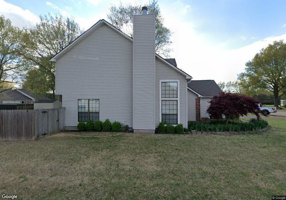
2100 Greg Cir Newport, AR 72112
Estimated Value: $180,244 - $203,000
--
Bed
3
Baths
2,290
Sq Ft
$85/Sq Ft
Est. Value
About This Home
This home is located at 2100 Greg Cir, Newport, AR 72112 and is currently estimated at $195,311, approximately $85 per square foot. 2100 Greg Cir is a home located in Jackson County with nearby schools including Newport Elementary School and Newport High School.
Ownership History
Date
Name
Owned For
Owner Type
Purchase Details
Closed on
Jun 15, 2005
Bought by
Bright Larry D and Bright Beth L
Current Estimated Value
Purchase Details
Closed on
May 9, 2001
Bought by
Hollis Curtis W and Hollis Monica A
Purchase Details
Closed on
Mar 1, 1994
Bought by
Brannon Greg and % First Fin Bank Of El Dorado
Purchase Details
Closed on
Dec 7, 1992
Bought by
Fisk Dennis and Fisk Janice F
Purchase Details
Closed on
May 1, 1991
Bought by
Duncan Darryl L and Duncan Shelley R
Create a Home Valuation Report for This Property
The Home Valuation Report is an in-depth analysis detailing your home's value as well as a comparison with similar homes in the area
Home Values in the Area
Average Home Value in this Area
Purchase History
| Date | Buyer | Sale Price | Title Company |
|---|---|---|---|
| Bright Larry D | $125,000 | -- | |
| Hollis Curtis W | $110,000 | -- | |
| Brannon Greg | $93,000 | -- | |
| Fisk Dennis | $89,000 | -- | |
| Duncan Darryl L | $91,000 | -- |
Source: Public Records
Tax History Compared to Growth
Tax History
| Year | Tax Paid | Tax Assessment Tax Assessment Total Assessment is a certain percentage of the fair market value that is determined by local assessors to be the total taxable value of land and additions on the property. | Land | Improvement |
|---|---|---|---|---|
| 2024 | $991 | $35,140 | $2,600 | $32,540 |
| 2023 | $995 | $27,310 | $1,200 | $26,110 |
| 2022 | $1,101 | $27,310 | $1,200 | $26,110 |
| 2021 | $1,074 | $27,310 | $1,200 | $26,110 |
| 2020 | $1,074 | $27,310 | $1,200 | $26,110 |
| 2019 | $1,074 | $27,310 | $1,200 | $26,110 |
| 2018 | $1,006 | $26,590 | $1,200 | $25,390 |
| 2017 | $1,006 | $26,590 | $1,200 | $25,390 |
| 2015 | -- | $26,590 | $1,200 | $25,390 |
| 2014 | -- | $26,590 | $1,200 | $25,390 |
| 2013 | -- | $28,000 | $2,000 | $26,000 |
| 2012 | -- | $28,000 | $2,000 | $26,000 |
Source: Public Records
Map
Nearby Homes
- 2208 John Cir
- 0 Robinson Rd
- 1212 Graceland Dr
- 2412 Linwood St
- 1217 Cherokee Dr
- 2001 S Main St
- 1319 Cindy Ln
- 1620 Brookfield Cir
- 2708 Robinson St
- 2600 Hollywood St
- 2701 S Main St
- 900 Josephine St
- 1714 Dill St
- 1407 Dill St
- 203 Alice Ct
- 1311 Dill St
- 721 Mclain St
- 1801 Hines St
- 1900 Hines St
- 604 Mclain St