2100 Homestead Rd Todd, NC 28684
Todd NeighborhoodEstimated Value: $565,000 - $706,000
--
Bed
--
Bath
2,296
Sq Ft
$274/Sq Ft
Est. Value
About This Home
This home is located at 2100 Homestead Rd, Todd, NC 28684 and is currently estimated at $628,779, approximately $273 per square foot. 2100 Homestead Rd is a home with nearby schools including Ashe County High School.
Ownership History
Date
Name
Owned For
Owner Type
Purchase Details
Closed on
May 19, 2022
Sold by
Bednar Gregory M and Bednar Carol D
Bought by
Gregory And Carol Bednar Living Trust
Current Estimated Value
Purchase Details
Closed on
Jan 3, 2011
Sold by
Lee Julius W and Lee Pamela A
Bought by
Bednar Gregory M and Bednar Carol D
Home Financials for this Owner
Home Financials are based on the most recent Mortgage that was taken out on this home.
Original Mortgage
$263,200
Interest Rate
4.42%
Mortgage Type
New Conventional
Create a Home Valuation Report for This Property
The Home Valuation Report is an in-depth analysis detailing your home's value as well as a comparison with similar homes in the area
Home Values in the Area
Average Home Value in this Area
Purchase History
| Date | Buyer | Sale Price | Title Company |
|---|---|---|---|
| Gregory And Carol Bednar Living Trust | -- | Lisa M Joyce Law Pa | |
| Bednar Gregory M | $329,000 | -- |
Source: Public Records
Mortgage History
| Date | Status | Borrower | Loan Amount |
|---|---|---|---|
| Previous Owner | Bednar Gregory M | $263,200 |
Source: Public Records
Tax History Compared to Growth
Tax History
| Year | Tax Paid | Tax Assessment Tax Assessment Total Assessment is a certain percentage of the fair market value that is determined by local assessors to be the total taxable value of land and additions on the property. | Land | Improvement |
|---|---|---|---|---|
| 2025 | $2,410 | $459,900 | $70,000 | $389,900 |
| 2024 | $2,226 | $459,900 | $70,000 | $389,900 |
| 2023 | $2,226 | $459,900 | $70,000 | $389,900 |
| 2022 | $1,706 | $288,200 | $70,000 | $218,200 |
| 2021 | $1,706 | $288,200 | $70,000 | $218,200 |
| 2020 | $1,513 | $288,200 | $70,000 | $218,200 |
| 2019 | $1,446 | $288,200 | $70,000 | $218,200 |
| 2018 | $1,318 | $264,000 | $70,000 | $194,000 |
| 2016 | $1,318 | $264,000 | $70,000 | $194,000 |
| 2015 | $1,110 | $264,000 | $70,000 | $194,000 |
| 2014 | $1,110 | $234,900 | $60,000 | $174,900 |
Source: Public Records
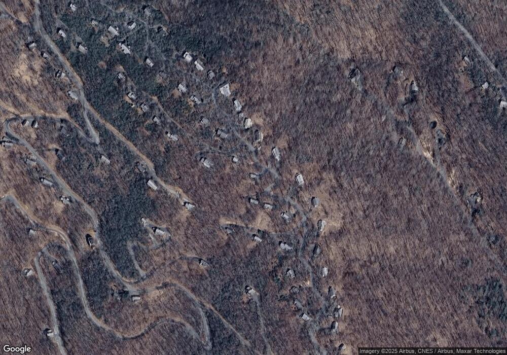
Map
Nearby Homes
- 2177 Homestead Rd
- 238 Crooked Arrow Dr
- 744 Tomahawk Dr
- 2385 Homestead Rd
- 1810 Homestead Rd
- 1403 Tomahawk Dr
- TBD Maple Tree Ln
- 21 Pinnacle Dr
- 222 W Big Tree Rd
- 211 Maple Tree Ln
- 262 Homestead Rd
- TBD Crown Point Rd
- TBD Lot #35 Crown Oak Ln
- Lot 29 Crown Maple Ln
- TBD Lot #36 Crown Oak Ln
- none Stony Fork Rd
- Lot 38 Crown Spruce Ln
- 682 Stonebridge Ln
- 600 W Big Tree Rd
- unk Maple Branch Rd
- 115 Sundance Rd
- 2138 Homestead Rd
- 2099 Homestead Rd
- 2174 Homestead Rd
- 2069 Homestead Rd
- 143 Sundance Rd
- 2180 Homestead Rd
- 2045 Homestead Rd
- 189 Kenteaga Rd
- 139 Kenteaga Rd
- 2215 Homestead Rd
- 262 Crooked Arrow Dr
- 1992 Homestead Rd
- 2015 Homestead Rd
- 2241 Homestead Rd
- 199 Sundance Rd
- 1972 Homestead Rd
- 2279 Homestead Rd
- 1975 Homestead Rd
- 721 Tomahawk Dr