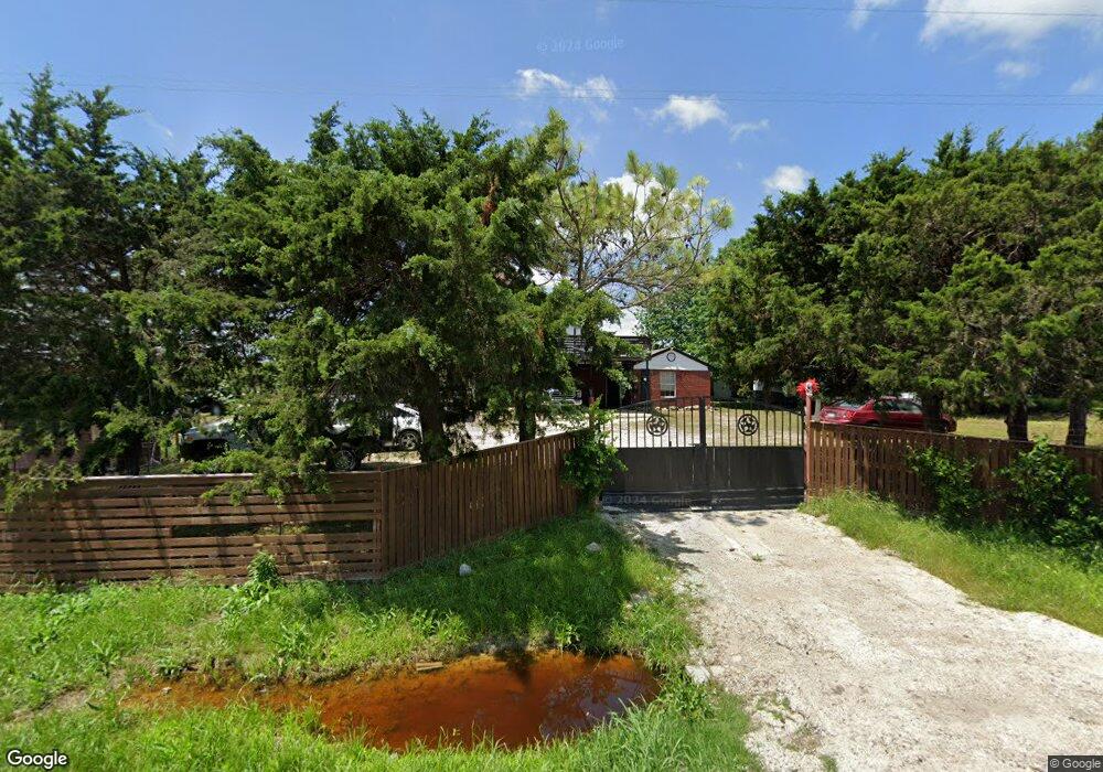
2100 Liberty Dr Corsicana, TX 75110
Estimated Value: $204,000 - $434,000
3
Beds
1
Bath
1,146
Sq Ft
$243/Sq Ft
Est. Value
About This Home
This home is located at 2100 Liberty Dr, Corsicana, TX 75110 and is currently estimated at $278,751, approximately $243 per square foot. 2100 Liberty Dr is a home located in Navarro County with nearby schools including Corsicana High School.
Ownership History
Date
Name
Owned For
Owner Type
Purchase Details
Closed on
Oct 10, 2023
Sold by
Ascencio Alfredo
Bought by
Cano Juan Carlos Muril and Cano Mayra Angelina
Current Estimated Value
Purchase Details
Closed on
Sep 8, 2023
Sold by
Ramirez Alicia A
Bought by
Ramirez Alfredo A
Purchase Details
Closed on
Jun 10, 2020
Sold by
Ramirez Alfredo Ascencio
Bought by
Ramirez Alicia Ascencio
Purchase Details
Closed on
Feb 3, 2018
Sold by
Ascencio Mrs Lidia Ramriez
Bought by
Ascencio Mr Alfredo Ramirez
Purchase Details
Closed on
Aug 4, 2014
Sold by
Avoue Marchand Investments Inc
Bought by
Covefi Investments Llc
Purchase Details
Closed on
Jul 29, 2014
Sold by
Deutsche Bank National Trust Co
Bought by
Avoue Marchand Investments Inc
Create a Home Valuation Report for This Property
The Home Valuation Report is an in-depth analysis detailing your home's value as well as a comparison with similar homes in the area
Home Values in the Area
Average Home Value in this Area
Purchase History
| Date | Buyer | Sale Price | Title Company |
|---|---|---|---|
| Cano Juan Carlos Muril | -- | None Listed On Document | |
| Ramirez Alfredo A | -- | None Listed On Document | |
| Ramirez Alicia Ascencio | -- | None Available | |
| Ascencio Mr Alfredo Ramirez | -- | None Available | |
| Covefi Investments Llc | -- | None Available | |
| Avoue Marchand Investments Inc | -- | None Available |
Source: Public Records
Mortgage History
| Date | Status | Borrower | Loan Amount |
|---|---|---|---|
| Closed | Covefi Investments Llc | $0 |
Source: Public Records
Tax History Compared to Growth
Tax History
| Year | Tax Paid | Tax Assessment Tax Assessment Total Assessment is a certain percentage of the fair market value that is determined by local assessors to be the total taxable value of land and additions on the property. | Land | Improvement |
|---|---|---|---|---|
| 2025 | $5,233 | $276,350 | $121,150 | $155,200 |
| 2024 | $3,998 | $211,150 | $75,200 | $135,950 |
| 2023 | $4,557 | $246,870 | $100,070 | $146,800 |
| 2022 | $3,967 | $171,330 | $62,790 | $108,540 |
| 2021 | $3,058 | $117,630 | $38,060 | $79,570 |
| 2020 | $3,245 | $122,280 | $38,060 | $84,220 |
| 2019 | $3,157 | $114,950 | $38,060 | $76,890 |
| 2018 | $2,948 | $107,340 | $30,450 | $76,890 |
| 2017 | $2,385 | $86,970 | $26,640 | $60,330 |
| 2016 | $2,261 | $82,450 | $20,390 | $62,060 |
| 2015 | -- | $62,870 | $16,150 | $46,720 |
| 2014 | -- | $65,580 | $16,150 | $49,430 |
Source: Public Records
Map
Nearby Homes
- Lot 3-2 Hwy 31 Bypass
- Tract 129C Hwy 31 Bypass
- 5521 Monte Carlo St
- 1031 Liberty Dr
- 1010 Oak Valley Ln
- 114 Trailridge Dr
- TBD US Hwy 287
- 4329 W Park Row Blvd Unit 46A
- 3917 Skyhawk Ave
- 308 Seminole St
- 304 Seminole St
- TBD County Road 2004
- 404 Seratoga St
- 328 Seratoga St
- 9999 S 45th St
- 205 Seratoga St
- 3227 NW County Road 2004
- 3848 Skylane Ave
- 3808 Pilatus Ave
- 3813 Skylane Ave
- 2004 Liberty Dr
- 2000 Liberty Dr
- 5409 Payne St
- 5417 Payne St
- 5449 Payne St
- 2700 Liberty Dr
- 5423 Payne St
- 5418 Monte Carlo St
- 5445 Payne St
- 5425 Payne St
- 5501 Payne St
- 5408 Payne St
- 5416 Payne St
- 0000 Payne St
- 5450 Payne St
- 5426 Payne St
- TBD Track 5 SW Cr-1090
- Tract 4 SW Cr-1090
- 2560 SW Cr-1090
- 5440 Payne St