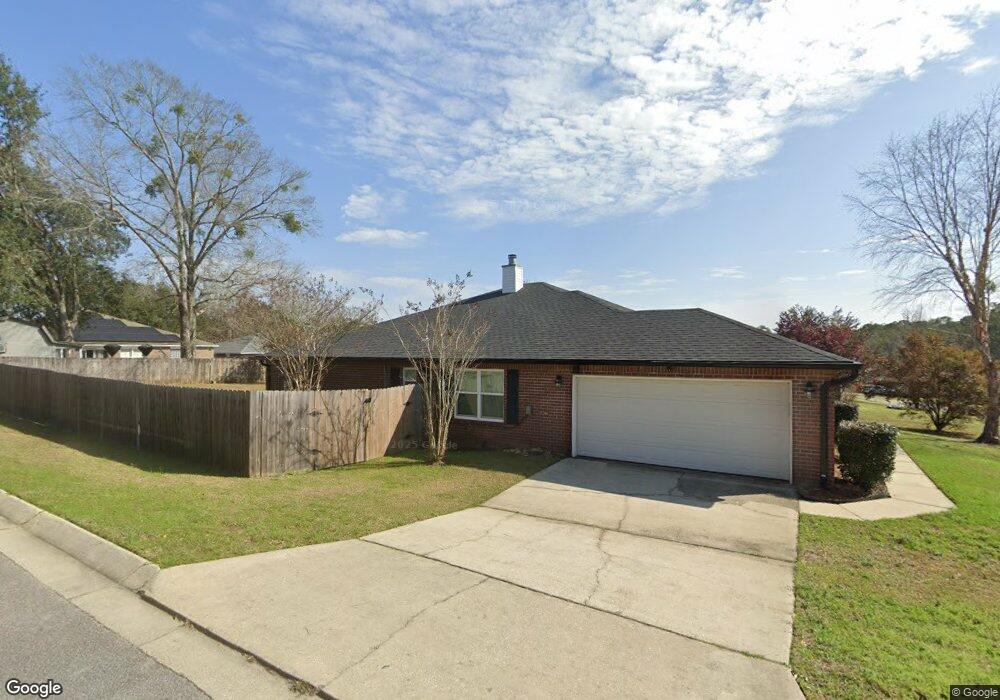
2100 Liberty Loop Rd Unit 1D Cantonment, FL 32533
Estimated Value: $328,000 - $343,000
About This Home
This home is located at 2100 Liberty Loop Rd Unit 1D, Cantonment, FL 32533 and is currently estimated at $335,650, approximately $150 per square foot. 2100 Liberty Loop Rd Unit 1D is a home located in Escambia County with nearby schools including R.C. Lipscomb Elementary School, Ransom Middle School, and J.M. Tate Senior High School.
Ownership History
We collect this data history from publicly available records. To have your information removed, we recommend requesting removal directly through your county’s website.
Purchase Details
Home Financials for this Owner
Home Financials are based on the most recent Mortgage that was taken out on this home.Purchase Details
Home Financials for this Owner
Home Financials are based on the most recent Mortgage that was taken out on this home.Home Values in the Area
Average Home Value in this Area
Purchase History
We collect this data history from publicly available records. To have your information removed, we recommend requesting removal directly through your county’s website.
| Date | Buyer | Sale Price | Title Company |
|---|---|---|---|
| $196,000 | Attorney | ||
| $184,000 | Guarantee Title Of Nw Fl Inc |
Mortgage History
We collect this data history from publicly available records. To have your information removed, we recommend requesting removal directly through your county’s website.
| Date | Status | Borrower | Loan Amount |
|---|---|---|---|
| Open | $200,214 | ||
| Previous Owner | $87,000 |
Tax History
We collect this data history from publicly available records. To have your information removed, we recommend requesting removal directly through your county’s website.
| Year | Tax Paid | Tax Assessment Tax Assessment Total Assessment is a certain percentage of the fair market value that is determined by local assessors to be the total taxable value of land and additions on the property. | Land | Improvement |
|---|---|---|---|---|
| 2025 | $4,120 | $303,951 | $30,000 | $273,951 |
| 2024 | $4,067 | $301,318 | $30,000 | $271,318 |
| 2023 | $4,067 | $289,781 | $30,000 | $259,781 |
| 2022 | $1,808 | $158,652 | $0 | $0 |
| 2021 | $1,798 | $154,032 | $0 | $0 |
| 2020 | $1,752 | $151,906 | $0 | $0 |
| 2019 | $1,720 | $148,491 | $0 | $0 |
| 2018 | $1,715 | $145,723 | $0 | $0 |
| 2017 | $1,709 | $142,726 | $0 | $0 |
| 2016 | $1,717 | $139,791 | $0 | $0 |
| 2015 | $1,630 | $138,820 | $0 | $0 |
| 2014 | $1,622 | $137,719 | $0 | $0 |
Map
- 1450 Longbranch Dr
- 2165 Liberty Loop Rd
- 2184 Liberty Loop Rd
- 1363 Water Oaks Trail
- 2162 Old Chemstrand Rd
- 2290 Old Chemstrand Rd
- 1764 Condor Dr
- 1794 Condor Dr
- 1729 Condor Dr
- 1405 Warbler Terrace
- 1548 Pelican Point Dr
- 1172 New Haven Dr
- 1087 New Haven Dr
- 993 New Haven Dr
- Lot 6 Bradley Blvd
- Lot 7 Bradley Blvd
- Lot 9 Bradley Blvd
- Lot 8 Bradley Blvd
- 1412 Colwyn Dr
- 446 Turnberry Rd
- 2100 Liberty Loop Rd
- 2106 Liberty Loop Rd
- 0 Longbranch Dr Unit 348389
- 0 Longbranch Dr Unit 7F 352068
- 0 Longbranch Dr Unit 2U 352257
- 0 Longbranch Dr Unit 2U 352346
- 0 Longbranch Dr Unit 1A 359131
- 0 Longbranch Dr Unit 361487
- 0 Longbranch Dr Unit 1H 362054
- 0 Longbranch Dr Unit 5E 362064
- 0 Longbranch Dr Unit 6E 362063
- 0 Longbranch Dr Unit 2E 362062
- 0 Longbranch Dr Unit 3E 362061
- 0 Longbranch Dr Unit 14G 362060
- 0 Longbranch Dr Unit 1E 362057
- 0 Longbranch Dr Unit 7E 362161
- 0 Longbranch Dr Unit 11E 362158
- 0 Longbranch Dr Unit 13E 362341
- 0 Longbranch Dr Unit 10G 362345
- 0 Longbranch Dr Unit 2U 362630
Ask me questions while you tour the home.