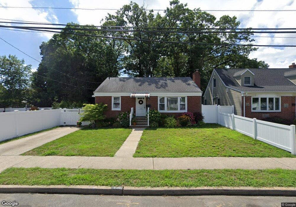
2100 Lindgren St Merrick, NY 11566
Estimated Value: $686,000 - $707,681
3
Beds
1
Bath
1,183
Sq Ft
$589/Sq Ft
Est. Value
About This Home
This home is located at 2100 Lindgren St, Merrick, NY 11566 and is currently estimated at $696,841, approximately $589 per square foot. 2100 Lindgren St is a home located in Nassau County with nearby schools including Merrick Avenue Middle School, Sanford H Calhoun High School, and Grace Christian Academy.
Ownership History
Date
Name
Owned For
Owner Type
Purchase Details
Closed on
Jan 28, 2020
Sold by
2100 Lindgren Llc
Bought by
Hodson Michael S and Hodson Sharon L
Current Estimated Value
Home Financials for this Owner
Home Financials are based on the most recent Mortgage that was taken out on this home.
Original Mortgage
$384,750
Outstanding Balance
$341,443
Interest Rate
3.72%
Mortgage Type
New Conventional
Estimated Equity
$355,398
Purchase Details
Closed on
Apr 18, 2012
Sold by
Laine Donald R and Laine Albert B
Bought by
2100 Lindgren Llc
Create a Home Valuation Report for This Property
The Home Valuation Report is an in-depth analysis detailing your home's value as well as a comparison with similar homes in the area
Home Values in the Area
Average Home Value in this Area
Purchase History
| Date | Buyer | Sale Price | Title Company |
|---|---|---|---|
| Hodson Michael S | $405,000 | Chicago Title | |
| 2100 Lindgren Llc | $210,000 | Any20127525s |
Source: Public Records
Mortgage History
| Date | Status | Borrower | Loan Amount |
|---|---|---|---|
| Open | Hodson Michael S | $384,750 |
Source: Public Records
Tax History
| Year | Tax Paid | Tax Assessment Tax Assessment Total Assessment is a certain percentage of the fair market value that is determined by local assessors to be the total taxable value of land and additions on the property. | Land | Improvement |
|---|---|---|---|---|
| 2025 | $12,962 | $439 | $224 | $215 |
| 2024 | $3,007 | $439 | $224 | $215 |
Source: Public Records
Map
Nearby Homes
- 29 Babylon Turnpike
- 160 Bedford Ave
- 1811 Bedford Ave
- 2203 Washington St
- 221 Thelma Ave
- 236 Thelma Ave
- 1931 Miller Place
- 1729 Gormley Ave
- 1911 Carroll Ave
- 80 Dobson Ave
- 2341 Dobson Ave
- 45 Gregory Ave
- 131 Gregory Ave
- 1741 Bushwick Ave
- 24 Loines Ave
- 33 Willow Ave
- 16 Margaret Blvd
- 1763 E Berkshire Rd
- 241 Commercial St
- 19 Margaret Blvd
Your Personal Tour Guide
Ask me questions while you tour the home.