2100 Malcom Bridge Rd Bogart, GA 30622
Estimated Value: $664,000 - $1,160,220
--
Bed
--
Bath
2,108
Sq Ft
$395/Sq Ft
Est. Value
About This Home
This home is located at 2100 Malcom Bridge Rd, Bogart, GA 30622 and is currently estimated at $833,073, approximately $395 per square foot. 2100 Malcom Bridge Rd is a home located in Oconee County with nearby schools including Malcom Bridge Elementary School, Malcom Bridge Middle School, and North Oconee High School.
Ownership History
Date
Name
Owned For
Owner Type
Purchase Details
Closed on
Feb 19, 2021
Sold by
Farmer Mitchell Christie
Bought by
Irrev Trust Of Judy Lenora Farmer
Current Estimated Value
Purchase Details
Closed on
Jan 11, 2021
Sold by
Irrevocable Trust Of Judy Lenora Farmer
Bought by
Mitchell Christie Farmer and Mitchell Russell Norman
Purchase Details
Closed on
Aug 12, 2020
Sold by
Farmer Judy Lenora
Bought by
Irrevocable Trust Of Judy Lenora Farmer
Purchase Details
Closed on
Dec 16, 2019
Sold by
Farmer Bobby J
Bought by
Farmer Judy Lenora
Purchase Details
Closed on
Sep 22, 2016
Sold by
Bobby J
Bought by
Farmer Bobby J and Farmer Judy L
Create a Home Valuation Report for This Property
The Home Valuation Report is an in-depth analysis detailing your home's value as well as a comparison with similar homes in the area
Home Values in the Area
Average Home Value in this Area
Purchase History
| Date | Buyer | Sale Price | Title Company |
|---|---|---|---|
| Irrev Trust Of Judy Lenora Farmer | -- | -- | |
| Mitchell Christie Farmer | -- | -- | |
| Irrevocable Trust Of Judy Lenora Farmer | -- | -- | |
| Farmer Judy Lenora | -- | -- | |
| Farmer Bobby J | -- | -- |
Source: Public Records
Tax History Compared to Growth
Tax History
| Year | Tax Paid | Tax Assessment Tax Assessment Total Assessment is a certain percentage of the fair market value that is determined by local assessors to be the total taxable value of land and additions on the property. | Land | Improvement |
|---|---|---|---|---|
| 2024 | $4,400 | $366,456 | $173,200 | $193,256 |
| 2023 | $4,279 | $330,107 | $144,335 | $185,772 |
| 2022 | $4,128 | $293,304 | $131,214 | $162,090 |
| 2021 | $3,833 | $244,236 | $103,319 | $140,917 |
| 2020 | $1,197 | $195,275 | $84,687 | $110,588 |
| 2019 | $821 | $177,805 | $84,687 | $93,118 |
| 2018 | $849 | $173,311 | $84,687 | $88,624 |
| 2017 | $820 | $147,187 | $63,107 | $84,080 |
| 2016 | $1,985 | $140,799 | $58,058 | $82,741 |
| 2015 | $1,964 | $144,476 | $61,815 | $82,660 |
| 2014 | $1,960 | $129,106 | $48,422 | $80,684 |
| 2013 | -- | $133,162 | $54,934 | $78,227 |
Source: Public Records
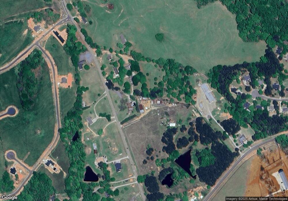
Map
Nearby Homes
- 2165 Harperfield Dr
- 1105 Harperfield Dr
- 1479 Mcfall Ct
- 1010 Long Creek Dr
- 1071 Oaklake Cir
- 1021 Bedford Trail
- 1336 Prince Place
- 1100 Manjula Ln
- 1300 Manjula Ln
- 1175 Manjula Ln
- 1190 Wareview Ct
- 1895 Vintage Place
- 1491 Virgil Langford Rd
- 1496 Malcom Estates Dr
- 1224 Malcom Estates Point Unit Lot 67
- 3164 Malcom Estates Dr
- 2150 Malcom Bridge Rd
- 2160 Malcom Bridge Rd
- 0 Lenru Rd
- 00 Lenru Rd
- 0 Lenru Rd Unit CM979783
- 0 Lenru Rd Unit CM926312
- 0 Lenru Rd Unit CM903380
- 0 Lenru Rd Unit CM919950
- 0 Lenru Rd Unit CM929443
- 0 Lenru Rd Unit CM916037
- 0 Lenru Rd Unit 921953
- 0 Lenru Rd Unit 2944619
- 0 Lenru Rd Unit 3282252
- 0 Lenru Rd Unit 7267077
- 0 Lenru Rd Unit 3193995
- 0 Lenru Rd Unit 3001808
- 2190 Malcom Bridge Rd
- 2101 Malcom Bridge Rd
- 1060 Shady Creek Ct
- 1060 Shady Creek Ct