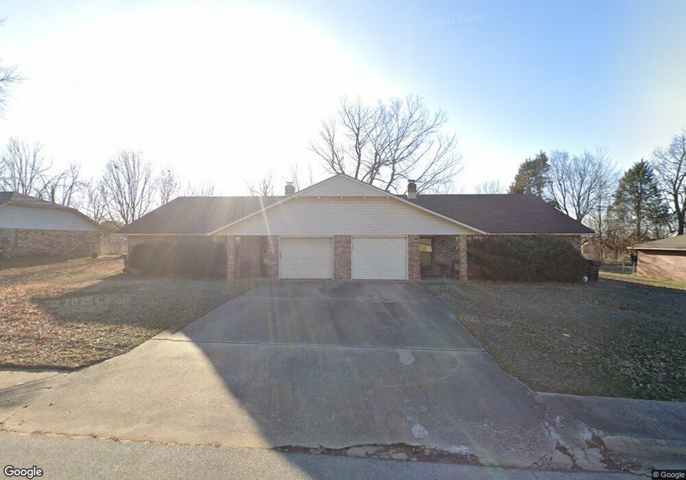
2100 Platt St Unit A&B Springdale, AR 72762
Estimated Value: $292,000 - $343,000
--
Bed
2
Baths
2,921
Sq Ft
$112/Sq Ft
Est. Value
About This Home
This home is located at 2100 Platt St Unit A&B, Springdale, AR 72762 and is currently estimated at $328,268, approximately $112 per square foot. 2100 Platt St Unit A&B is a home located in Washington County with nearby schools including Thurman G. Smith Elementary School, Central Junior High School, and Hellstern Middle School.
Ownership History
Date
Name
Owned For
Owner Type
Purchase Details
Closed on
Sep 30, 2013
Sold by
Steele Meagan E and Steele Meagan Elizabeth
Bought by
Steele Meagan E
Current Estimated Value
Purchase Details
Closed on
Jan 13, 2010
Sold by
Mcmaster Ron and Mcmaster Deborah
Bought by
Steele Meagan E
Purchase Details
Closed on
Mar 7, 1996
Bought by
Huppert Nancy J and Huppert, Nancy J. Rev Trust
Purchase Details
Closed on
Nov 20, 1986
Bought by
Huppert Hugh F
Purchase Details
Closed on
Aug 10, 1978
Bought by
Puskas Andrew and Puskas Dorothy E
Create a Home Valuation Report for This Property
The Home Valuation Report is an in-depth analysis detailing your home's value as well as a comparison with similar homes in the area
Home Values in the Area
Average Home Value in this Area
Purchase History
| Date | Buyer | Sale Price | Title Company |
|---|---|---|---|
| Steele Meagan E | -- | None Available | |
| Steele Meagan E | $135,000 | Waco Title Company | |
| Huppert Nancy J | -- | -- | |
| Huppert Hugh F | $83,000 | -- | |
| Puskas Andrew | -- | -- |
Source: Public Records
Tax History Compared to Growth
Tax History
| Year | Tax Paid | Tax Assessment Tax Assessment Total Assessment is a certain percentage of the fair market value that is determined by local assessors to be the total taxable value of land and additions on the property. | Land | Improvement |
|---|---|---|---|---|
| 2025 | $2,090 | $61,760 | $14,000 | $47,760 |
| 2024 | $1,929 | $61,760 | $14,000 | $47,760 |
| 2023 | $1,803 | $61,760 | $14,000 | $47,760 |
| 2022 | $1,639 | $39,840 | $8,000 | $31,840 |
| 2021 | $1,513 | $39,840 | $8,000 | $31,840 |
| 2020 | $1,387 | $39,840 | $8,000 | $31,840 |
| 2019 | $1,261 | $23,920 | $6,000 | $17,920 |
| 2018 | $1,261 | $23,920 | $6,000 | $17,920 |
| 2017 | $1,249 | $23,920 | $6,000 | $17,920 |
| 2016 | $1,249 | $23,920 | $6,000 | $17,920 |
| 2015 | $1,249 | $23,920 | $6,000 | $17,920 |
| 2014 | $1,475 | $28,250 | $6,000 | $22,250 |
Source: Public Records
Map
Nearby Homes
- 0.78 AC 528 N 40th St
- 1826 Amelia Ln
- 2105 Mcguire St
- 4270 Ravenwood
- 1491 Seneca St
- 4064 Backus Ave
- 1306 Silent Grove Rd
- 1107 White Rd
- 4077 Glenstone Terrace Unit E
- 3453 Knox Loop
- 2350 N 48th St
- 1419 Overo Cir
- 4954 Vista Ave
- 4965 Vista Ave
- 4936 Tree Line Cove
- 4991 Vista Ave
- 4962 Tree Line Cove
- 4994 Vista Ave
- 4987 Tree Line Cove
- 5092 Moose Hollow Terrace
- 2100 Platt St
- 2102 Platt St
- 2006 Platt St
- 2110 Carnes Dr
- 2104 Platt St
- 2004 Platt St
- 2779 Joyce Str St
- 2111 Carnes Dr
- 2108 Carnes Dr
- 3002 Joyce Str St
- 2864 Joyce Str St
- 2109 Carnes Dr
- 2007 Joye St
- 2106 Platt St
- 2106 Carnes Dr
- 2002 Platt St
- 2003 Platt St
- 3205 Westmoreland Ave
- 3203 Westmoreland Ave
- 2104 Carnes Dr