2100 Quaker Pointe Dr Unit 1 Quakertown, PA 18951
Milford-Quakertown NeighborhoodEstimated Value: $6,603,481
--
Bed
--
Bath
29,376
Sq Ft
$225/Sq Ft
Est. Value
About This Home
This home is located at 2100 Quaker Pointe Dr Unit 1, Quakertown, PA 18951 and is currently estimated at $6,603,481, approximately $224 per square foot. 2100 Quaker Pointe Dr Unit 1 is a home located in Bucks County with nearby schools including Pfaff Elementary School, Quakertown Community Senior High School, and United Friends School.
Ownership History
Date
Name
Owned For
Owner Type
Purchase Details
Closed on
Dec 15, 2004
Sold by
Mokn Realty Llc
Bought by
Mokn Partnership Lp
Current Estimated Value
Purchase Details
Closed on
Jun 18, 2004
Sold by
2100 Quaker Pointe Associates Llc
Bought by
Mokn Realty Llc
Home Financials for this Owner
Home Financials are based on the most recent Mortgage that was taken out on this home.
Original Mortgage
$2,720,000
Interest Rate
6.12%
Mortgage Type
Commercial
Create a Home Valuation Report for This Property
The Home Valuation Report is an in-depth analysis detailing your home's value as well as a comparison with similar homes in the area
Home Values in the Area
Average Home Value in this Area
Purchase History
| Date | Buyer | Sale Price | Title Company |
|---|---|---|---|
| Mokn Partnership Lp | -- | -- | |
| Mokn Realty Llc | $3,400,000 | -- |
Source: Public Records
Mortgage History
| Date | Status | Borrower | Loan Amount |
|---|---|---|---|
| Previous Owner | Mokn Realty Llc | $2,720,000 | |
| Closed | Mokn Realty Llc | $340,000 |
Source: Public Records
Tax History Compared to Growth
Tax History
| Year | Tax Paid | Tax Assessment Tax Assessment Total Assessment is a certain percentage of the fair market value that is determined by local assessors to be the total taxable value of land and additions on the property. | Land | Improvement |
|---|---|---|---|---|
| 2025 | $68,587 | $340,110 | $27,560 | $312,550 |
| 2024 | $68,587 | $340,110 | $27,560 | $312,550 |
| 2023 | $67,906 | $340,110 | $27,560 | $312,550 |
| 2022 | $66,757 | $340,110 | $27,560 | $312,550 |
| 2021 | $66,757 | $340,110 | $27,560 | $312,550 |
| 2020 | $66,757 | $340,110 | $27,560 | $312,550 |
| 2019 | $64,907 | $340,110 | $27,560 | $312,550 |
| 2018 | $62,655 | $340,110 | $27,560 | $312,550 |
| 2017 | $60,716 | $340,110 | $27,560 | $312,550 |
| 2016 | $60,716 | $340,110 | $27,560 | $312,550 |
| 2015 | -- | $340,110 | $27,560 | $312,550 |
| 2014 | -- | $340,110 | $27,560 | $312,550 |
Source: Public Records
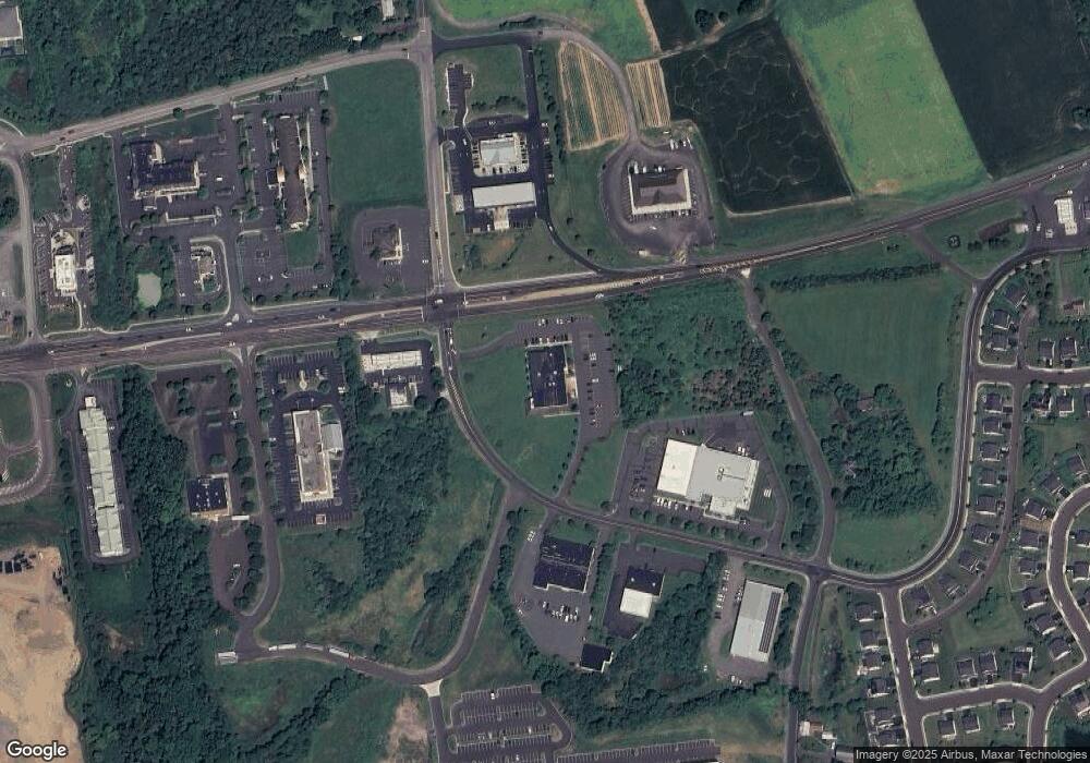
Map
Nearby Homes
- 1999 Crossing Way
- 1926 Alamingo Dr
- 0 Krammes Rd Unit PABU2104522
- 2064 Allentown Rd
- 2120 Brinkman Rd
- 444 Enclave Dr Unit COVINGTON
- 444 Enclave Dr Unit DEVONSHIRE
- 444 Enclave Dr Unit HAWTHORNE
- 444 Enclave Dr Unit SAVANNAH
- 444 Enclave Dr Unit SEBASTIAN
- 444 Enclave Dr Unit PARKER
- 1844 Enclave Dr
- 1832 Enclave Dr
- 1690 Kumry Rd
- 1813 Sycamore Dr
- 1715 Kumry Rd
- 2255 Spinnerstown Rd
- 2420 Bannerstone Dr
- 2453 Hieter Rd
- 1715 Weidner Ct
- 2100 Quaker Pointe Dr
- 2099 Quaker Pointe Dr
- 0 Rosenberger Rd
- 2075 Rosenberger Rd
- 1907 John Fries Hwy
- 1953 Alamingo Dr
- 1949 Alamingo Dr
- 1983 Alamingo Dr
- 1971 Alamingo Dr
- 1945 Alamingo Dr
- 1971 Crossing Way
- 1971 Milford Square Pike
- 2130 Weiss Rd
- 2005 Milford Square Pike
- 1975 Milford Square Pike
- 1941 Alamingo Dr
- 1975 Crossing Way
- 2003 Crossings Way
- 1999 Milford Square Pike
- 1995 Milford Square Pike