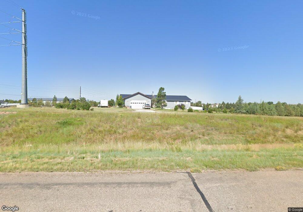
2100 Roundtop Rd Cheyenne, WY 82009
Estimated Value: $558,000 - $652,964
--
Bed
--
Bath
2,376
Sq Ft
$250/Sq Ft
Est. Value
About This Home
This home is located at 2100 Roundtop Rd, Cheyenne, WY 82009 and is currently estimated at $594,321, approximately $250 per square foot. 2100 Roundtop Rd is a home located in Laramie County with nearby schools including Gilchrist Elementary School, McCormick Junior High School, and Central High School.
Ownership History
Date
Name
Owned For
Owner Type
Purchase Details
Closed on
Aug 24, 1999
Sold by
Hasenauer Moses and Hasenauer Loretta
Bought by
Duncan Lawton G and Duncan Cheri L
Current Estimated Value
Home Financials for this Owner
Home Financials are based on the most recent Mortgage that was taken out on this home.
Original Mortgage
$209,000
Interest Rate
7.68%
Create a Home Valuation Report for This Property
The Home Valuation Report is an in-depth analysis detailing your home's value as well as a comparison with similar homes in the area
Home Values in the Area
Average Home Value in this Area
Purchase History
| Date | Buyer | Sale Price | Title Company |
|---|---|---|---|
| Duncan Lawton G | -- | -- |
Source: Public Records
Mortgage History
| Date | Status | Borrower | Loan Amount |
|---|---|---|---|
| Closed | Duncan Lawton G | $209,000 |
Source: Public Records
Tax History Compared to Growth
Tax History
| Year | Tax Paid | Tax Assessment Tax Assessment Total Assessment is a certain percentage of the fair market value that is determined by local assessors to be the total taxable value of land and additions on the property. | Land | Improvement |
|---|---|---|---|---|
| 2025 | $3,947 | $32,037 | $2,008 | $30,029 |
| 2024 | $3,947 | $61,721 | $4,015 | $57,706 |
| 2023 | $3,713 | $59,503 | $4,015 | $55,488 |
| 2022 | $3,181 | $50,346 | $4,015 | $46,331 |
| 2021 | $2,484 | $39,880 | $3,844 | $36,036 |
| 2020 | $2,415 | $38,971 | $3,844 | $35,127 |
| 2019 | $2,293 | $37,121 | $3,844 | $33,277 |
| 2018 | $2,150 | $35,316 | $3,844 | $31,472 |
| 2017 | $2,173 | $35,355 | $3,844 | $31,511 |
| 2016 | $2,149 | $34,975 | $3,844 | $31,131 |
| 2015 | $2,404 | $38,764 | $3,844 | $34,920 |
| 2014 | $2,620 | $38,707 | $3,844 | $34,863 |
Source: Public Records
Map
Nearby Homes
- TBD Laramie St
- TBD W Lincolnway
- 3307 Hynds Blvd
- Lots 1 & 2 W Lincolnway
- 1122 W 28th St
- 3619 Cribbon Ave
- 3923 Mccomb Ave
- TBD Grant Ave
- Lot 6 Blk 1 Paul Smith Way
- Lot 5 Blk 1 Paul Smith Way
- 900 W 31st St
- 922 W 27th St
- 3515 Dillon Ave
- 2916 Reed Ave
- 2702 Snyder Ave
- 810 W 31st St
- 3068 Reed Ave
- 3202 Reed Ave
- 712 W 31st St
- 3018 Bent Ave
- 1706 Treadway Trail
- 1714 Treadway Trail
- 2209 Phillips Place
- 2003 Roundtop Rd
- 2115 Phillips Place
- 7017 Military Rd
- 7011 Military Rd
- 1815 Mckinney Dr
- 2103 Phillips Place
- 1905 Roundtop Rd
- 2301 Phillips Place
- 1719 Mckinney Dr
- 2300 Phillips Place
- 2104 Phillips Place
- 6917 Military Rd
- 1713 Mckinney Dr
- 1803 Roundtop Rd
- 1819 Treadway Trail
- 6909 Military Rd
- 2401 Phillips Place