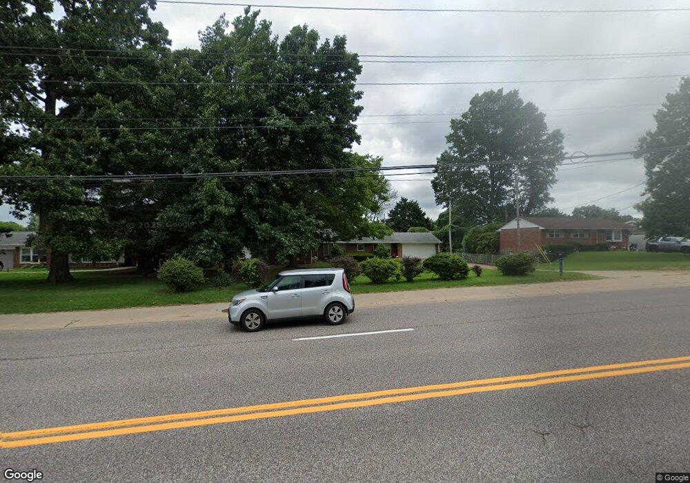
2100 Union Rd Saint Louis, MO 63125
Mehlville NeighborhoodEstimated Value: $263,000 - $285,453
About This Home
This home is located at 2100 Union Rd, Saint Louis, MO 63125 and is currently estimated at $277,113, approximately $206 per square foot. 2100 Union Rd is a home located in St. Louis County with nearby schools including Bierbaum Elementary School, Margaret Buerkle Middle School, and Mehlville High School.
Ownership History
We collect this data history from publicly available records. To have your information removed, we recommend requesting removal directly through your county’s website.
Purchase Details
Home Financials for this Owner
Home Financials are based on the most recent Mortgage that was taken out on this home.Home Values in the Area
Average Home Value in this Area
Purchase History
We collect this data history from publicly available records. To have your information removed, we recommend requesting removal directly through your county’s website.
| Date | Buyer | Sale Price | Title Company |
|---|---|---|---|
| $124,000 | -- |
Mortgage History
We collect this data history from publicly available records. To have your information removed, we recommend requesting removal directly through your county’s website.
| Date | Status | Borrower | Loan Amount |
|---|---|---|---|
| Open | $117,800 |
Tax History
We collect this data history from publicly available records. To have your information removed, we recommend requesting removal directly through your county’s website.
| Year | Tax Paid | Tax Assessment Tax Assessment Total Assessment is a certain percentage of the fair market value that is determined by local assessors to be the total taxable value of land and additions on the property. | Land | Improvement |
|---|---|---|---|---|
| 2025 | $3,071 | $49,000 | $18,010 | $30,990 |
| 2024 | $3,071 | $45,260 | $11,210 | $34,050 |
| 2023 | $3,032 | $45,260 | $11,210 | $34,050 |
| 2022 | $2,896 | $40,130 | $12,010 | $28,120 |
| 2021 | $2,570 | $40,130 | $12,010 | $28,120 |
| 2020 | $2,195 | $32,550 | $12,810 | $19,740 |
| 2019 | $2,189 | $32,550 | $12,810 | $19,740 |
| 2018 | $2,042 | $27,400 | $6,840 | $20,560 |
| 2017 | $2,040 | $27,400 | $6,840 | $20,560 |
| 2016 | $1,801 | $23,170 | $5,610 | $17,560 |
| 2015 | $1,689 | $23,170 | $5,610 | $17,560 |
| 2014 | $1,939 | $26,400 | $4,260 | $22,140 |
Map
- 4231 Tupelo Dr
- 4135 Sweet Gum Dr
- 4124 Green Park Rd
- 10140 Shapfield Ln
- 4234 Burnett Walk
- 2 Ashford at Grove at Grant’s Trail Manors
- 10259 Highbury Ln
- 9924 Bunker Hill Dr Unit G
- 9920 Bunker Hill Dr Unit E
- 4262 Eiffel Dr Unit 4262
- 4113 Sunrise Way Dr
- 9128 Villaridge Ct
- 10031 Echoridge Ln Unit A
- 9925 Bunker Hill Dr Unit F
- 9117 Villaridge Ct Unit D
- 1869 Mansard Dr Unit 1869
- 2 Royal II at Grove at Grant’s Trail Manors
- 10237 Carlton Place Ct S
- 2 Sterling at Grove at Grant’s Trail Manors
- 9047 Villaridge Ct Unit A
Ask me questions while you tour the home.