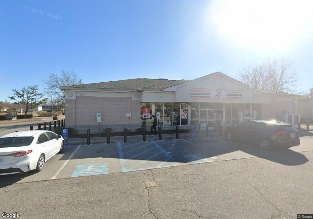
2100 Upton Dr Virginia Beach, VA 23454
Virginia Beach Central NeighborhoodEstimated Value: $5,663,119
--
Bed
--
Bath
6,004
Sq Ft
$943/Sq Ft
Est. Value
About This Home
This home is located at 2100 Upton Dr, Virginia Beach, VA 23454 and is currently estimated at $5,663,119, approximately $943 per square foot. 2100 Upton Dr is a home located in Virginia Beach City with nearby schools including Red Mill Elementary School, Princess Anne Middle School, and Floyd E. Kellam High School.
Ownership History
Date
Name
Owned For
Owner Type
Purchase Details
Closed on
Jul 26, 2017
Sold by
Doswell Ventures Llc A Virginia Limited
Bought by
7-Eleven Inc A Texas Corporation
Current Estimated Value
Purchase Details
Closed on
Nov 3, 2009
Sold by
Exxonmobil Oil Corp
Bought by
Doswell Ventures Llc
Purchase Details
Closed on
Dec 19, 2003
Sold by
Lakeside / Swinson Note L
Bought by
Lake Gem L L C
Purchase Details
Closed on
Nov 14, 2003
Sold by
Lake Gem L L C
Bought by
Exxon Mobil Oil Corp
Create a Home Valuation Report for This Property
The Home Valuation Report is an in-depth analysis detailing your home's value as well as a comparison with similar homes in the area
Home Values in the Area
Average Home Value in this Area
Purchase History
| Date | Buyer | Sale Price | Title Company |
|---|---|---|---|
| 7-Eleven Inc A Texas Corporation | $3,580,922 | Attorney | |
| Doswell Ventures Llc | $1,745,000 | -- | |
| Lake Gem L L C | $188,620 | -- | |
| Exxon Mobil Oil Corp | $102,500 | -- |
Source: Public Records
Tax History Compared to Growth
Tax History
| Year | Tax Paid | Tax Assessment Tax Assessment Total Assessment is a certain percentage of the fair market value that is determined by local assessors to be the total taxable value of land and additions on the property. | Land | Improvement |
|---|---|---|---|---|
| 2025 | $26,490 | $2,719,400 | $1,593,400 | $1,126,000 |
| 2024 | $26,490 | $2,730,900 | $1,593,400 | $1,137,500 |
| 2023 | $26,974 | $2,724,600 | $1,593,400 | $1,131,200 |
| 2022 | $27,030 | $2,730,300 | $1,594,300 | $1,136,000 |
| 2021 | $25,556 | $2,581,400 | $1,594,300 | $987,100 |
| 2020 | $25,706 | $2,526,400 | $1,594,300 | $932,100 |
| 2019 | $25,041 | $2,378,500 | $1,455,700 | $922,800 |
| 2018 | $23,844 | $2,378,500 | $1,455,700 | $922,800 |
| 2017 | $22,838 | $2,278,100 | $1,386,400 | $891,700 |
| 2016 | $21,796 | $2,201,600 | $1,386,400 | $815,200 |
| 2015 | $21,858 | $2,207,900 | $1,386,400 | $821,500 |
| 2014 | $20,636 | $2,223,300 | $1,397,600 | $825,700 |
Source: Public Records
Map
Nearby Homes
- 1097 Red Mill Blvd
- 2041 Hardwick Ct
- 2504 Highfield Ct
- 2100 Oaklawn Ct
- 1213 Brookhill Ct
- 1265 Warner Hall Dr
- 2153 Bierce Dr
- 2300 Wessington Dr
- 948 Sandoval Dr
- 2425 Wessington Dr
- 2128 Teasdale Dr
- 2140 Teasdale Dr
- 2337 Treesong Trail
- 2304 Treesong Trail
- 2064 Schubert Dr
- 2325 Treesong Trail
- 2664 Elson Green Ave
- 1306 Tuscany Dr
- 2629 Level Loop Rd
- 1913 Ravel Dr
- 1085 Nimmo Pkwy
- 1029 Mill Crossing Dr
- 1088 Nimmo Pkwy
- 1101 Nimmo Pkwy
- 1100 Nimmo Pkwy
- 1004 Red Mill Blvd
- 2349 Scotchtown Dr
- 2345 Scotchtown Dr
- 1008 Red Mill Blvd
- 2353 Scotchtown Dr
- 1001 Red Mill Blvd
- 2341 Scotchtown Dr
- 2357 Scotchtown Dr
- 2504 Maymont Ct
- 1012 Red Mill Blvd
- 1101 Whitestone Way
- 2500 Maymont Ct
- 1113 Nimmo Pkwy
- 2204 Elmington Cir
- 1016 Red Mill Blvd